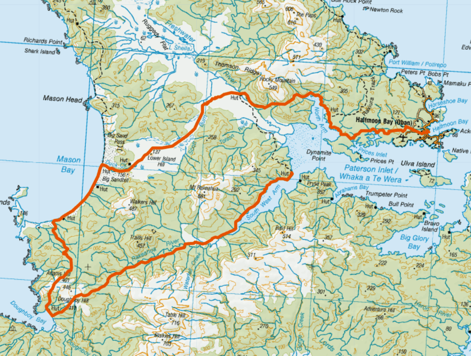
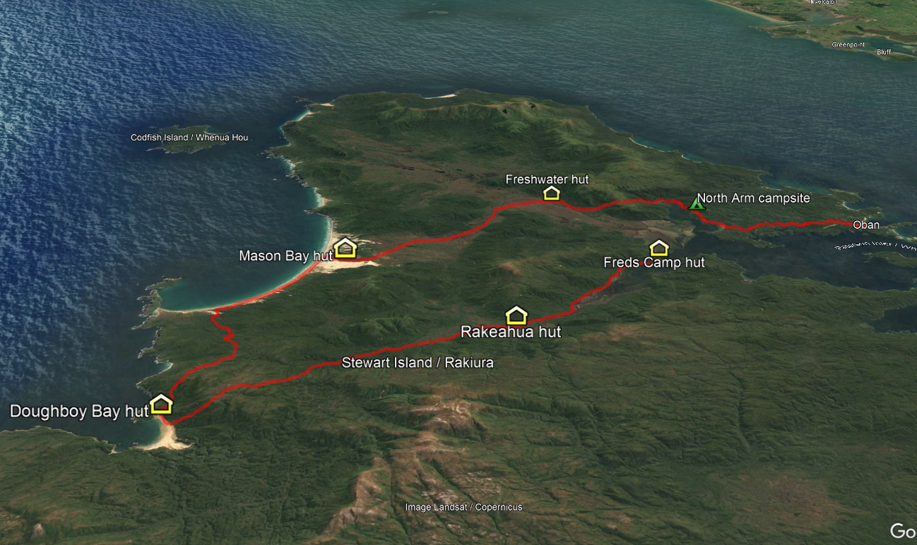
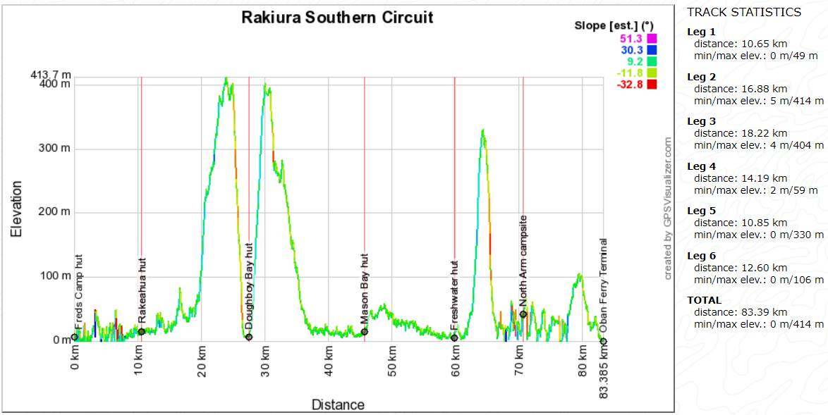
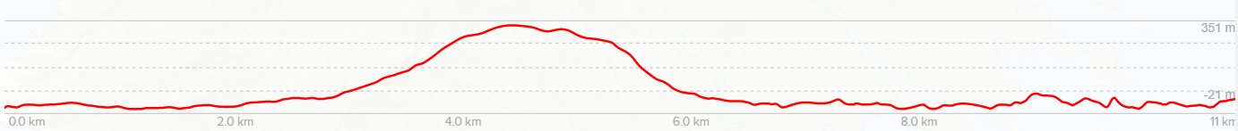
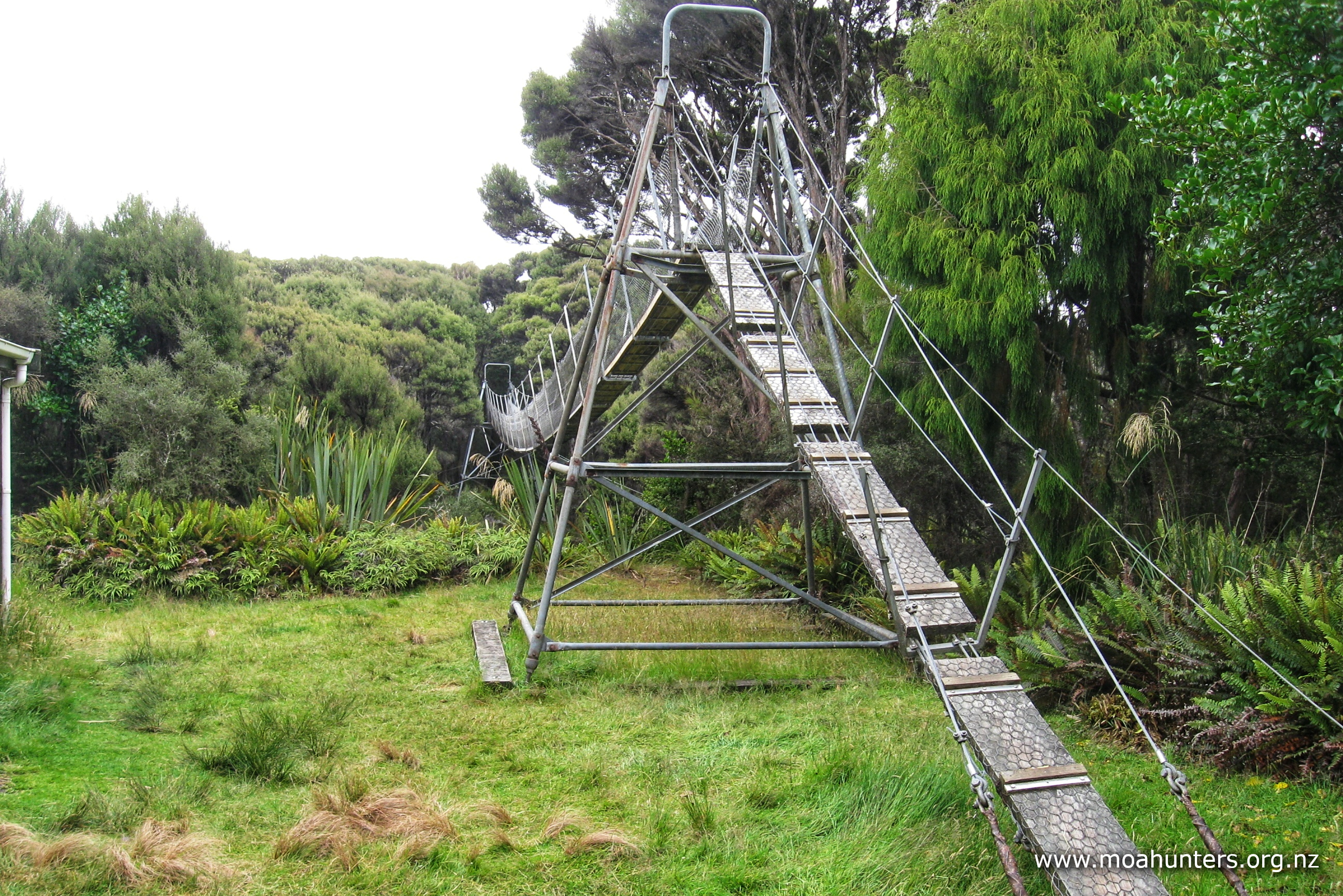
Rakiura Stewart Island is the home of New Zealand’s southernmost Department of Conservation hut. Nestled just below latitude 47° south, the Doughboy hut is as close as it gets to the south pole when walking DOC tracks. We were all excited to visit Doughboy, not only because it is a looong way south, but also due to its stunning looking location and intriguing name…
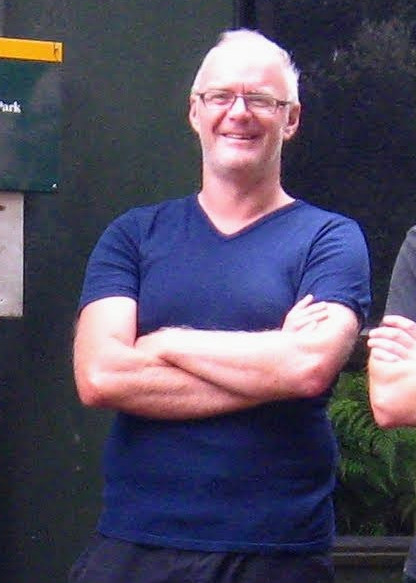
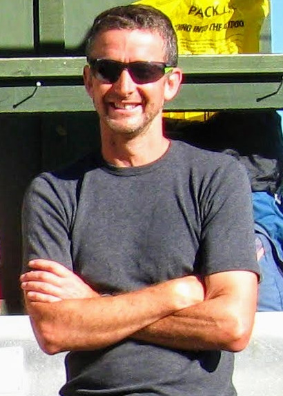
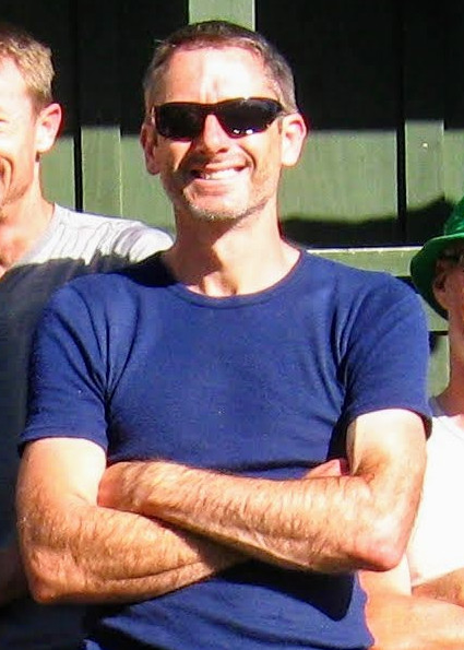
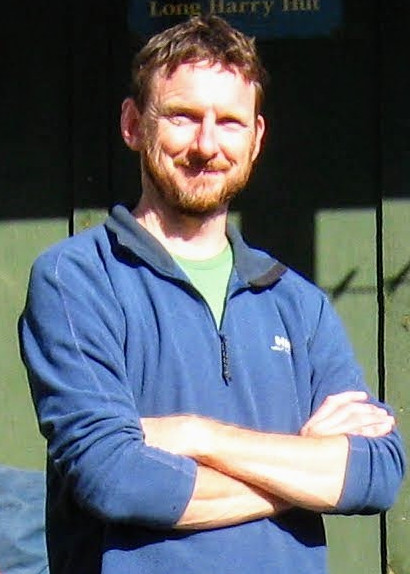
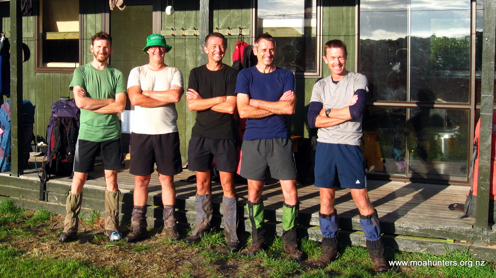
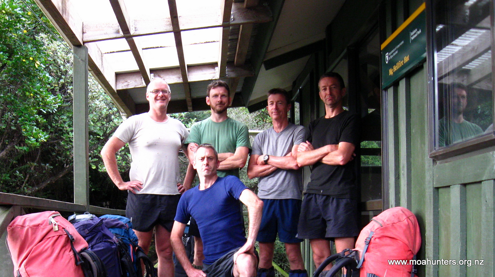
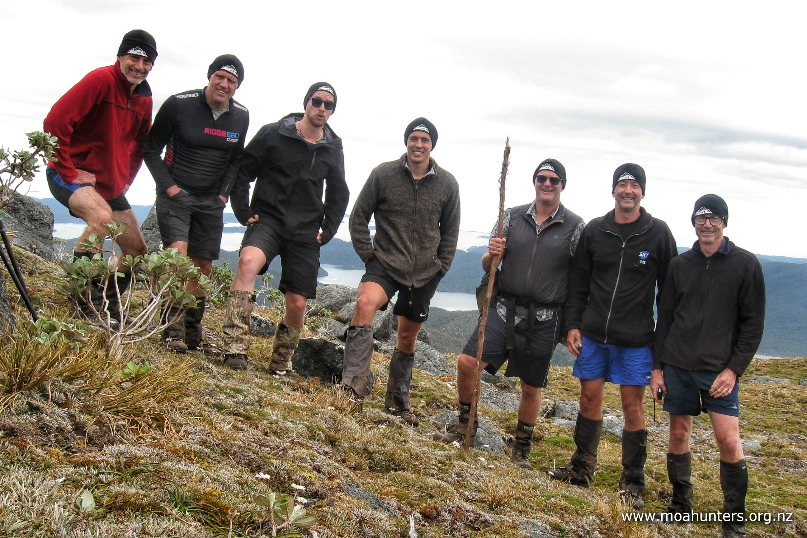
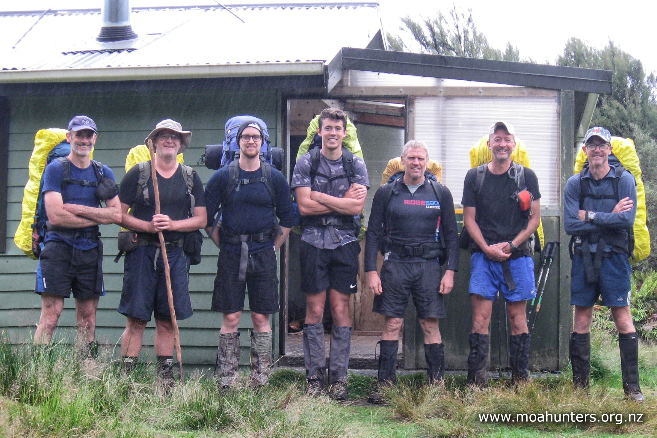
Moa Hunters on this trip: Adam, John, Paul, Luke, Chris, Logan, Richard
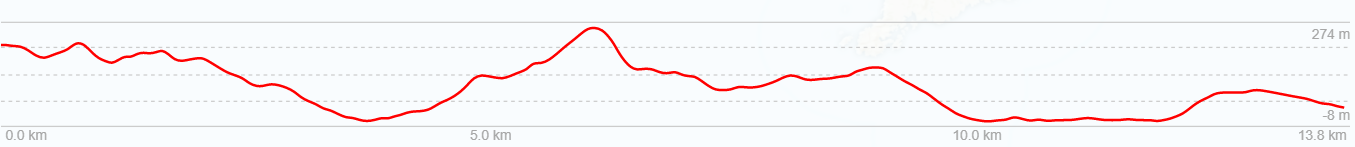
The Trip:
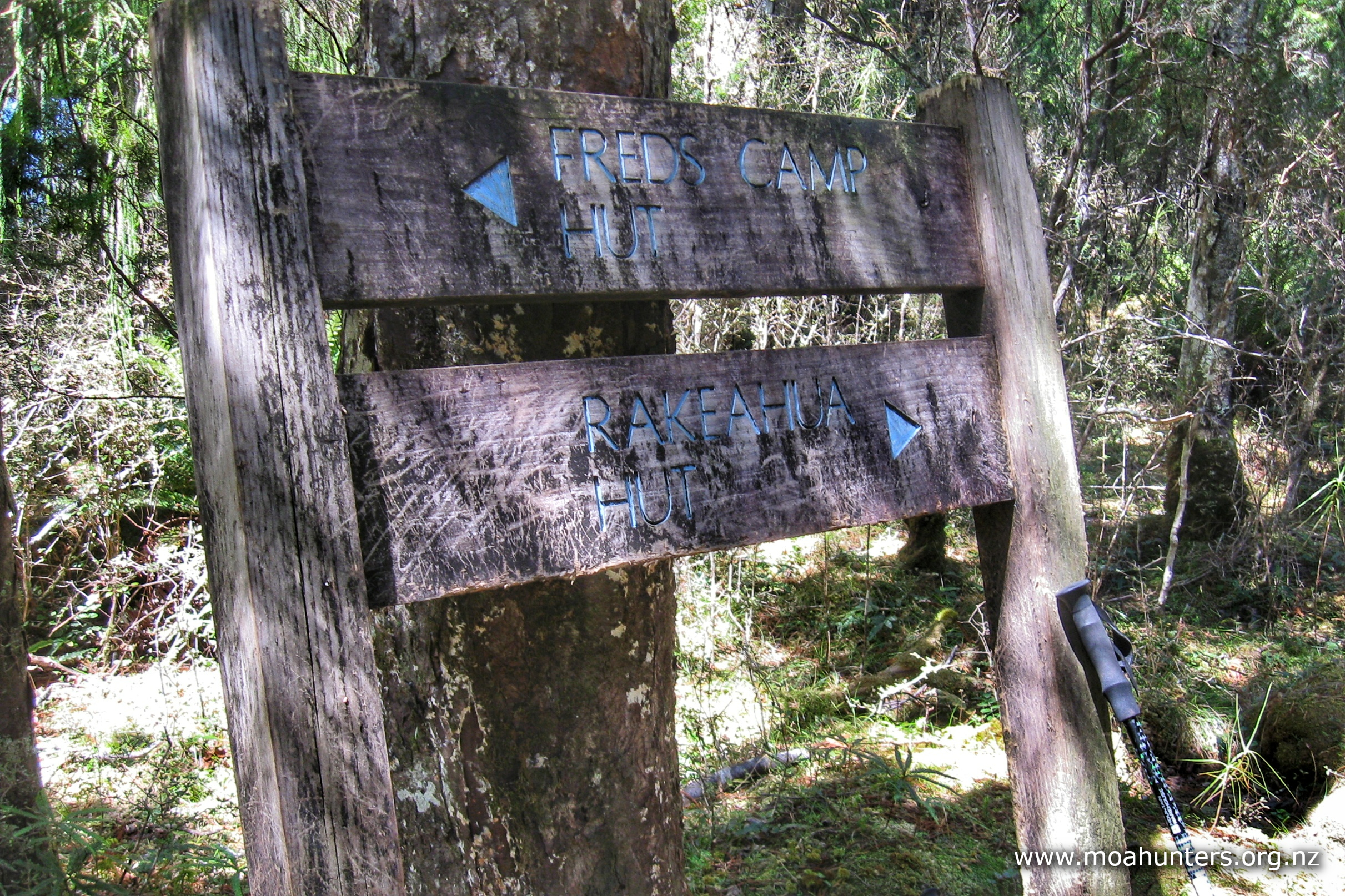
Day 1: Christchurch to Fred’s Camp hut
Day 2: Fred’s Camp hut to Rakeahua hut
Day 3: Side trip: Mt Rakeahua
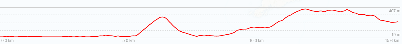
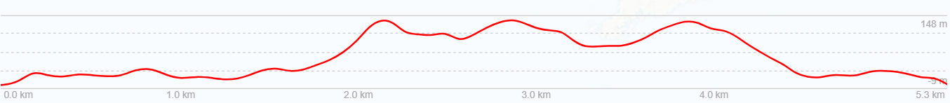
Day 4: Rakeahua hut to Doughboy hut
Day 5: Exploring Doughboy bay
Day 6: Doughboy hut to Mason Bay hut
Day 7: Mason Bay hut to Freshwater hut
Day 8: Freshwater hut to North Arm campsite
Day 9: North Arm campsite to Oban to Christchurch
Day 1
SATURDay 15th JANUARY – CHRISTCHURCH to Fred’s CAMP hut
Quite a bit of planning and logistics work went into getting us to this day. More than the usual, and much of it taking place months in advance. Early morning transport to Christchurch airport, flights, shuttlebus transfers, ferry bookings, gear storage, food and equipment drop-offs and water taxi rides were all arranged well ahead of time. Some taking many e-mails and phone calls back and forwards.

We will assume you are all familiar with the blah-de-blah of flights, buses and ferries, and fast-forward you to Oban – the largest, smallest, and only town on Rakiura Stewart Island.
Just ahead of 2:45pm Saturday afternoon, our ginger-bearded and slightly wild ferry captain (who must have Viking ancestry) expertly nudged the Foveaux Express alongside the Oban wharf and ferry terminal, announcing briskly that we had arrived. The trip from Bluff had been a relatively smooth one, which was a relief to us all given the rather formidable reputation of Foveaux Strait.
We bought some supplies at the Oban 4 Square store, then wandered up Main Street to the Rakiura Charters and Water Taxi office and dropped off two boxes of additional goodies and supplies. These would be taken out to Freshwater hut on day seven of our walk, saving us unnecessary work carrying tents and other heavy gear around the Southern circuit to that point. Moa Hunters hate unnecessary work.
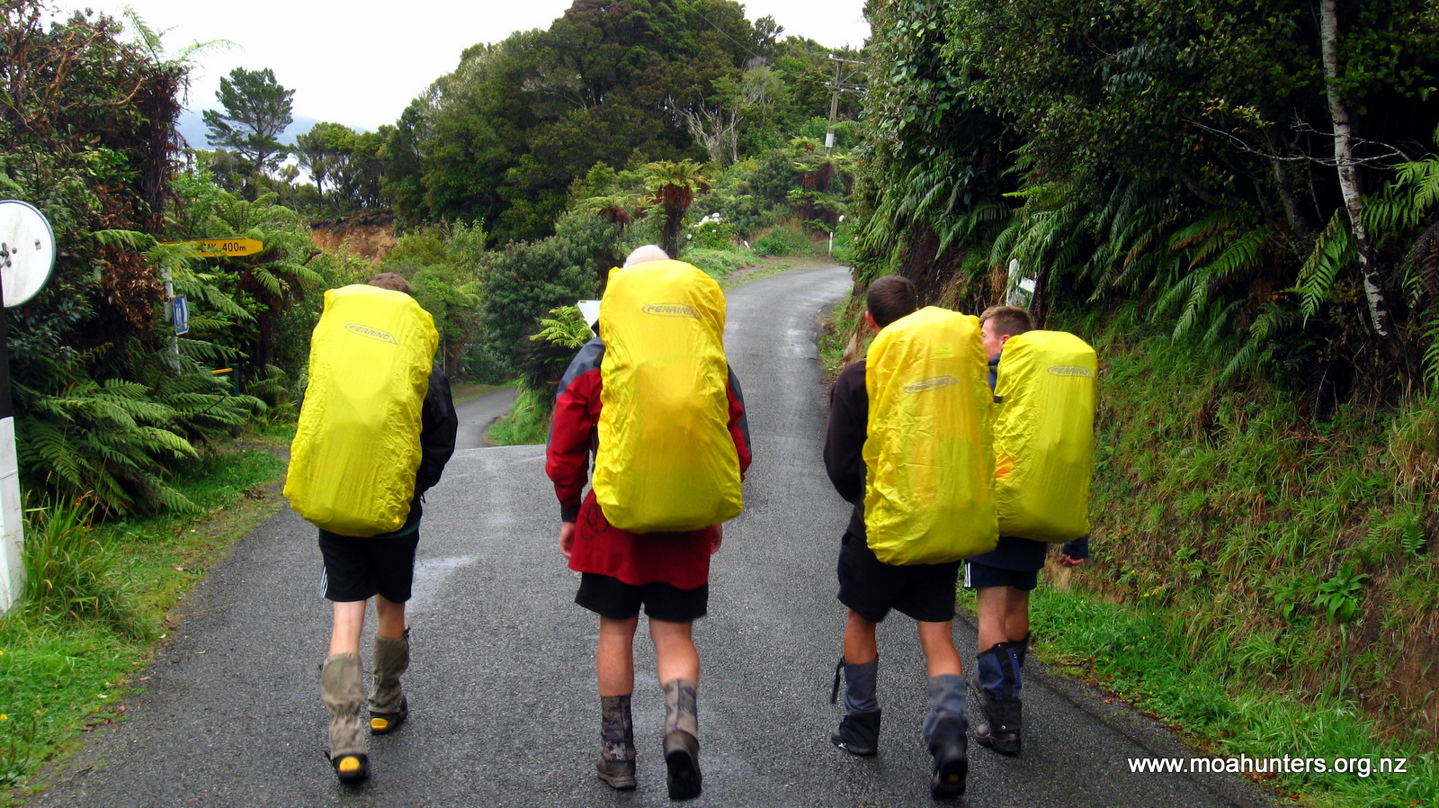
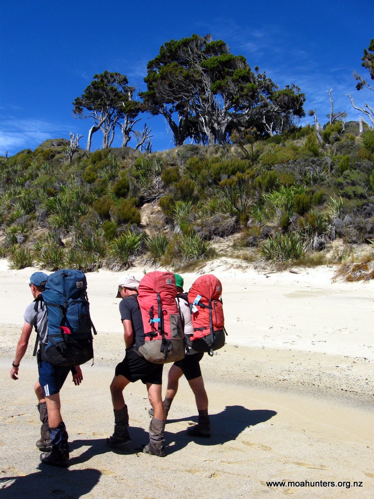
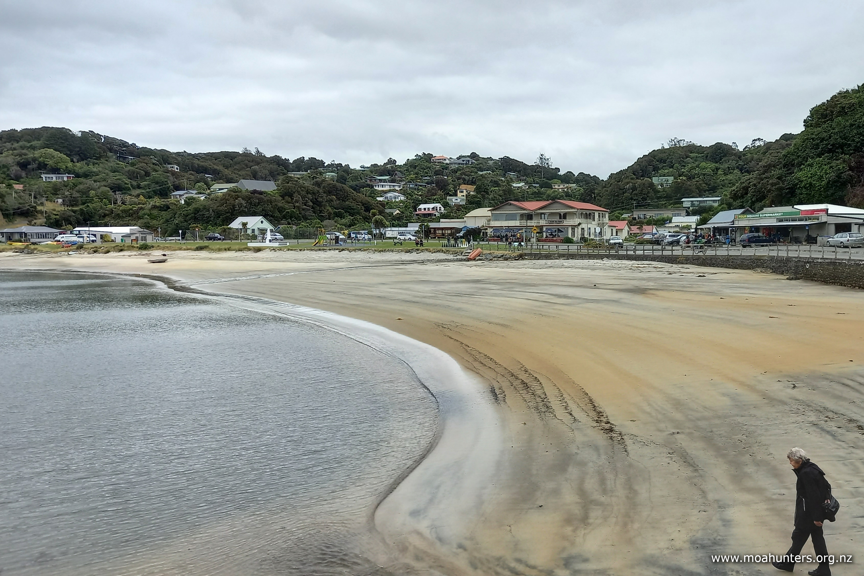
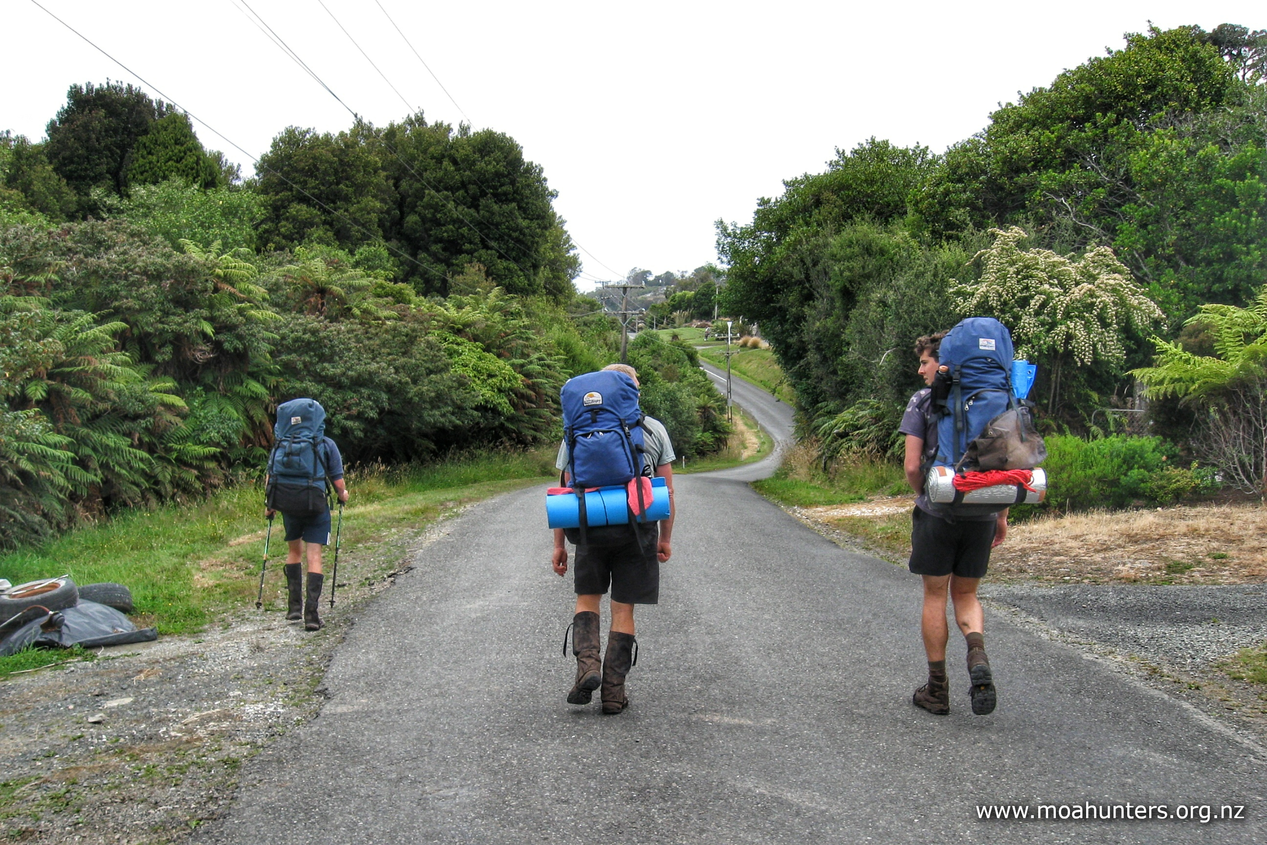
Walking to Golden Bay from Oban gave our legs an early preview of the days to come. Loaded with shared food, lunches and scroggin, our packs felt heavy. Unaccustomed to the extra weight, our quad and calf muscles soon let us know the small hill between Oban and Golden Bay is quite steep.

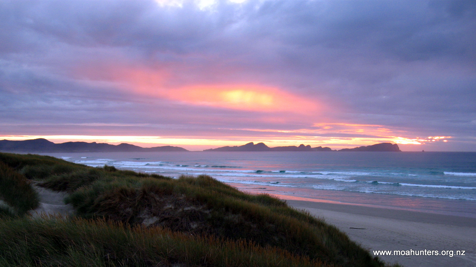
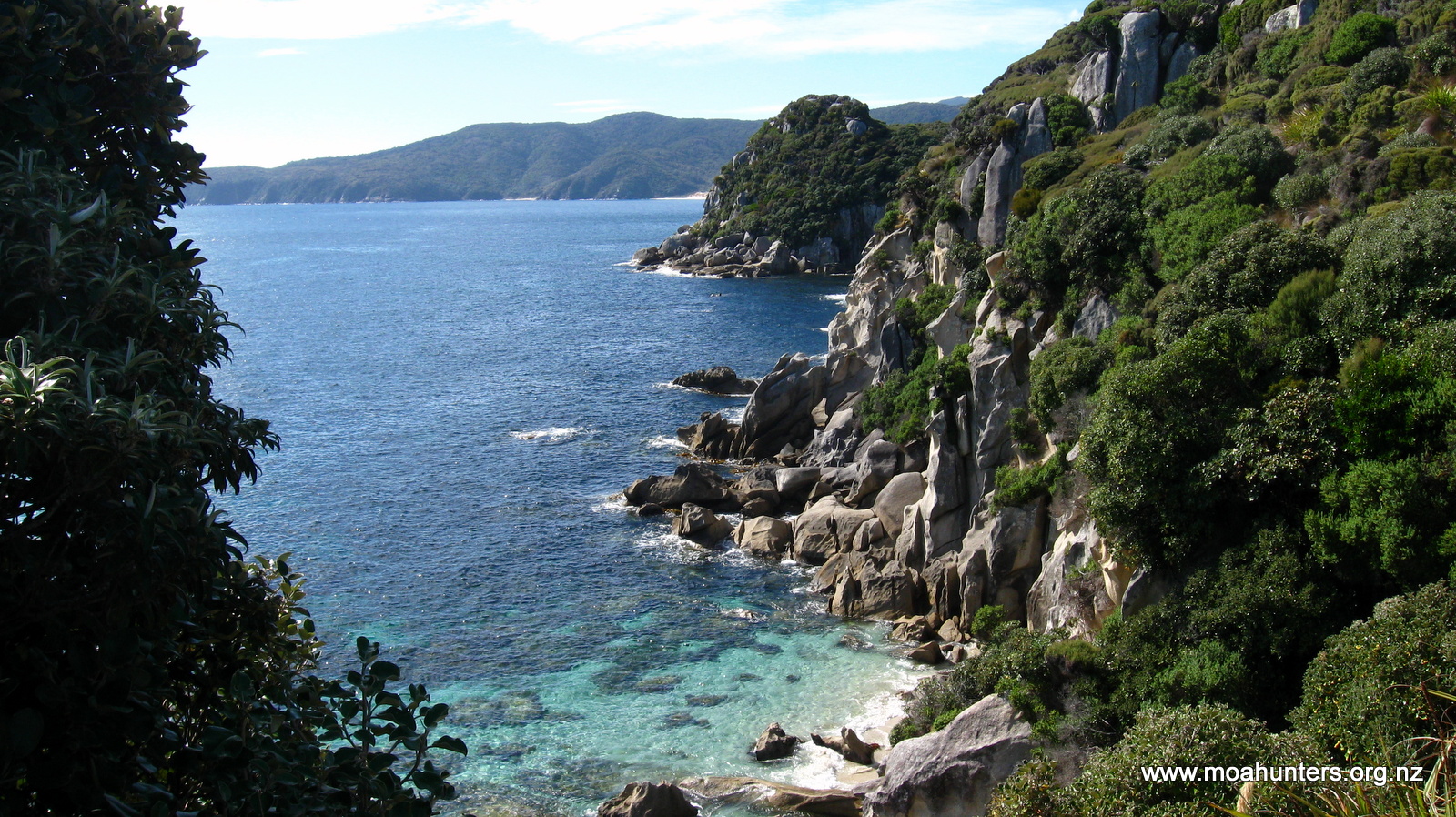
The sky above was clear blue. Rakiura was on display at it’s magnificent best. The late-afternoon sun shone through the crystal clear water of Golden Bay revealing every detail of the sea floor for us to enjoy. Boisterous tui called to each other as they flitted from one flowering flax to another. It really felt like we had arrived in paradise.
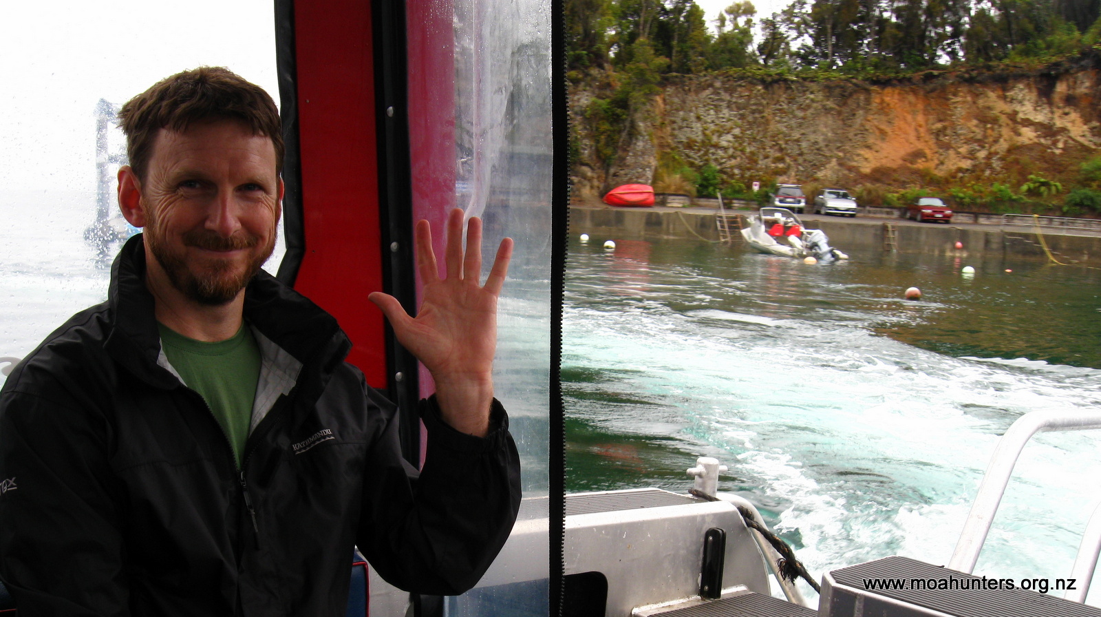
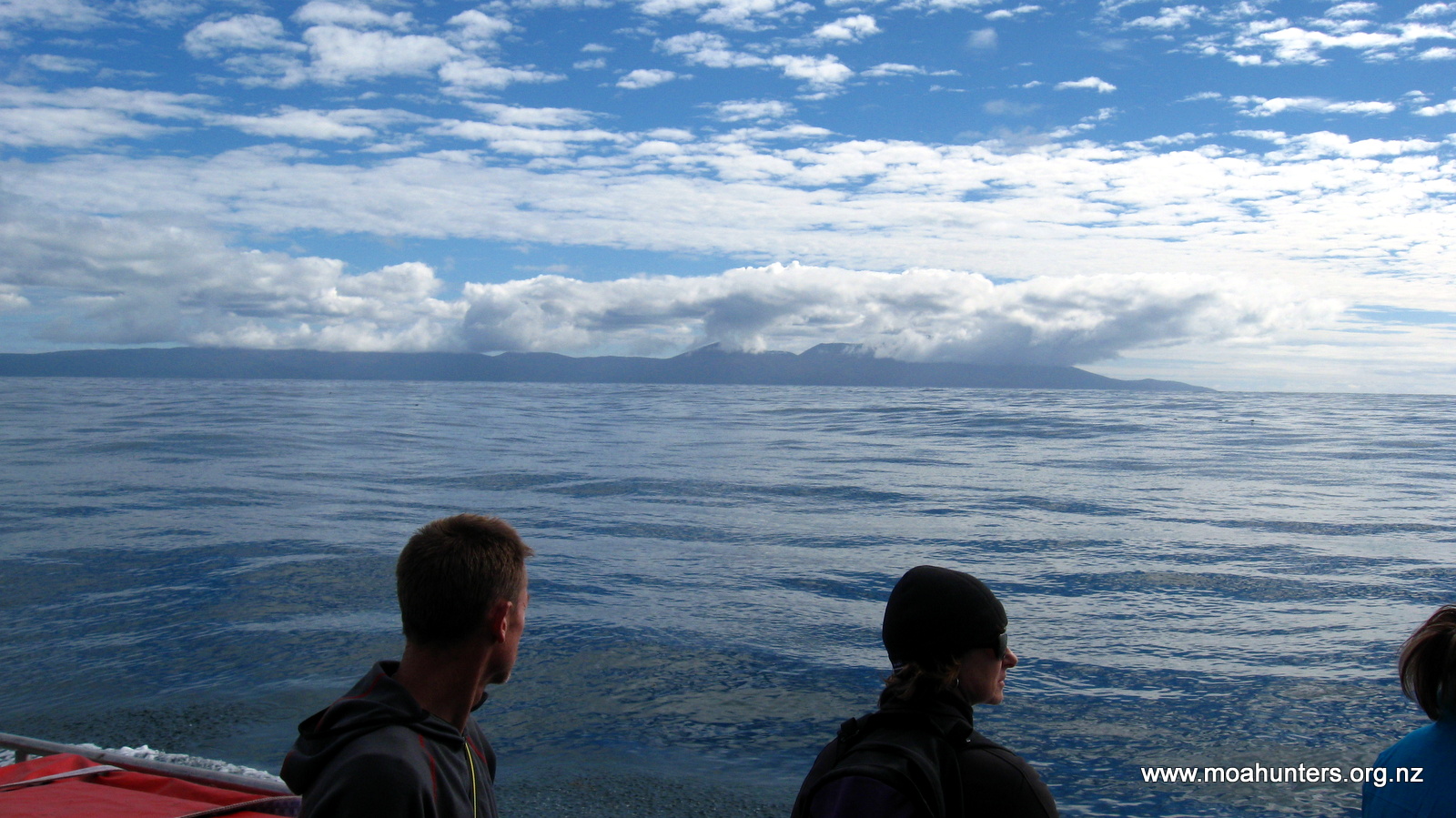
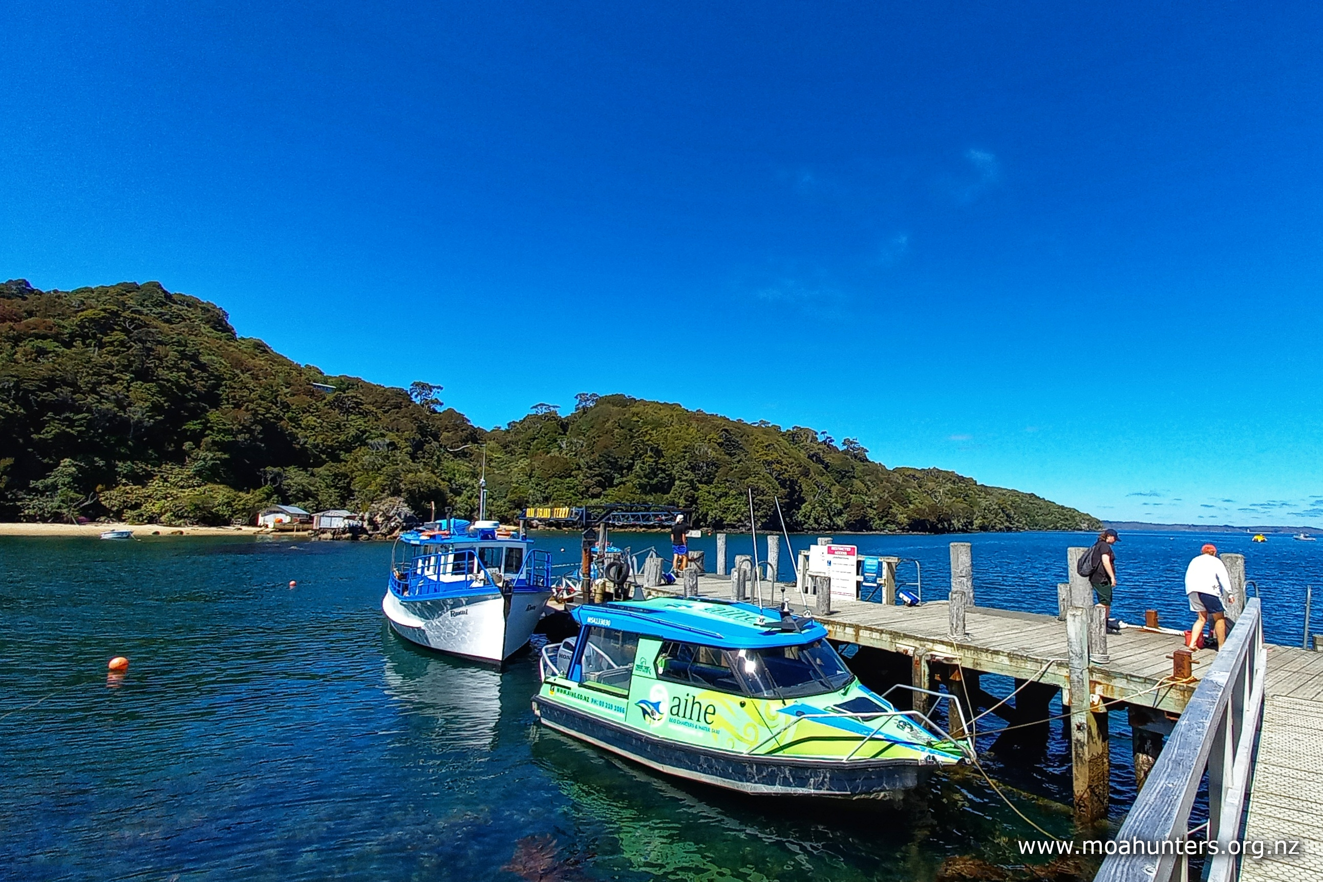
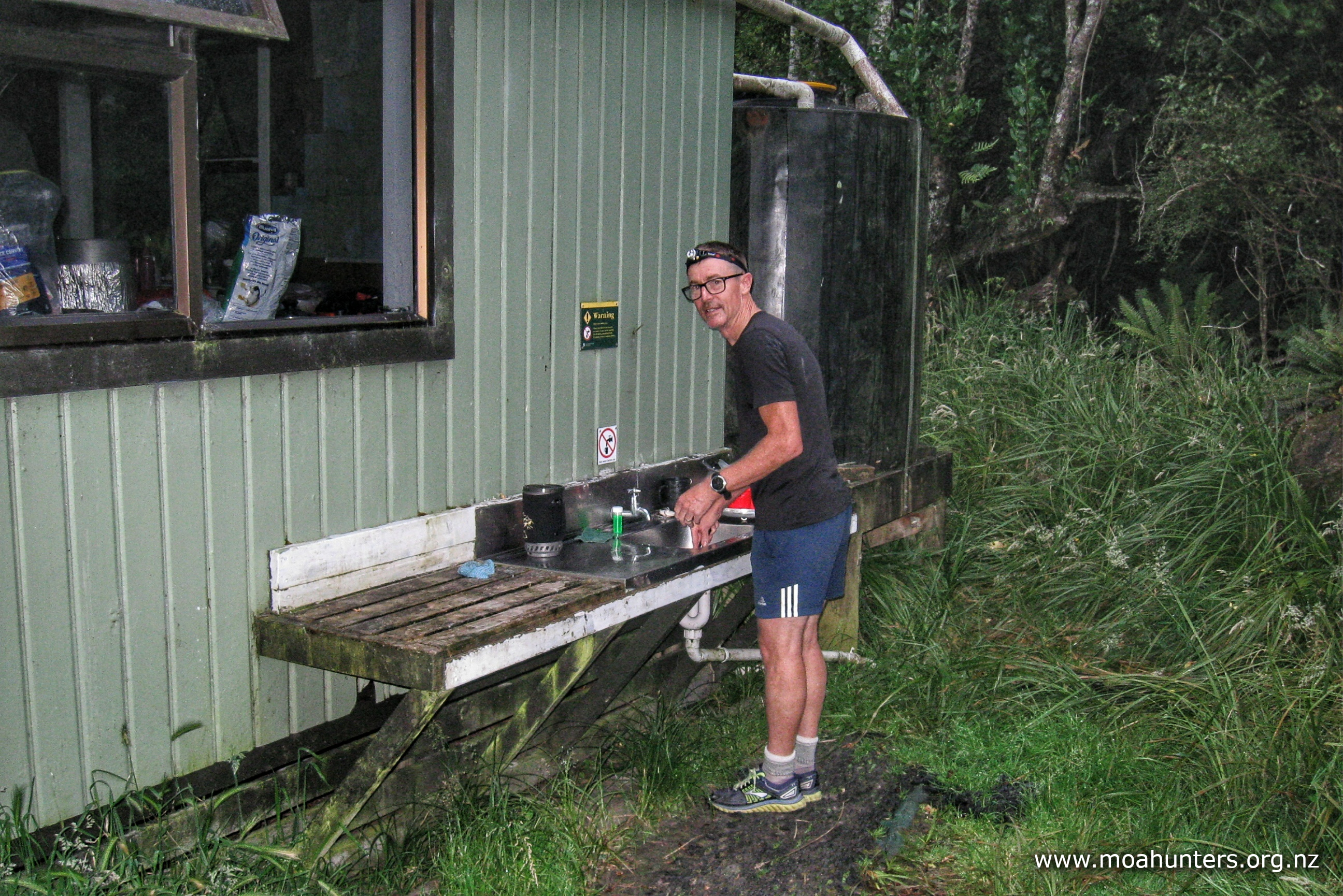
The water taxi ride across Paterson Inlet to Fred’s camp at the head of southwest arm takes a bit over twenty minutes. As we eased into the small jetty we could see a couple of hunters on shore. We had been told there were hunters already based at the hut, so it was no surprise. They had fishing gear on the jetty and some camp chairs parked in a sunny spot near the hut. Hunters are always very well setup with gear on their trips.
We hefted our packs up onto the jetty, thanked Chris the water taxi captain, and made our way towards the hut. Our three hunter friends were Alan, Allan and Leathen. They had been at the hut a few days and were planning a mix of deer stalking and fishing to fill their time. It was Leathen’s first trip to Rakiura and we could tell Alan and Allan were keen to ensure he enjoyed his time there. The two older men had been to the Island many times before and knew this area well.
We felt a bit guilty as we piled all our gear into the ten bunk hut, squeezing poor Alan, Allan and Leathen down to the far end as we set about cooking our dinner. Especially when they were so generous offering the use of their kettle, cooker and other items. We got on well with the three men and enjoyed hearing tales of their previous trips to Rakiura.
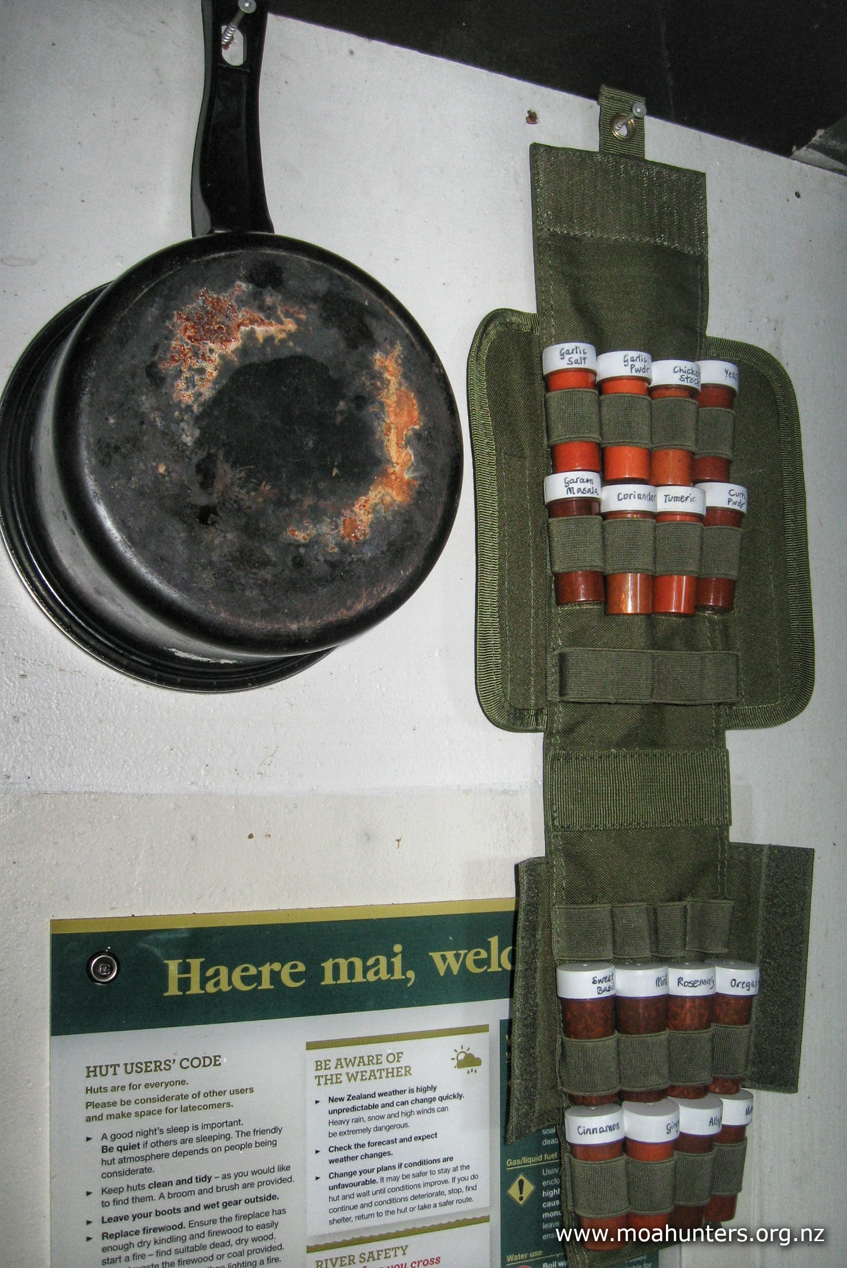
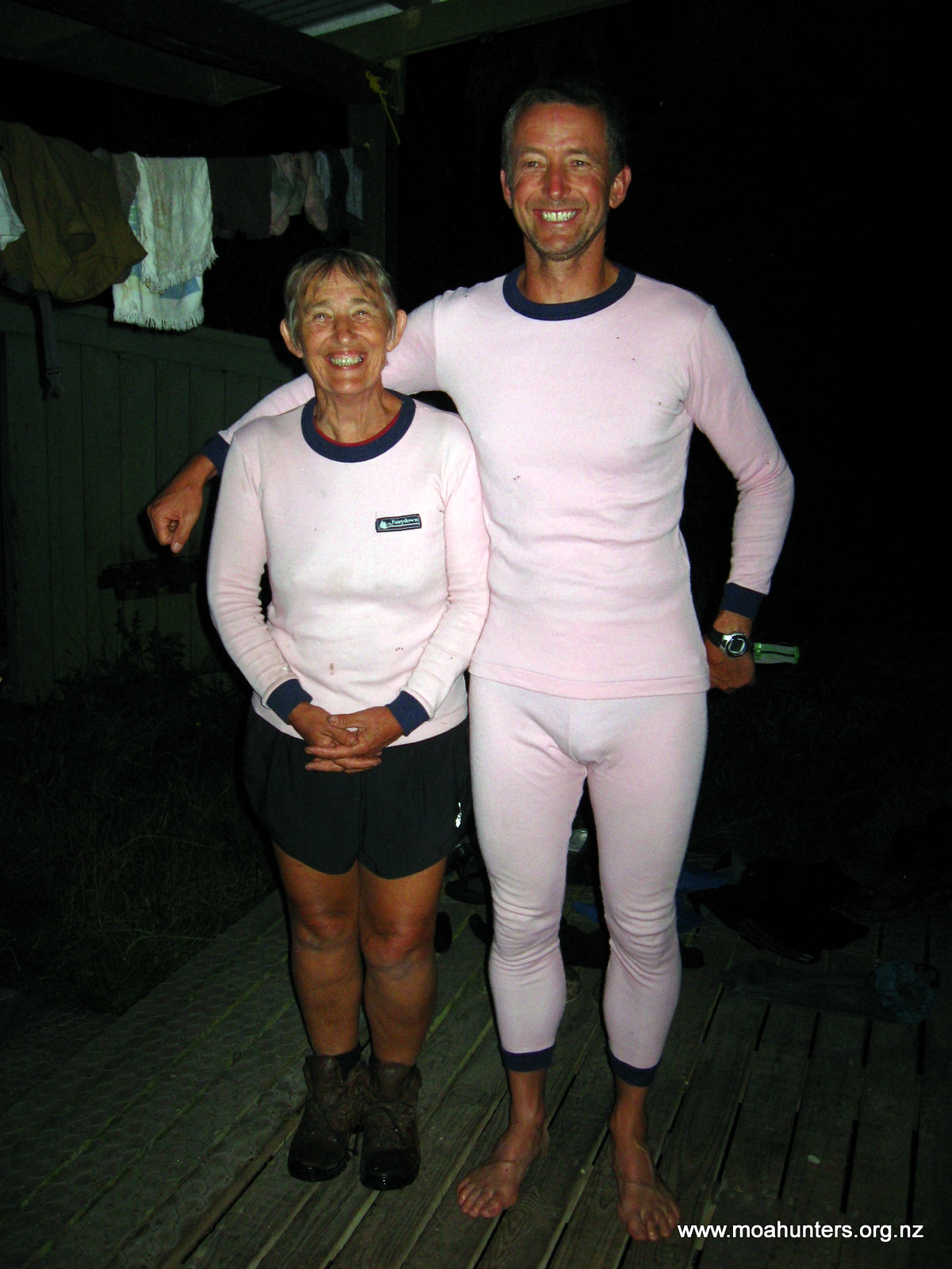
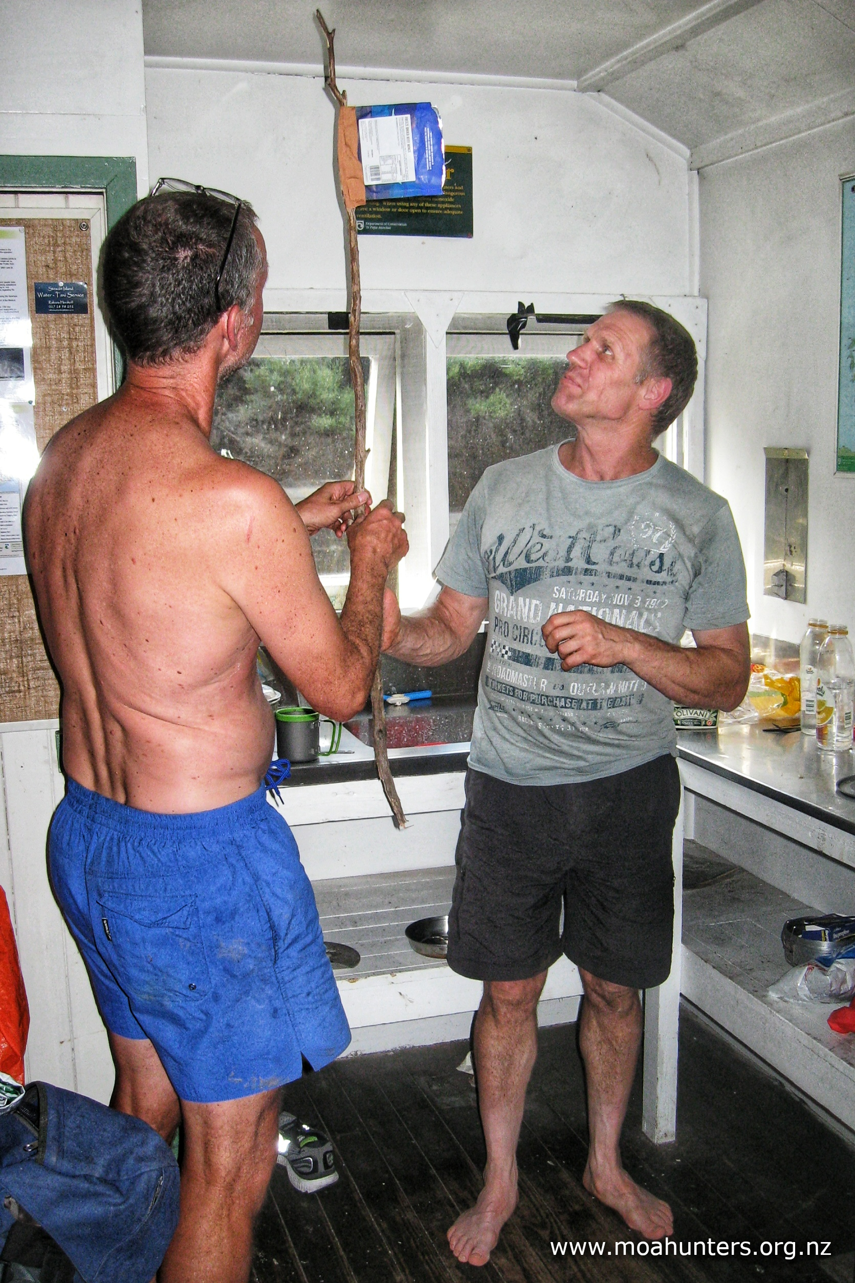
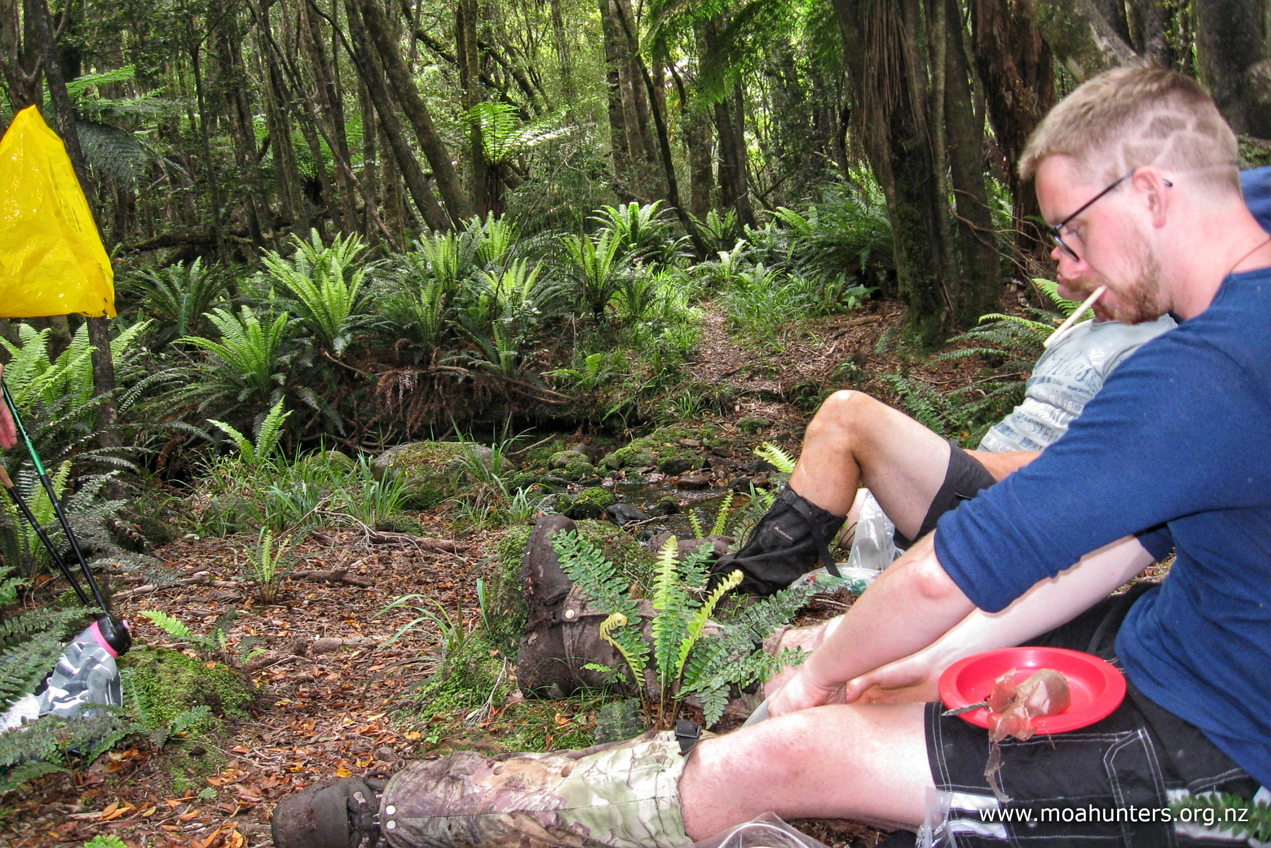
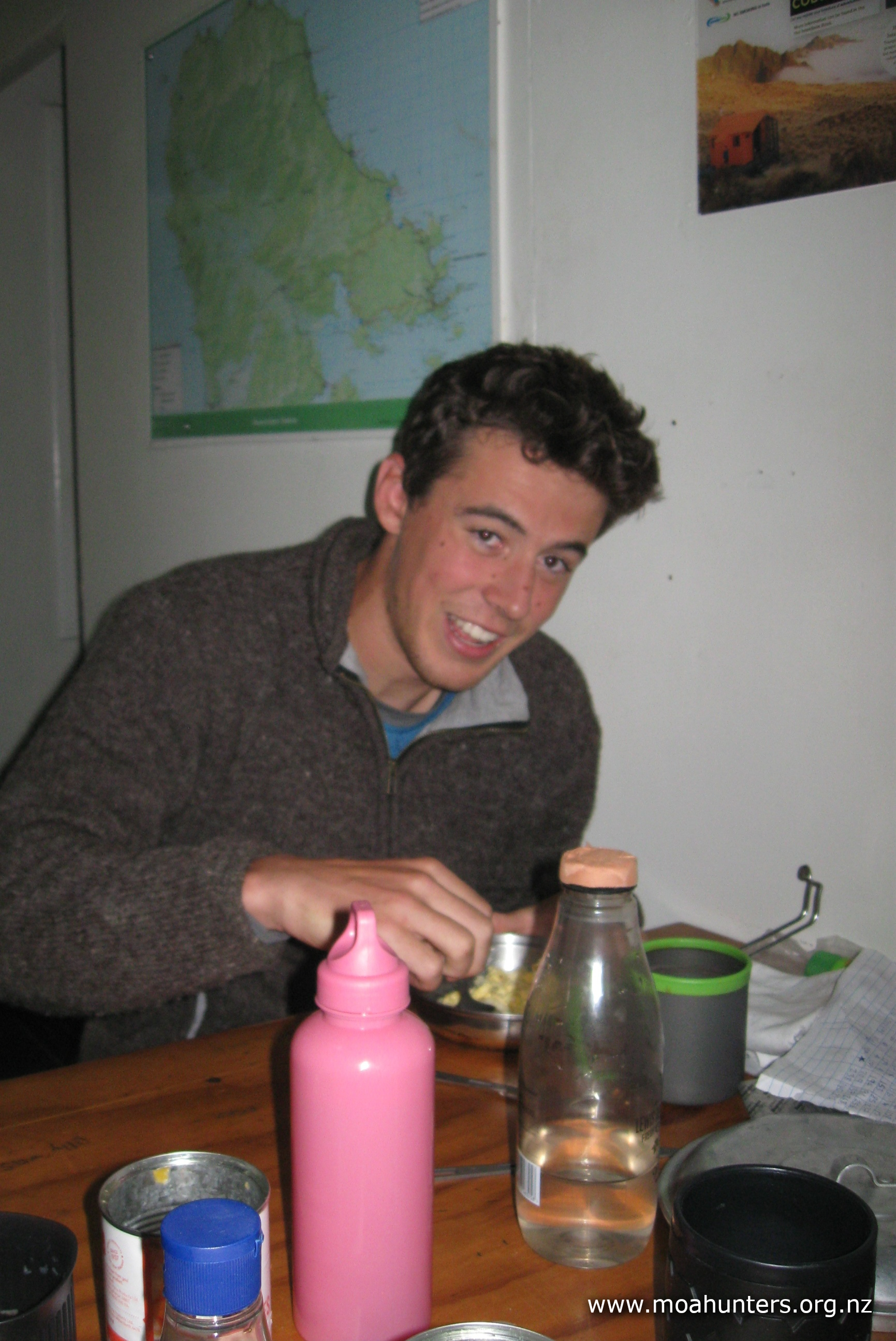
It was at dinner time that Chris unveiled his new tramping innovation – a hunting ammo pouch converted into a spice rack. No tramping trip should be without one – brilliant!
After downing our mashed spud and marinated steak, we joined the hunters for a spot of fishing off the jetty. It seems the only fish in the area are aggressive little wrasse that are adept at removing bait from hooks. We caught a couple, but mainly fattened the rest of the greedy population with free feeds of bait. All good fun.

Day 2
SUNDay 16th January – Fred’s Camp hut to Rakeahua hut
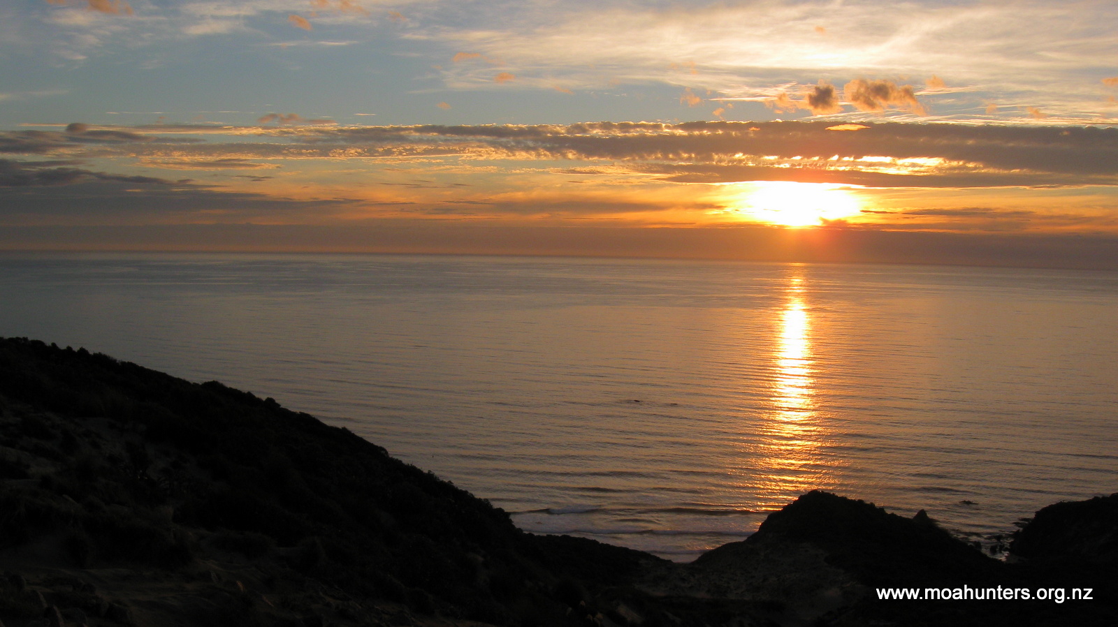
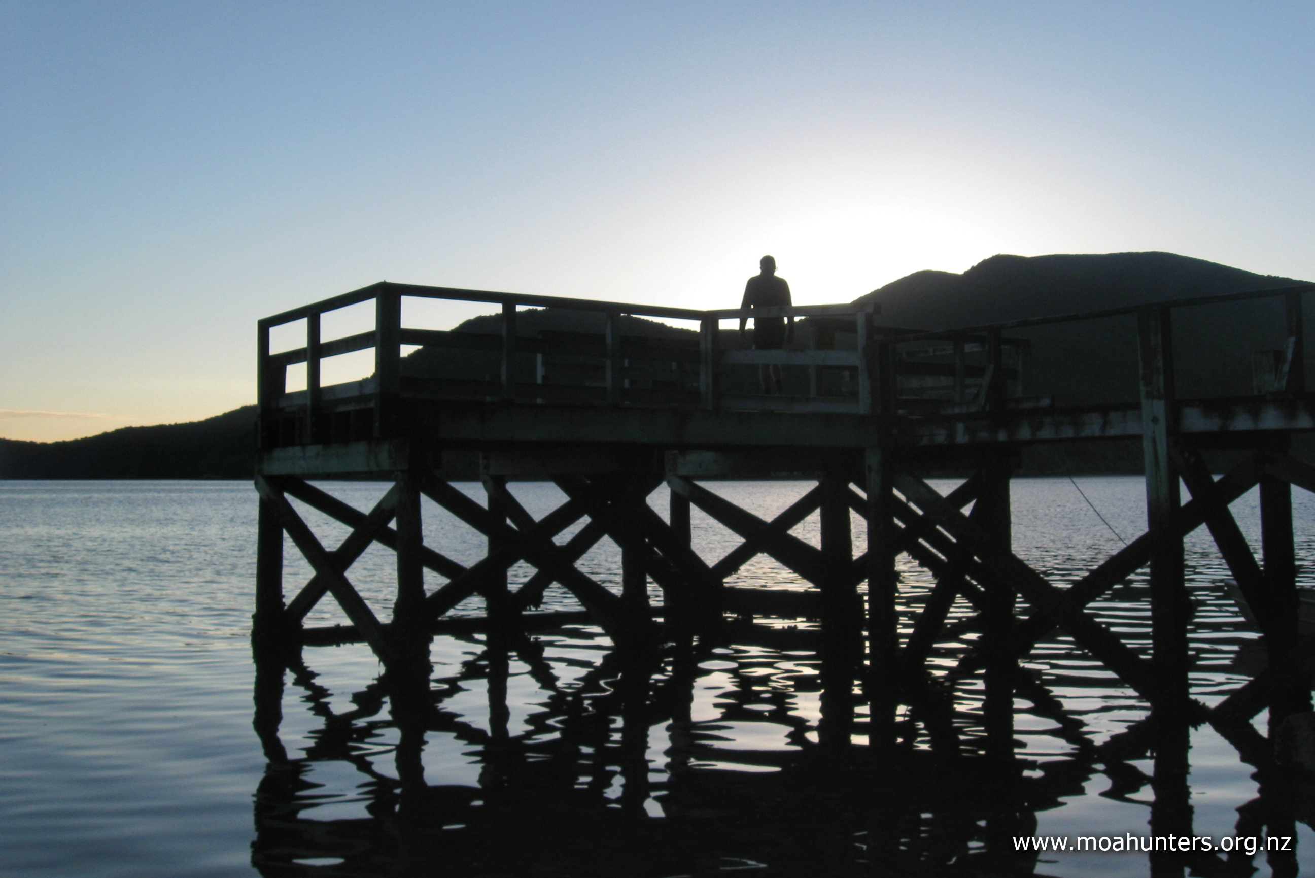
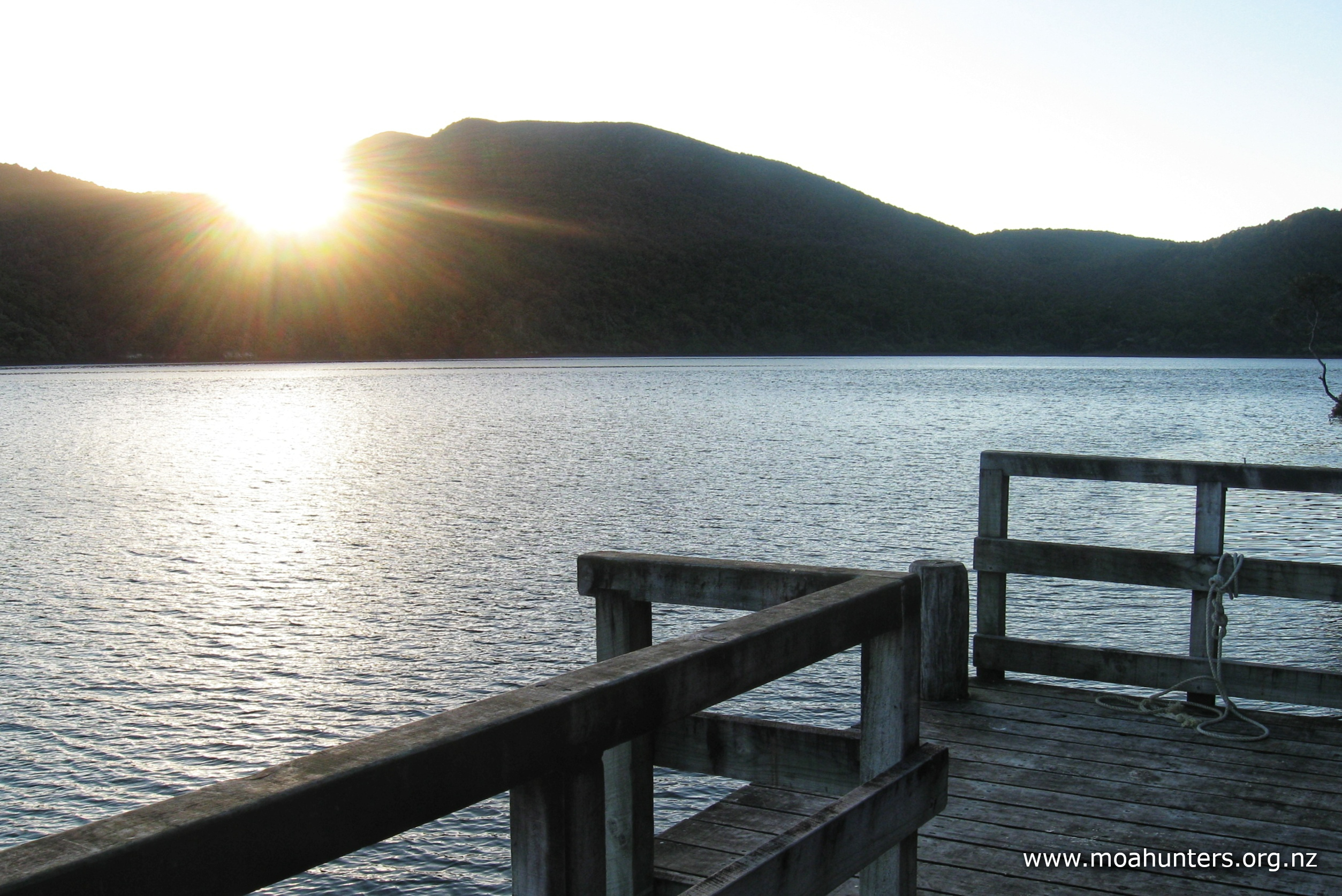
Despite having a fairly leisurely day ahead with no significant climbs, we were all up fairly bright and early. The sky was clear and the air cool. Looking down from the hut, the jetty was just a silhouette against the sea and brightening sky. A few of us wandered down to savour the start of the day. It was a lovely moment watching the first sunrays of the day flash out across the water as the sun peeked over the bush-clad hill to our east. A light breeze stirred, being generated almost immediately by the sun’s power as it began to warm the bay.
The sandflies were particularly active at sunrise – a constant annoyance on the jetty. However, as the morning warmed, they thinned out and skulked off back into the cooler bush.
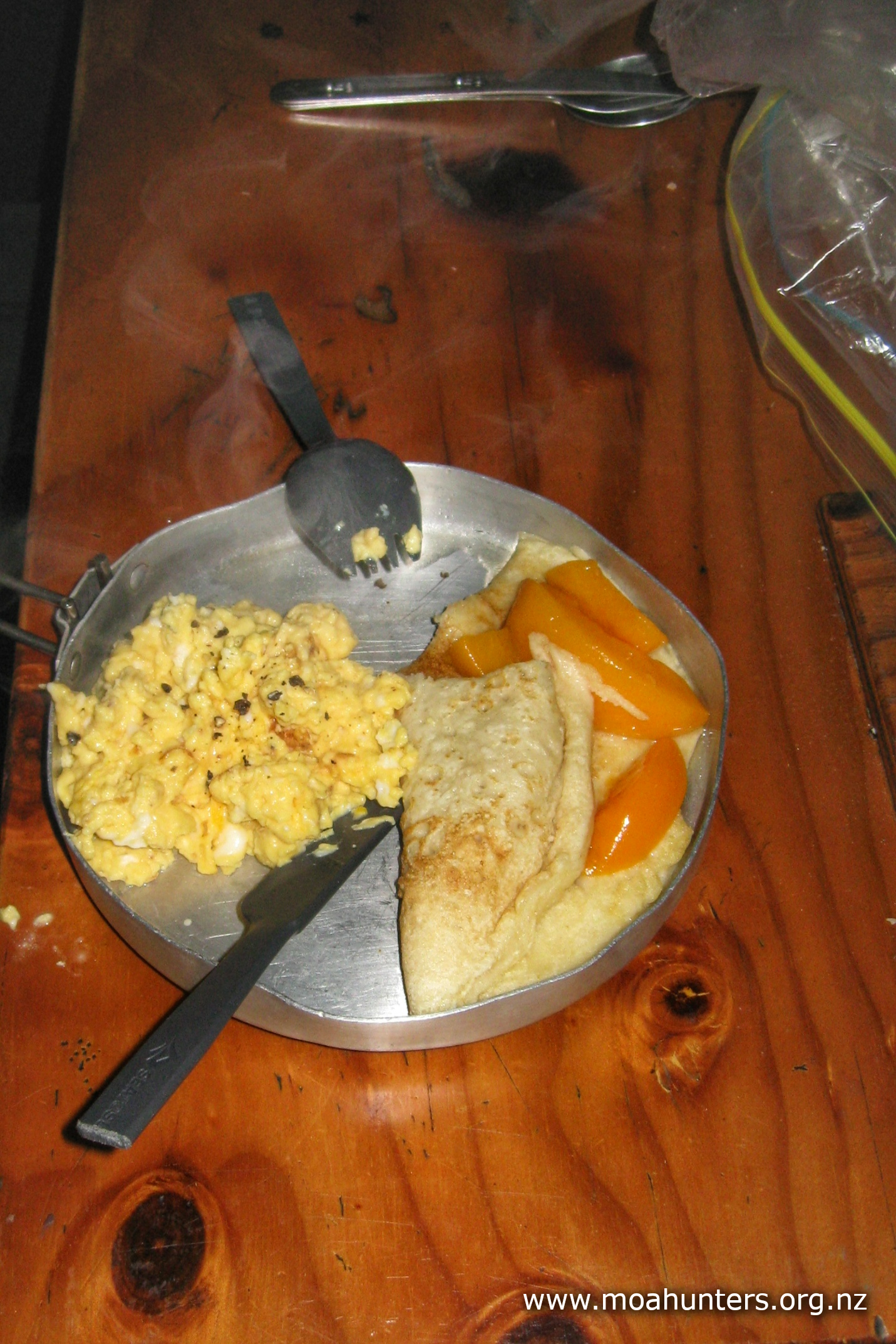
Our breakfast was an elaborate and massively over-catered affair. Bacon, black pudding, eggs, mushrooms, tomatoes and hash browns were all on the menu. It was all too much food, and Paul was definitely over cooking it! We left the hash browns for the three hunters, and opted to carry the mushrooms and tomato on to the next hut.
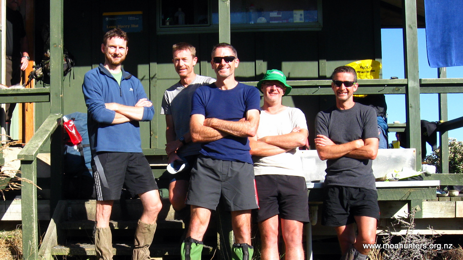
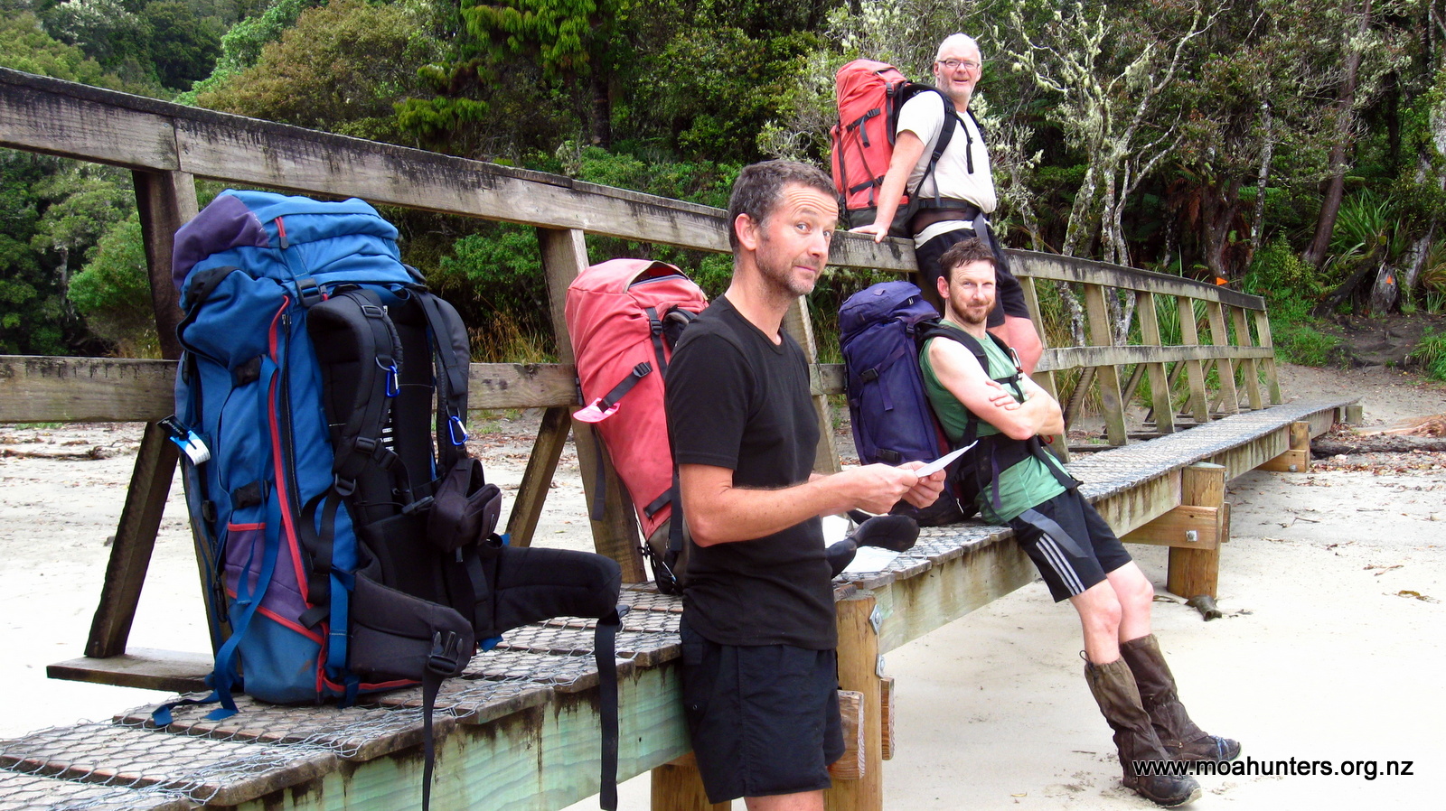
By 9:30am our dishes were washed and gear had been jammed back into very full packs. We were ready to hit the track to Rakeahua. Allan, Alan and Leathen cheerfully accepted their roles as official Moa Hunter photographers and snapped some photos of us outside the hut.

We said our goodbyes to the friendly hunter trio and filed off down the track towards Rakeahua.
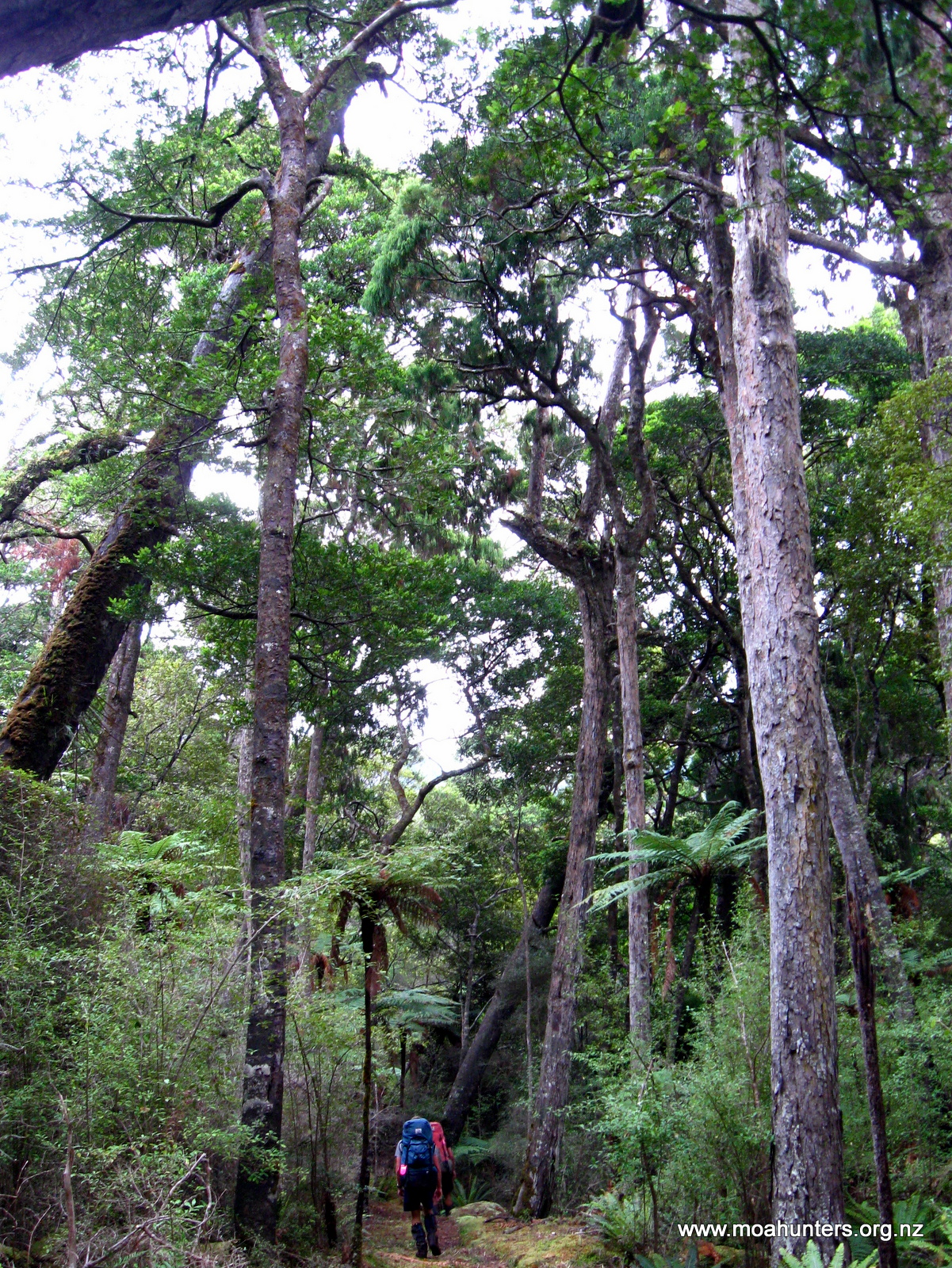
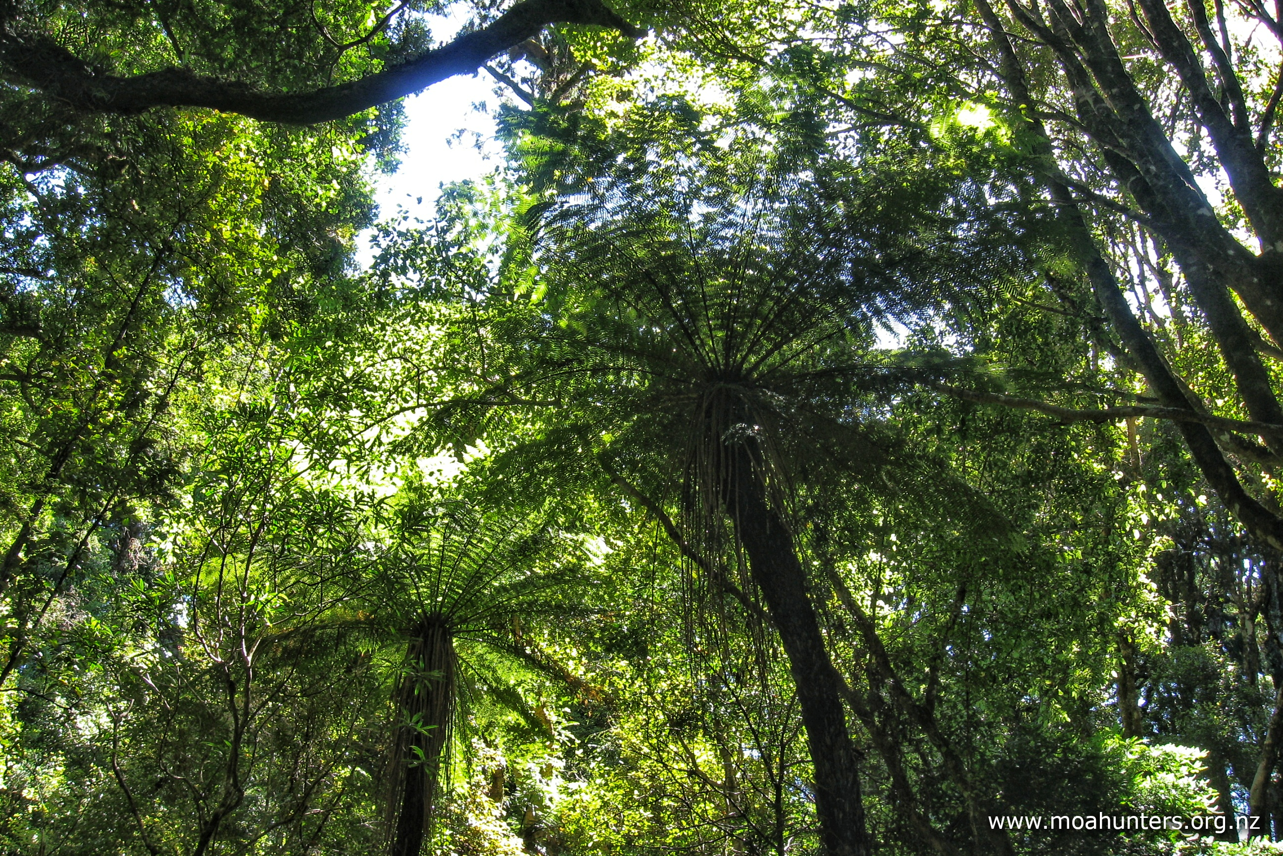
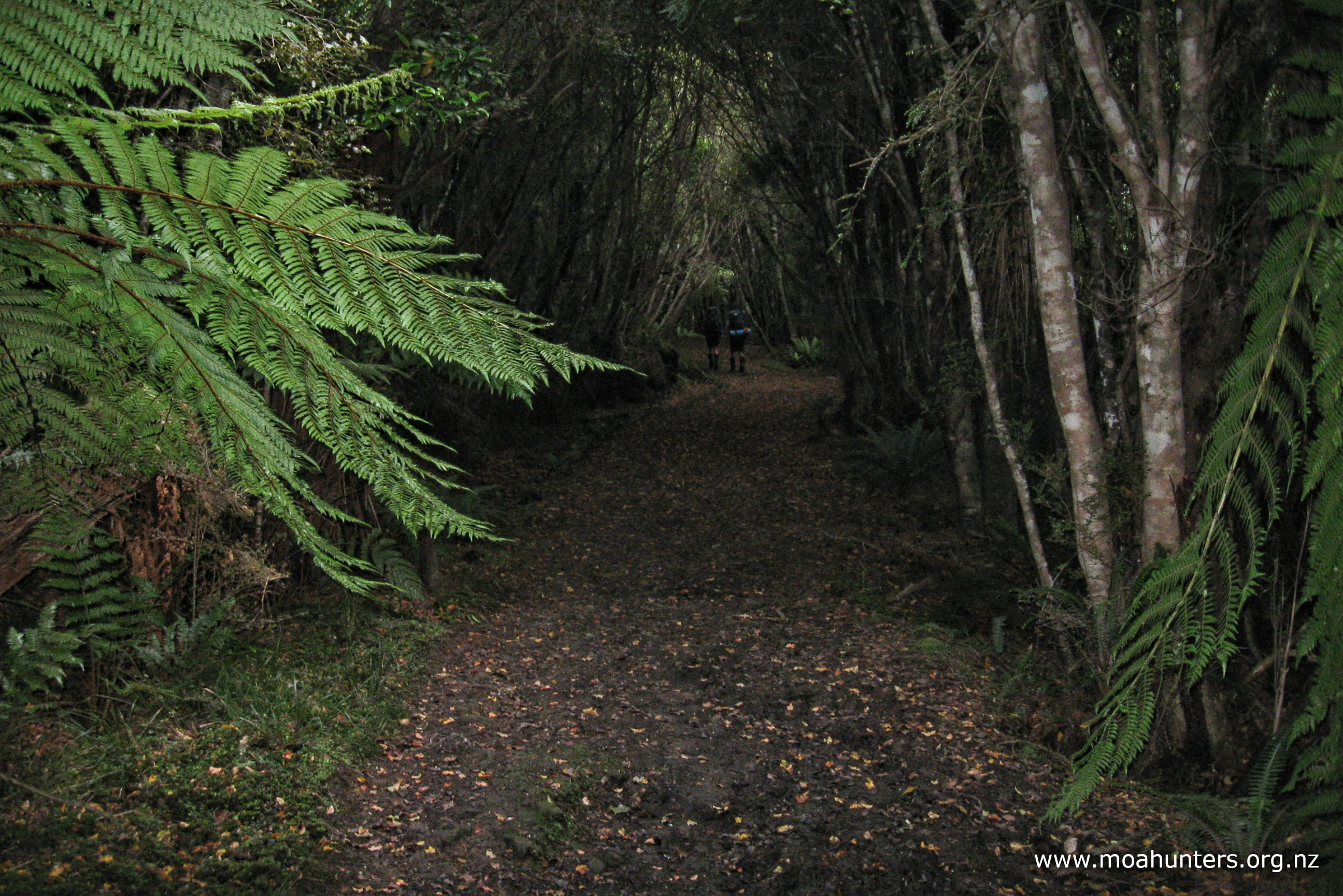
It felt good to be out in the bush on Rakiura again. Somehow the place feels like an old friend, with lots of fond memories for those who were here back in 2015 doing the Northwest Circuit. Walking under the tall rimu and the other mighty podocarps, knowing there may be busy kiwi fossicking among the ferns just metres away is a special feeling. One that you don’t experience anywhere else in New Zealand.
It didn’t take long for us to break into a sweat on the track. The sun was shining brightly through the canopy above. With not a whisper of wind, the air around us felt hot and close, leaving us wishing for a cool breeze. We drank plenty of water whenever we could.

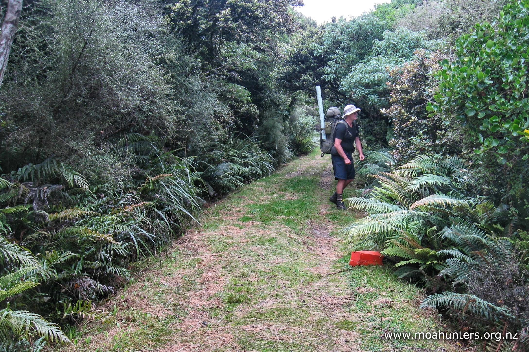
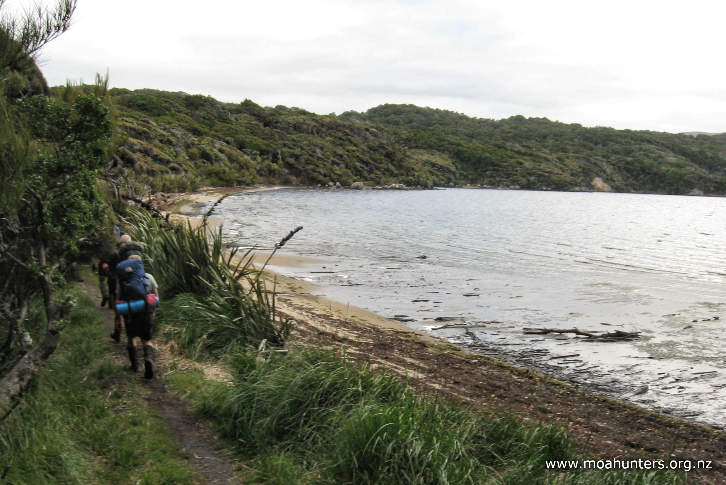
The track follows the coast for the most part, offering regular glimpses of southwest arm through the thick bush, before ducking into another tight gully. We encountered nothing too tricky, but with heavy packs in hot conditions, the walk felt more tiring than it should have. On the bright side, an advantage of the recent dry weather was less mud and less slipping and sliding.
At our morning scroggin stop, Paul managed to find a particularly pungent and nasty turd to sit on. Whatever the animal that deposited it there, it did not look good, and most definitely did not smell good. Adding to his woes, Paul’s so-called Moa Hunter friends were rolling about laughing and making generally unhelpful suggestions. It would be fair to say Paul was in no danger of drowning in their sympathy!
The track frequently ran close to the coast, and we briefly wondered whether walking the beach would be faster and easier. The tide was out and it seemed like a possibility. We decided not to bother. As they say, the grass always looks greener on the other side, and the track we were travelling wasn’t bad.
As we walked, we kept an eye on the how distant the far side of southwest arm seemed. Knowing the arm narrows steadily as the track gets closer to the Rakeahua river, we used this as a bit of a gauge for where we were.
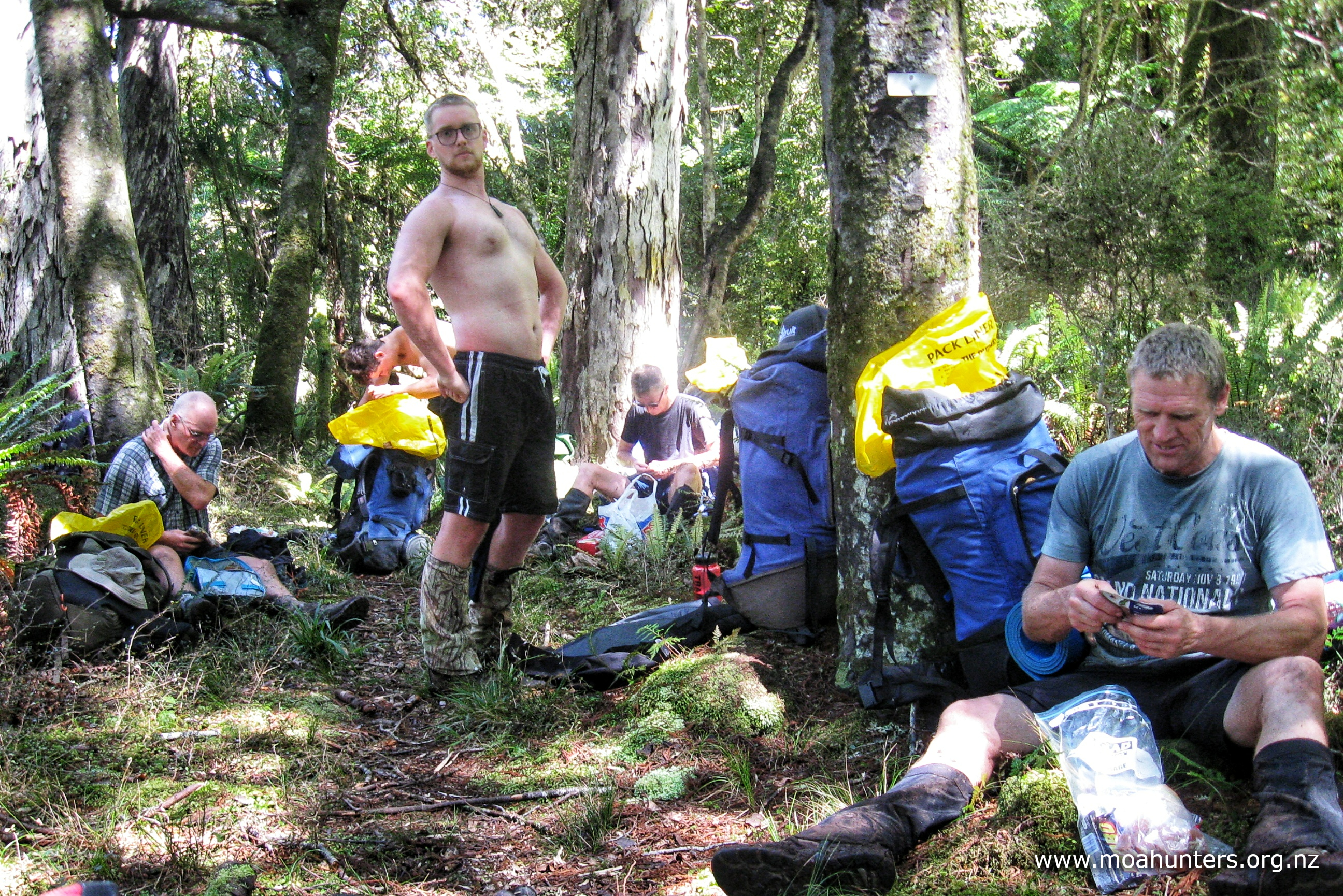
We stopped for a long languid lunch not long after 12:30pm. It was very pleasant nestled down amongst the ferns, transferring some weight from our packs to our stomachs. With no reason to rush, we settled in for a very enjoyable hour of chatting and snoozing in the afternoon heat.

Beyond our lunch stop the track continued much the same as it had prior, winding its way through beautiful podocarp forest.
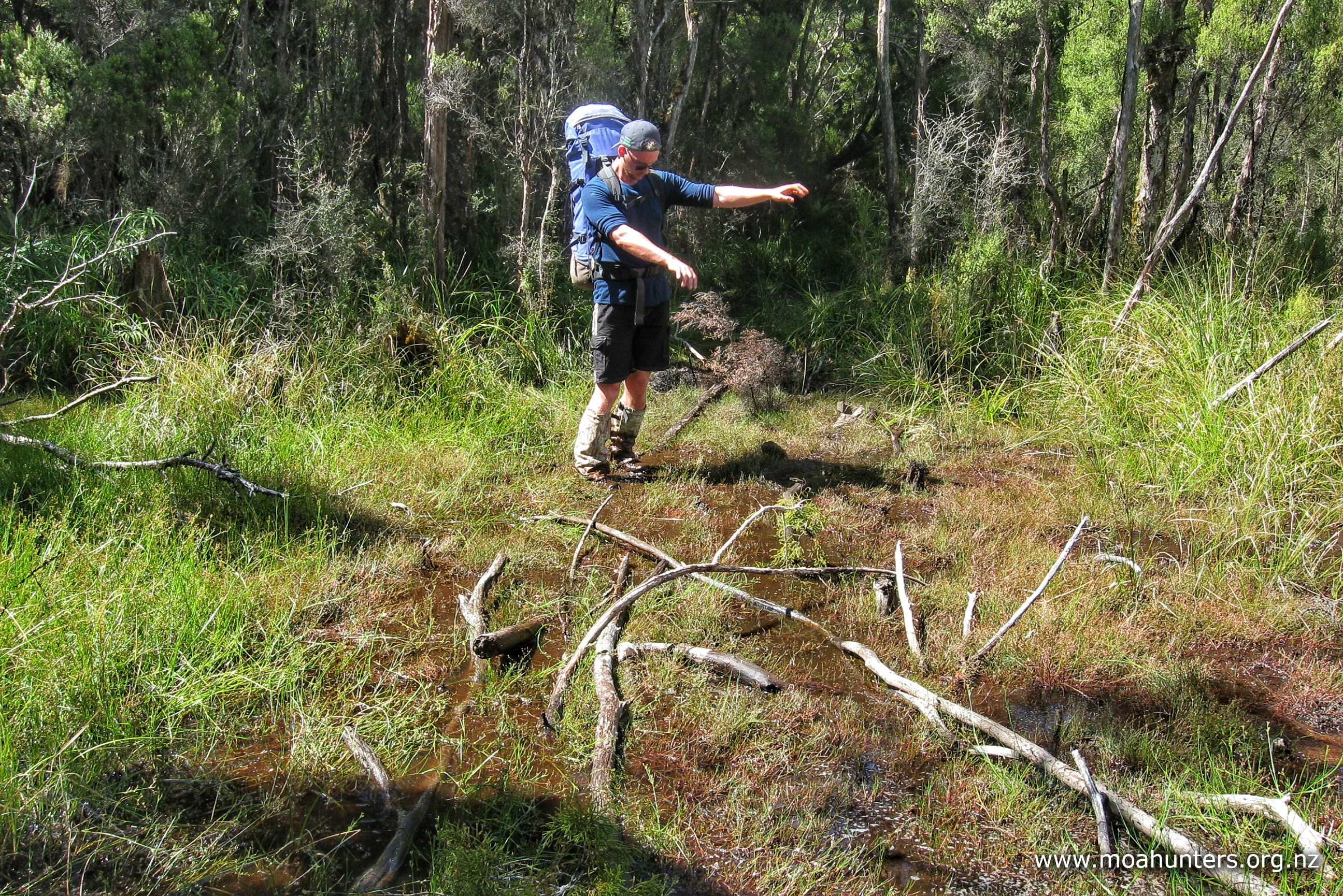
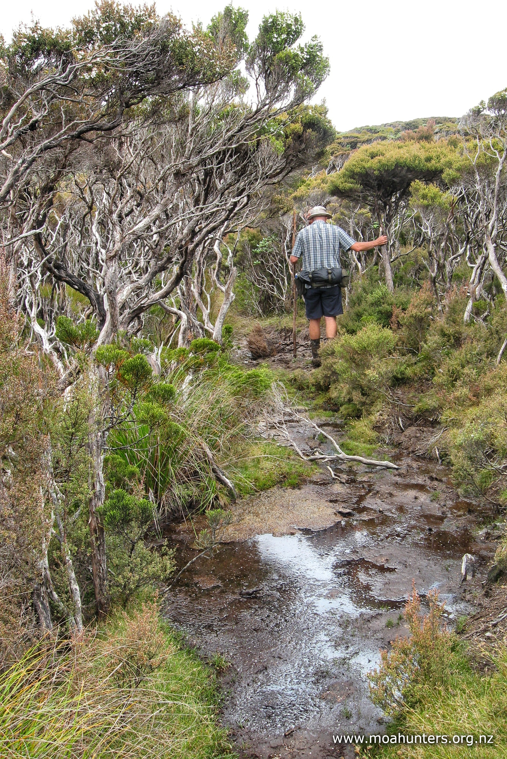
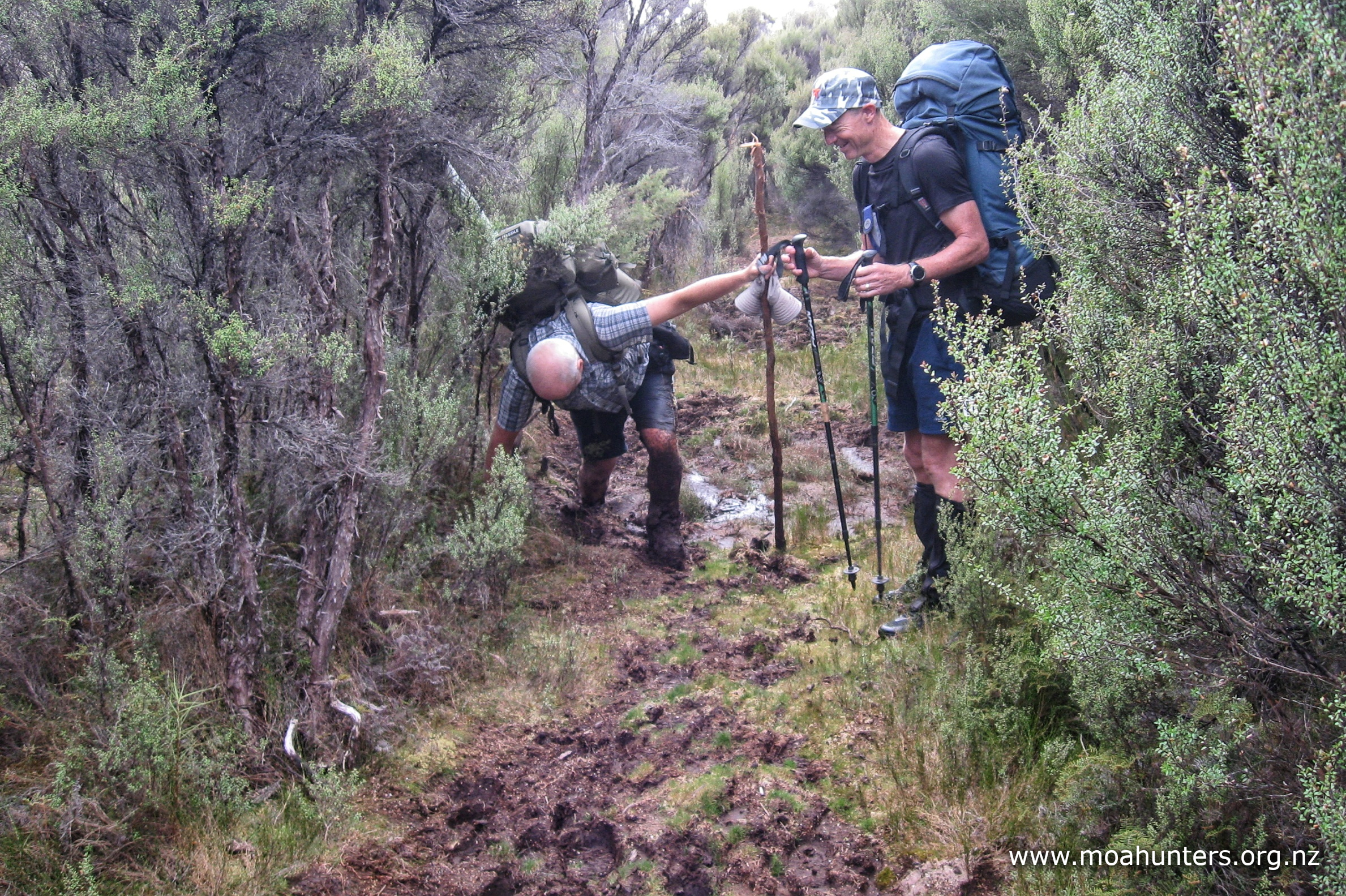
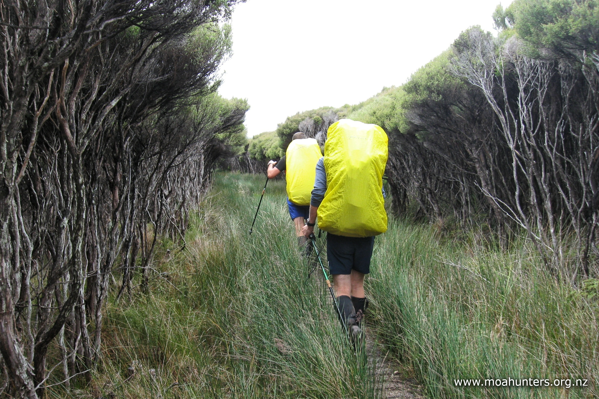
It wasn’t until after our mid-afternoon scroggin stop that track conditions began to change. We had reached the flats near the Rakeahua river mouth and underfoot was getting a lot more boggy. Areas of mud and swamp with helpful branches thrown down on them by other trampers became common. The last third of our day was spent on alternating flat easy sections and messy boglands.
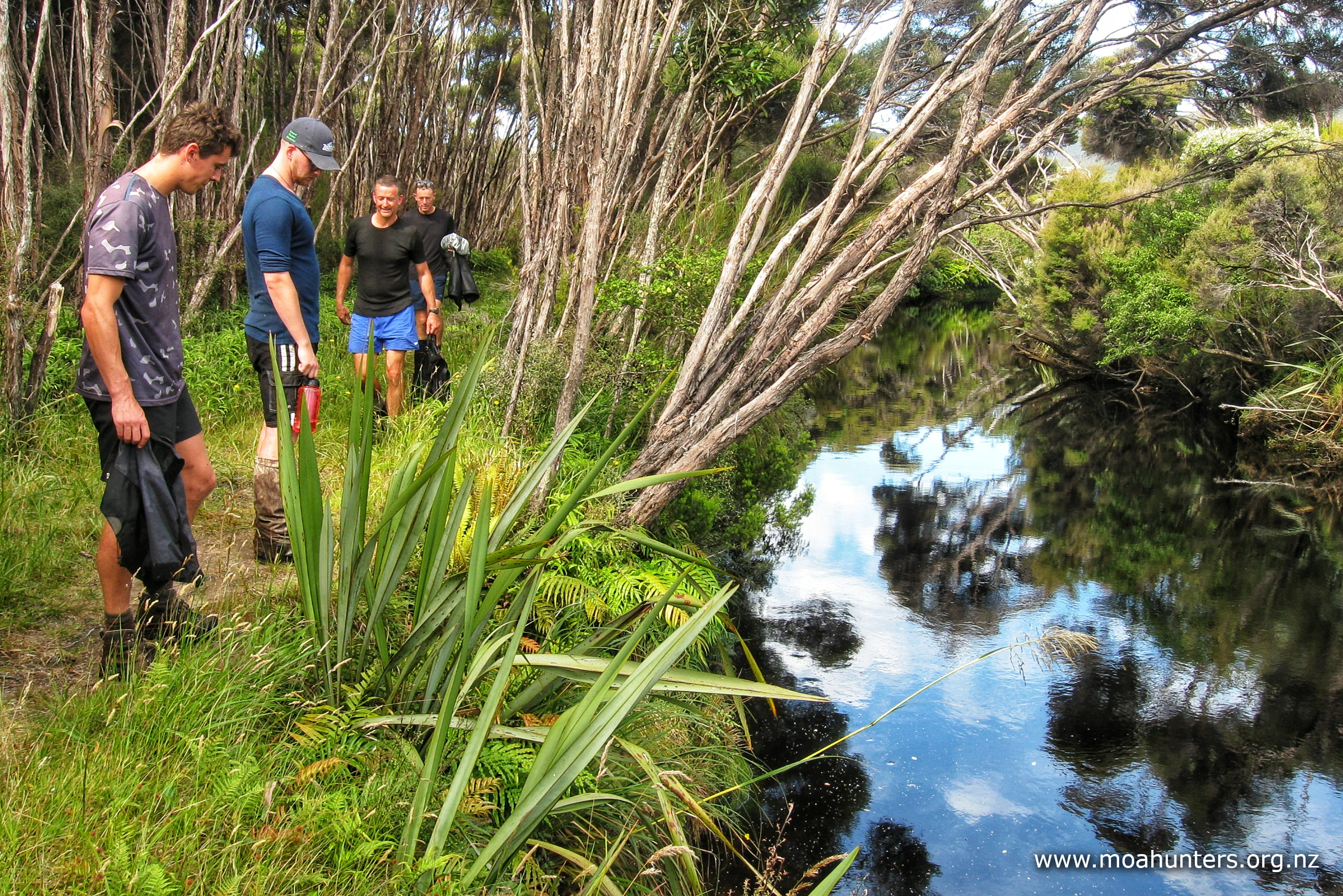
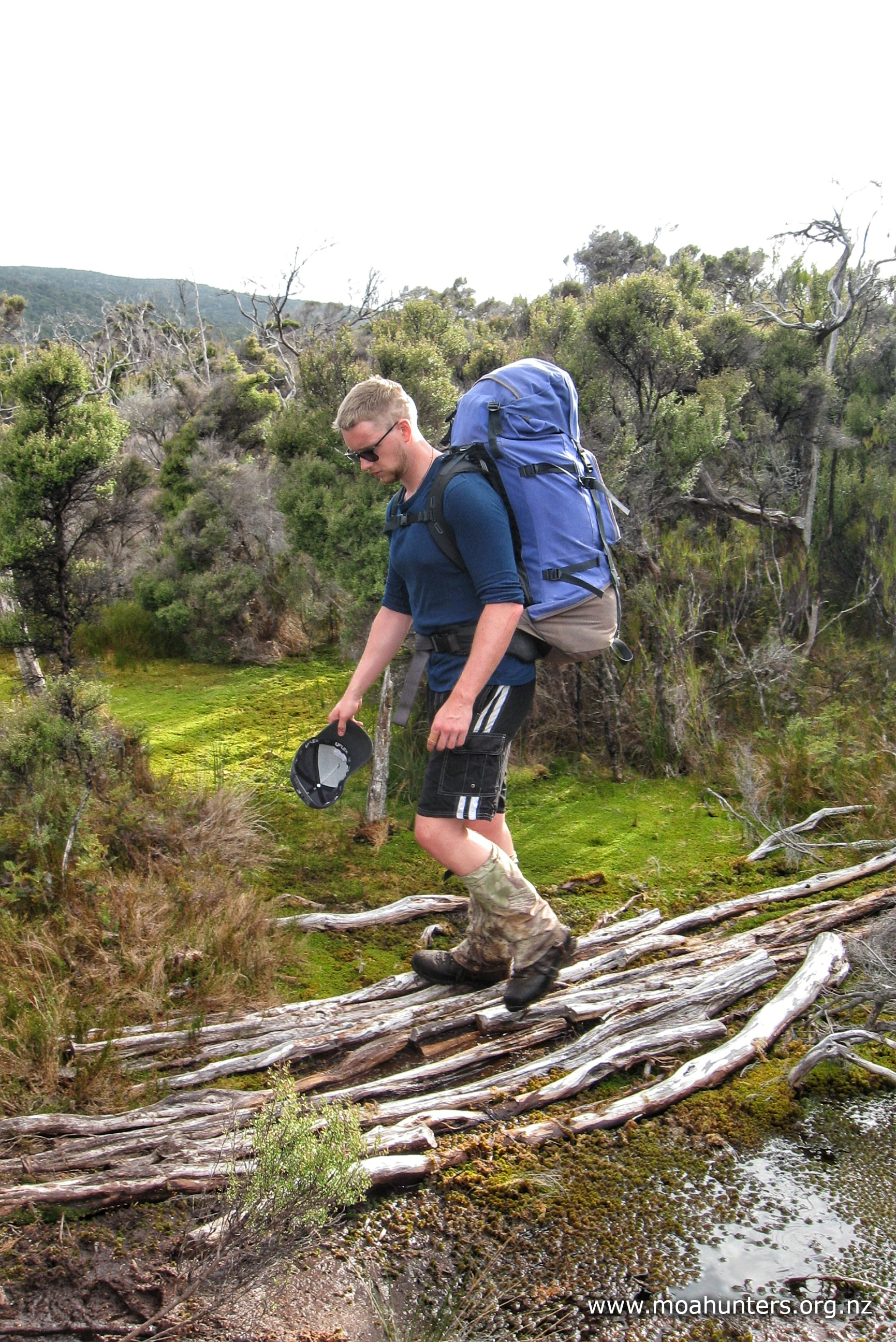
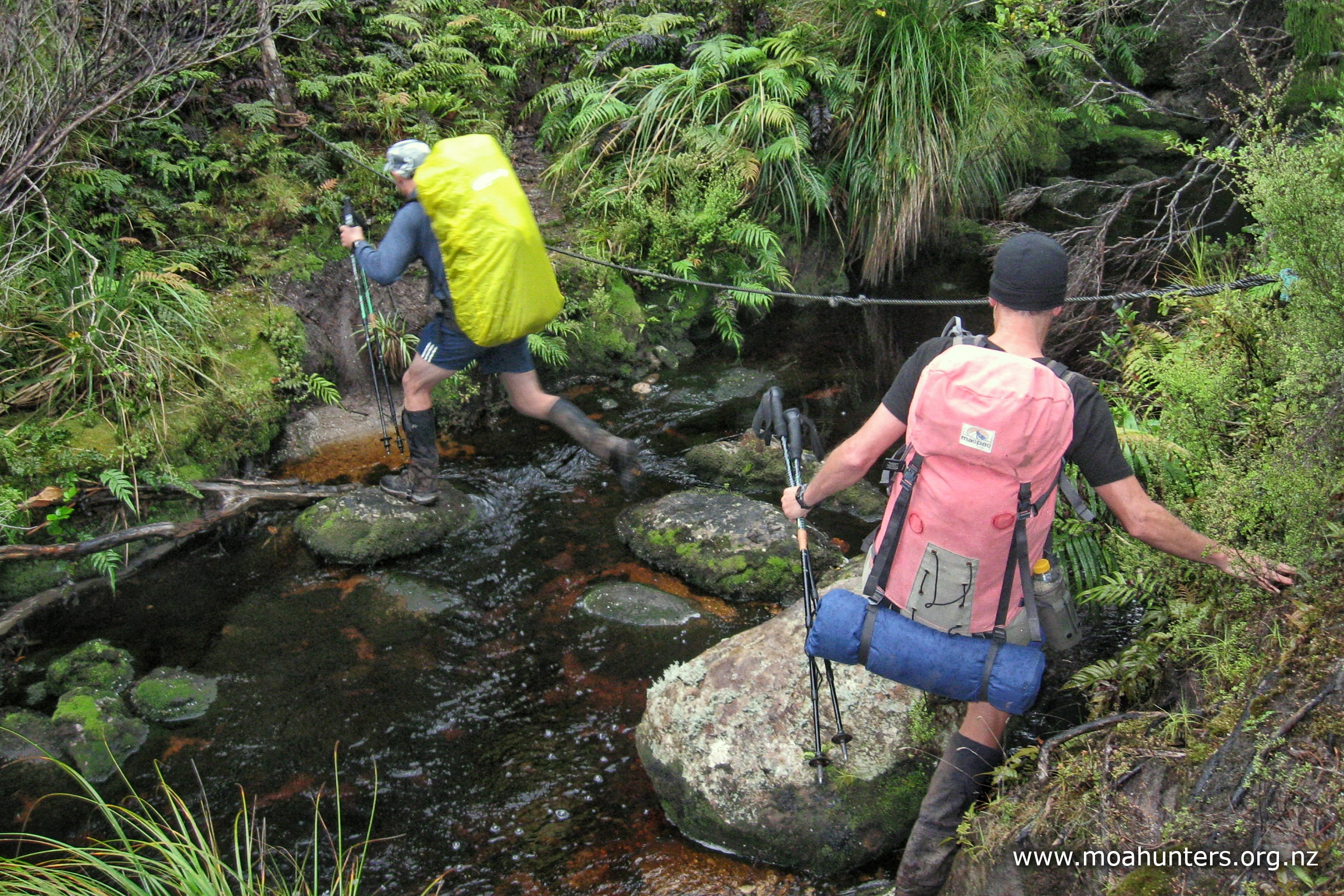
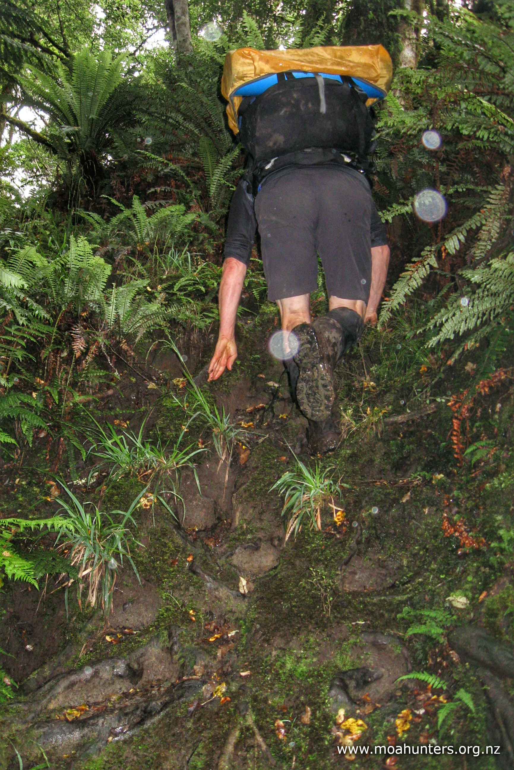
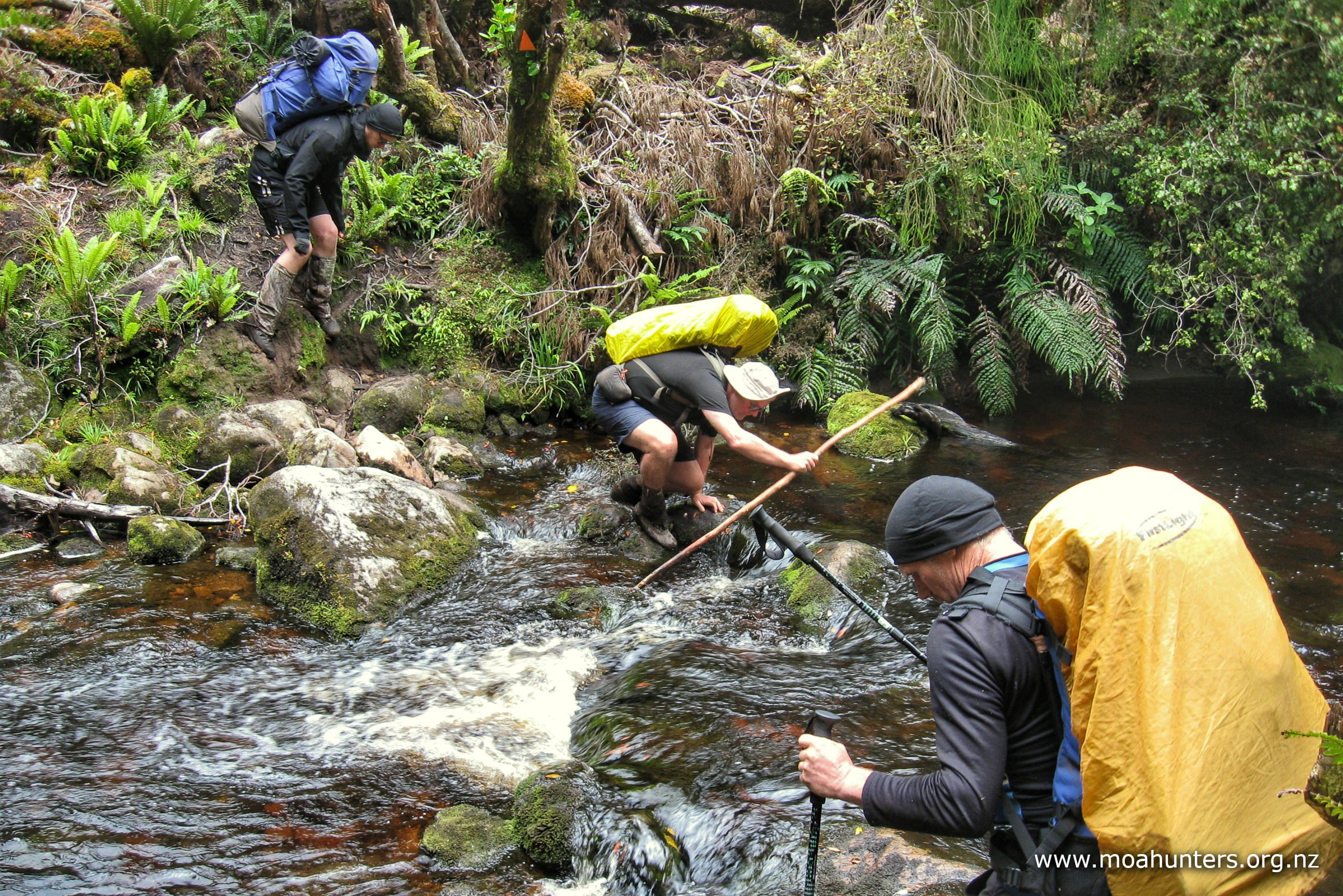
We were able to pick our way around some patches. Others required good balance and a bit of luck. We all misplaced a foot at some stage, ending up in deep mud swamp water or gloop. It’s all part of the Rakiura experience and we enjoyed the challenge.
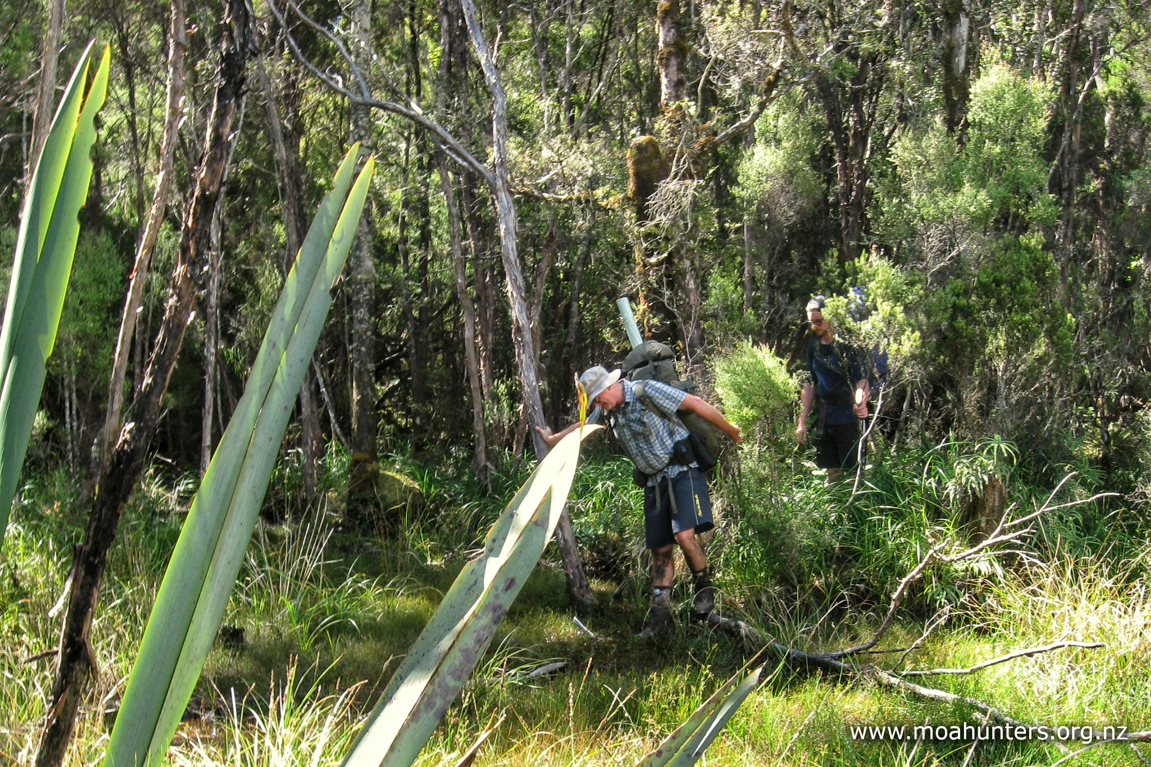
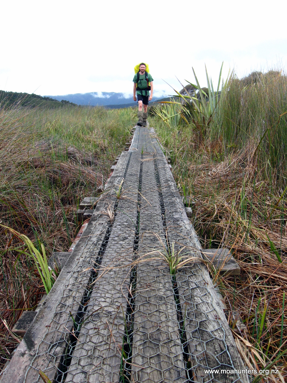
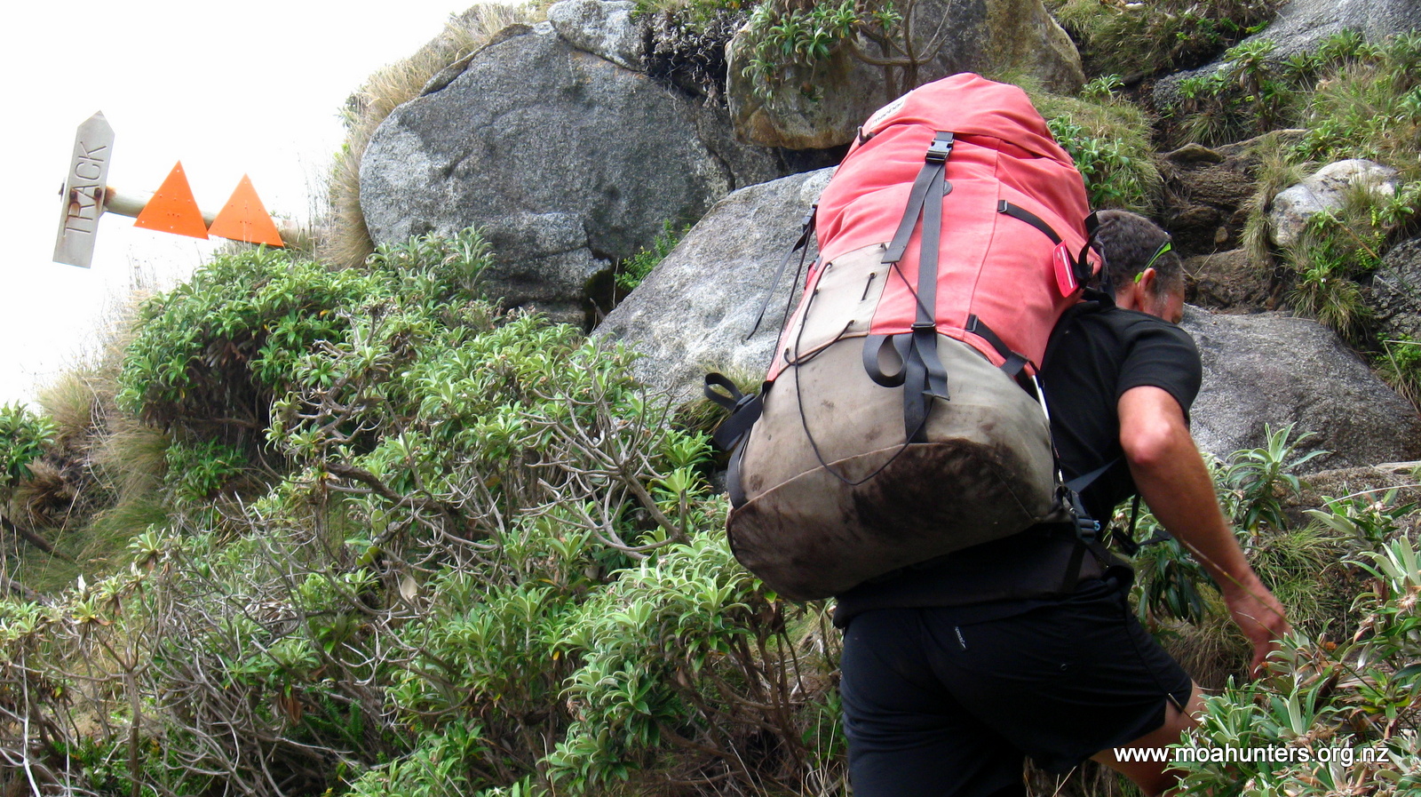
The “walk of faith” was a particularly awesome swamp crossing. A rare section of boardwalk, now totally submerged in muddy water has been marked by trampers with manuka poles on either side. The only option here is to walk between the poles with butt cheeks clenched tight, trusting the marked path, and hoping you don’t step off the side and go for a swim!
At one point Adam partially lost his balance, leaning out on his walking pole to regain himself. The pole was no help at all. It disappeared straight down into the swamp until he was up to his wrist in gloop. The pole had been completely swallowed into the depths of the swamp, with Adam still clutching it. He somehow recovered the situation without going in headfirst, but that experience let us all know just how deep the Rakiura bogs can get…
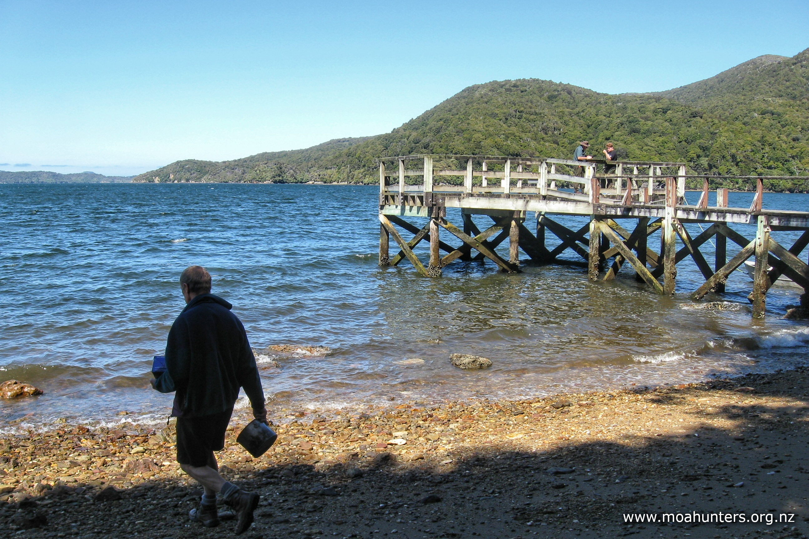
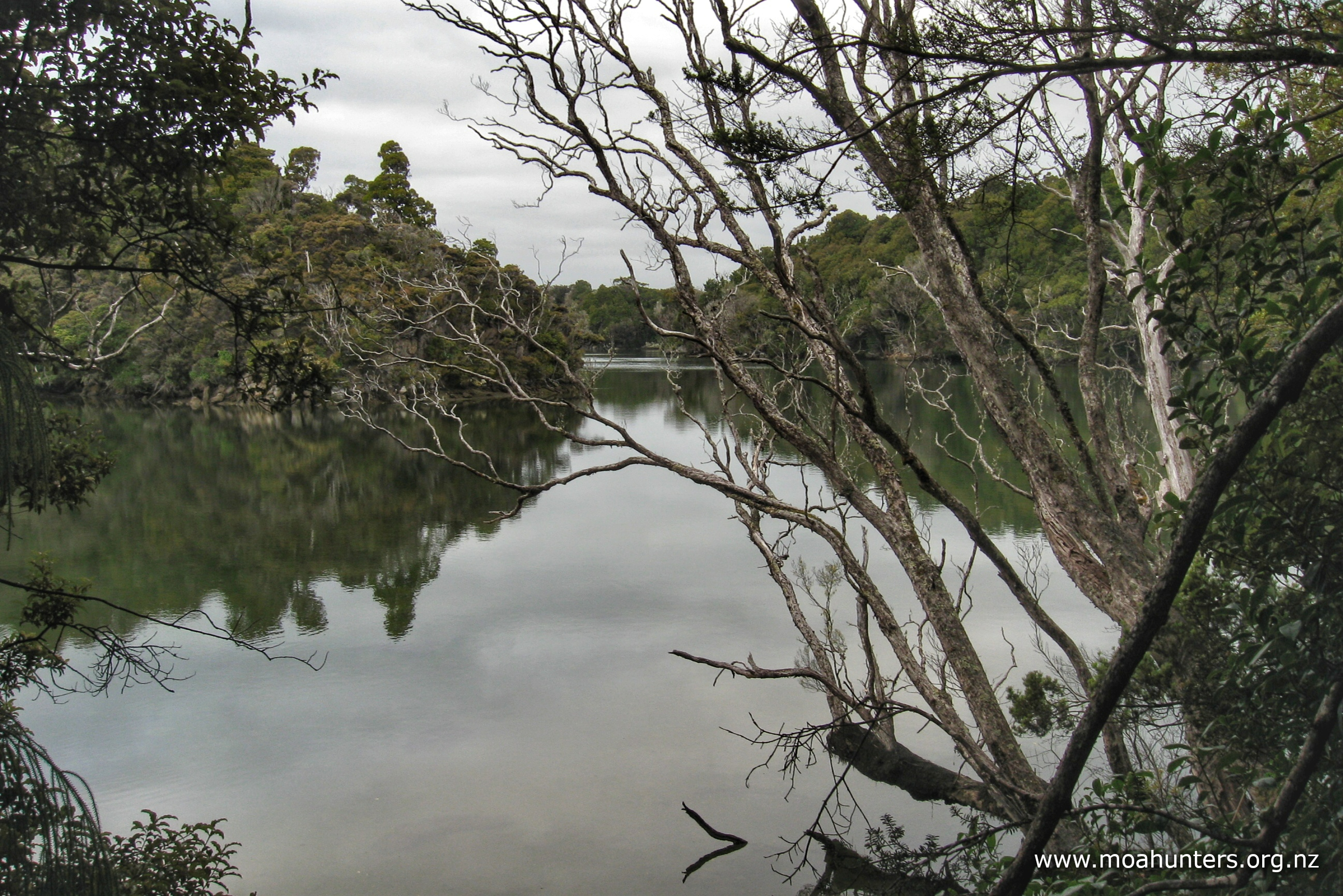
We arrived at Rakeahua hut just after 5:00pm. It had been a good day on the track. We dropped our packs and went for a quick nosey down a short track to see “The Landing” – a spot that water taxis occasionally motor up to on the river.
The hut is snugged in beside a stand of large mature macrocarpa trees. They are impressive, but somewhat out of place amongst the native bush.
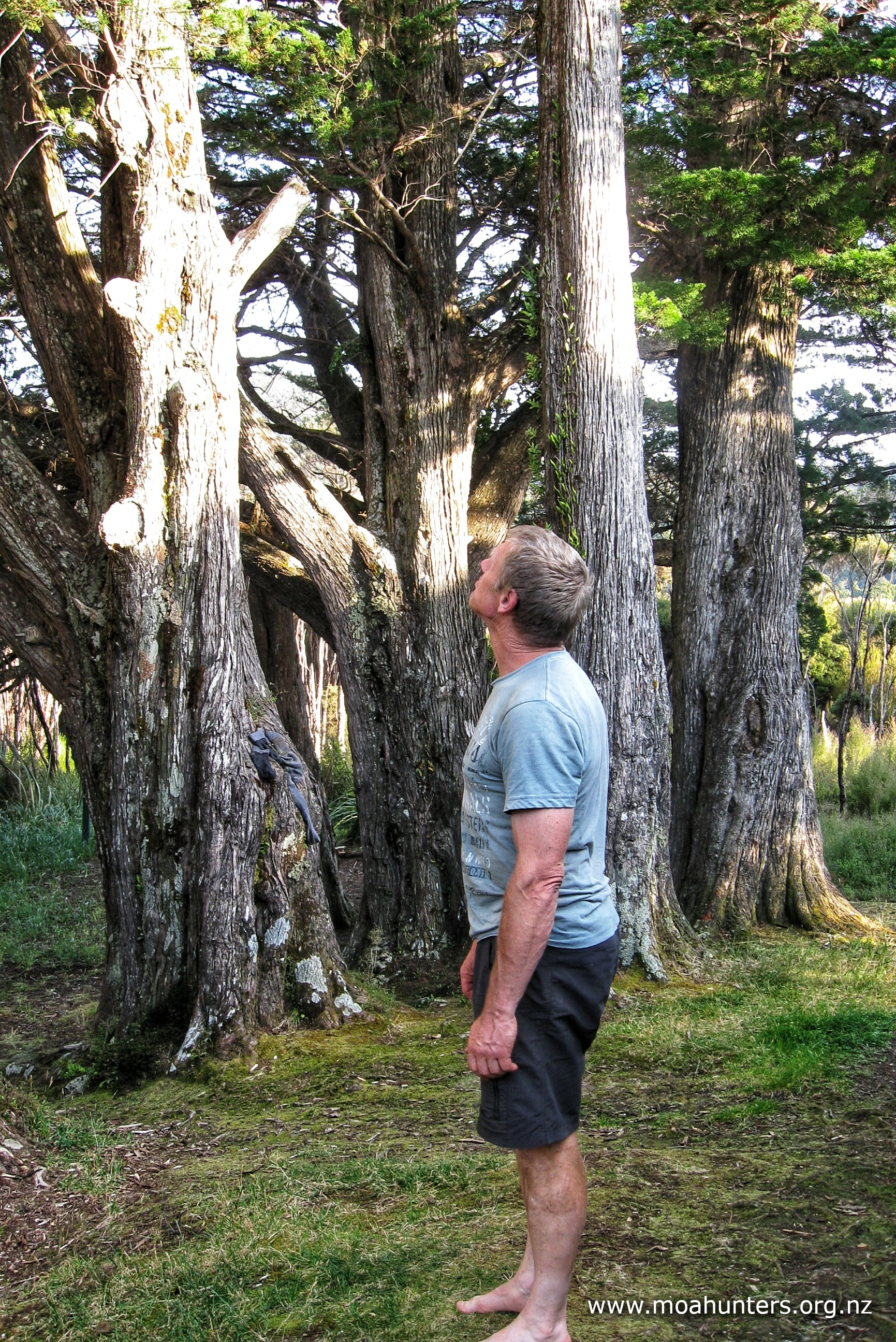
We wondered if they are relics of one of the many failed farming attempts that happened around the island. Rakiura soil is quite acidic and wet, making it generally unsuitable for pasture or crop farming.
Another notable feature of the hut is a large and overly-friendly bumblebee population. Inside and outside the hut, they made a nuisance of themselves buzzing round our faces and clothes. Given they are not aggressive by nature, we weren’t overly concerned by this behaviour. It was just irritating to be continually pestered by them.
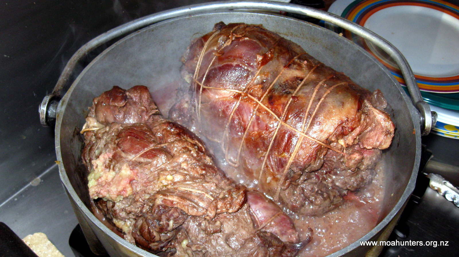
Dinner was a delicious Moa Hunter curry which we all wolfed down. Our colossal breakfast was now a distant memory as we downed an equally colossal meal, followed by ambrosia for dessert.
After dessert, John was heard swearing to himself. It seemed he had left his headlight hanging on a nail above his bunk back at Fred’s camp hut. Shortly after, Adam discovered that he too had left his headlight at the hut, plus a small hut light he’d bought for the trip. And finally, Richard realised he had left his silk liner there too.
What a bunch of plonkers.
We assumed Alan, Allan and Leathen would have found our forgotten items by now. No doubt they would all be wondering how the hell we manage these long trips, when we can’t even keep track of basic gear!
It was at this hut that Luke and Paul presented John with a flag they had made. Before coming to Rakiura, Luke had been pondering just how deep the mud might be, and had decided that our shortest member should have a flag to carry. His thought was that if they dropped into mud over head height, the flag could be waved to show their position! John accepted the flag-bearer honour in very good humour.
That evening, Chris decided to head out again with his hunting longbow. He had brought the weapon on this trip to see if he could get himself a whitetail deer. His previous effort at Fred’s camp on our first night had not been successful. However, he had seen one there, which gave him hope. Unfortunately on this evening, he did not see or hear anything.
As the hut is a classic six bunk model and there were seven of us, Adam slept on air mattresses on the floor.
It was an uncomfortable night for all. Plagued by sandflies and mozzies, finding the right balance of being covered and protected from the little biters, but not overheating, was hard to achieve!
Day 3
MONDay 17th JANUARY – Mt Rakeahua

After a less than average night’s sleep, we were greeted by pleasantly overcast conditions at Rakeahua hut. High cloud providing some respite from the full heat of the sun was ideal for our planned wander up Mt Rakeahua.
Breakfast was coconutty porridge and a round of coffees. Richard had brought along his Aeropress coffee gadget – a wonderful lightweight espresso coffee machine, perfect for trampers who like to start their day with a caffeinated kick in the pants.
We were all feeling relaxed and in good spirits, looking forward to a leisurely day walking without our packs on. We chatted about everything and nothing as we waved away bumblebees and gathered up the food and gear we wanted to take up the maunga.
Just after 9:00am we set out from the hut for Mt Rakeahua. With us we had a couple of light bags containing food, jackets and some warm layers. We agreed to take turns carrying them.
Weaving through low bracken and occasional muddy areas, the track is flat and easy for the first ten minutes or so. It had been so dry on Rakiura this past week that some of the mud had dried out completely.
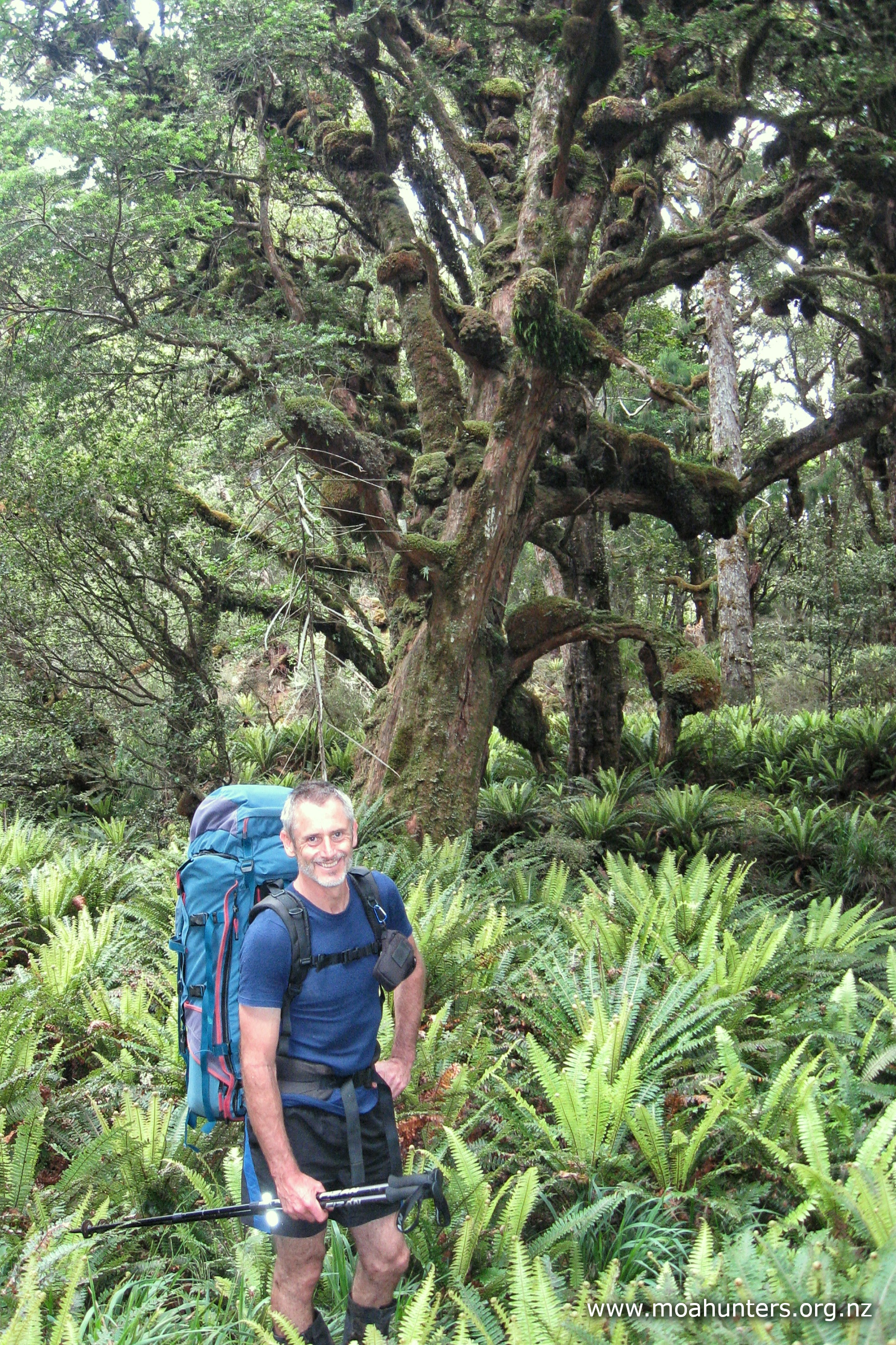
Leaving the flats, the track climbs gently and steadily through beautiful podocarp forest. There were large rimu in all directions, their tall straight trunks conspicuous and grand. Below them, the next generation of spindly saplings were pushing upwards for their chance at a place in the canopy.
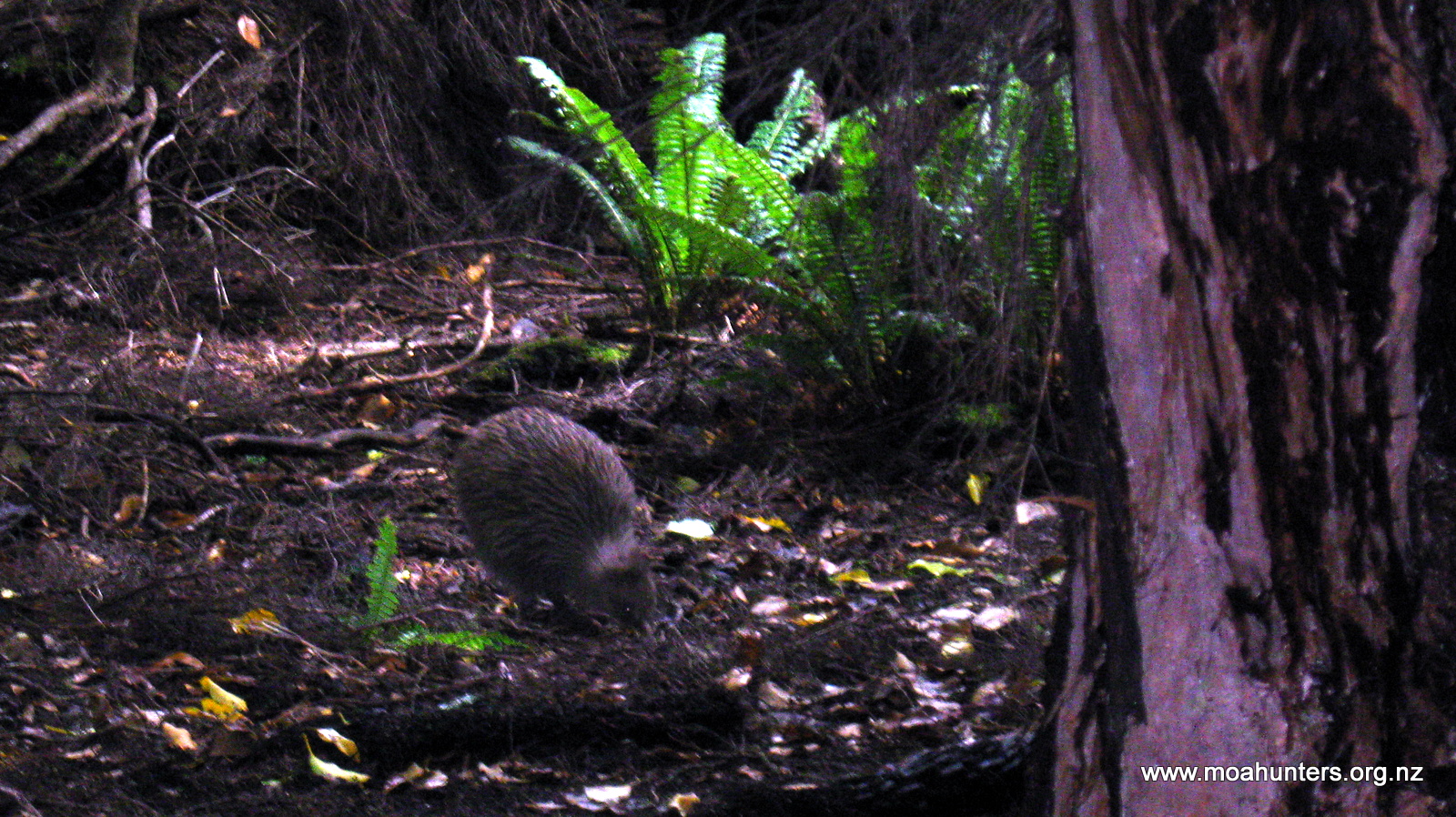
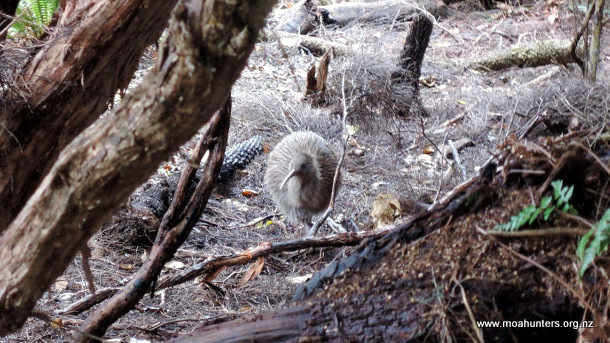
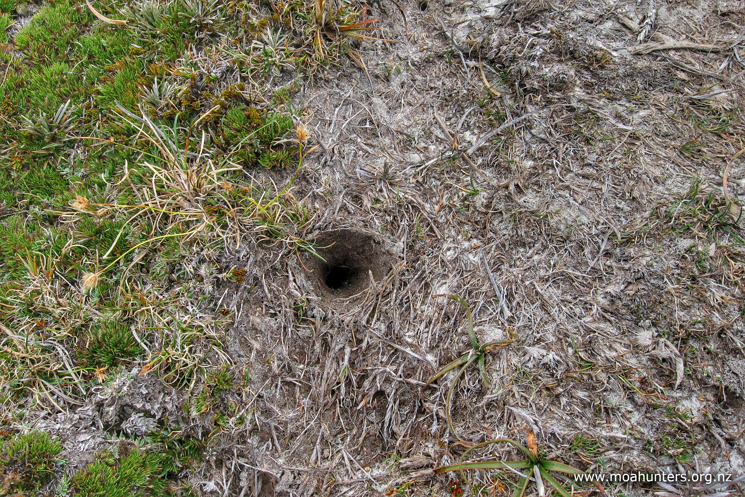
On the forest floor we noticed a lot of signs of kiwi activity. Distinctive cone shaped bore holes in the mud were everywhere, marking the places where busy kiwi had been burrowing in with their beaks, chasing grubs, worms and other tasty morsels.
There is a stream about 30 minutes walk from the hut that is suitable for collecting drinking water from. We also filled our bottles at a large clear tarn about 50 minutes from the summit. In wet weather there would likely be other small streams full enough to collect water from. If you don’t mind stream or tarn water, there’s no need to carry water on this day trip.
As we gained altitude, the forest around us abruptly changed its nature. The large rimu disappeared in the space of a few steps, and we found ourselves walking through tunnels of gnarled manuka. The verdant sea of mosses, grasses and ferns evaporated, replaced by tangled scrubby brush.
The last half hour to the summit is above the bushline, with increasingly expansive views of Rakiura Stewart Island opening up. A note in the hut book had said there is a cold breeze atop the mount. That seemed hard to believe in the warm conditions back in the forest. But as we progressed up the exposed slopes, an icy chill on the breeze reminded us this wind had recently blown across the frigid southern ocean!
We were surprised to still find signs of kiwi activity at this altitude, exposed and well beyond the cover of the thicker bush. The small clumps of scrub must provide sufficient hiding spots for them to confidently venture this high.
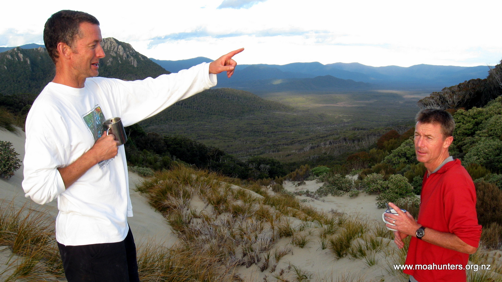
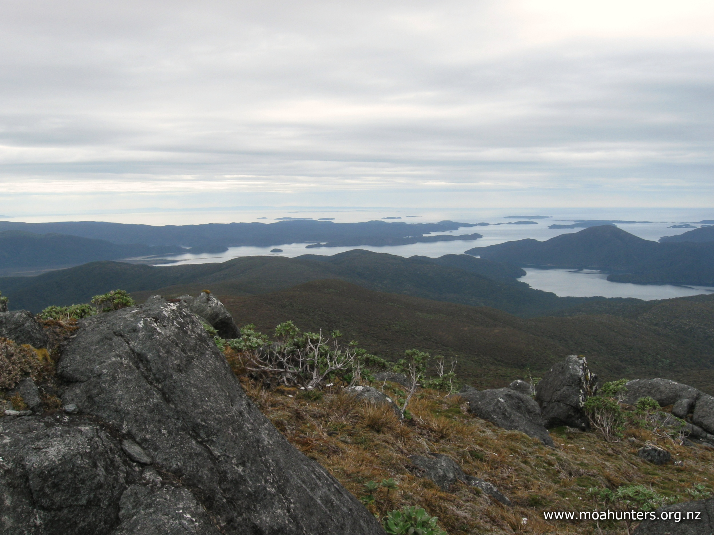
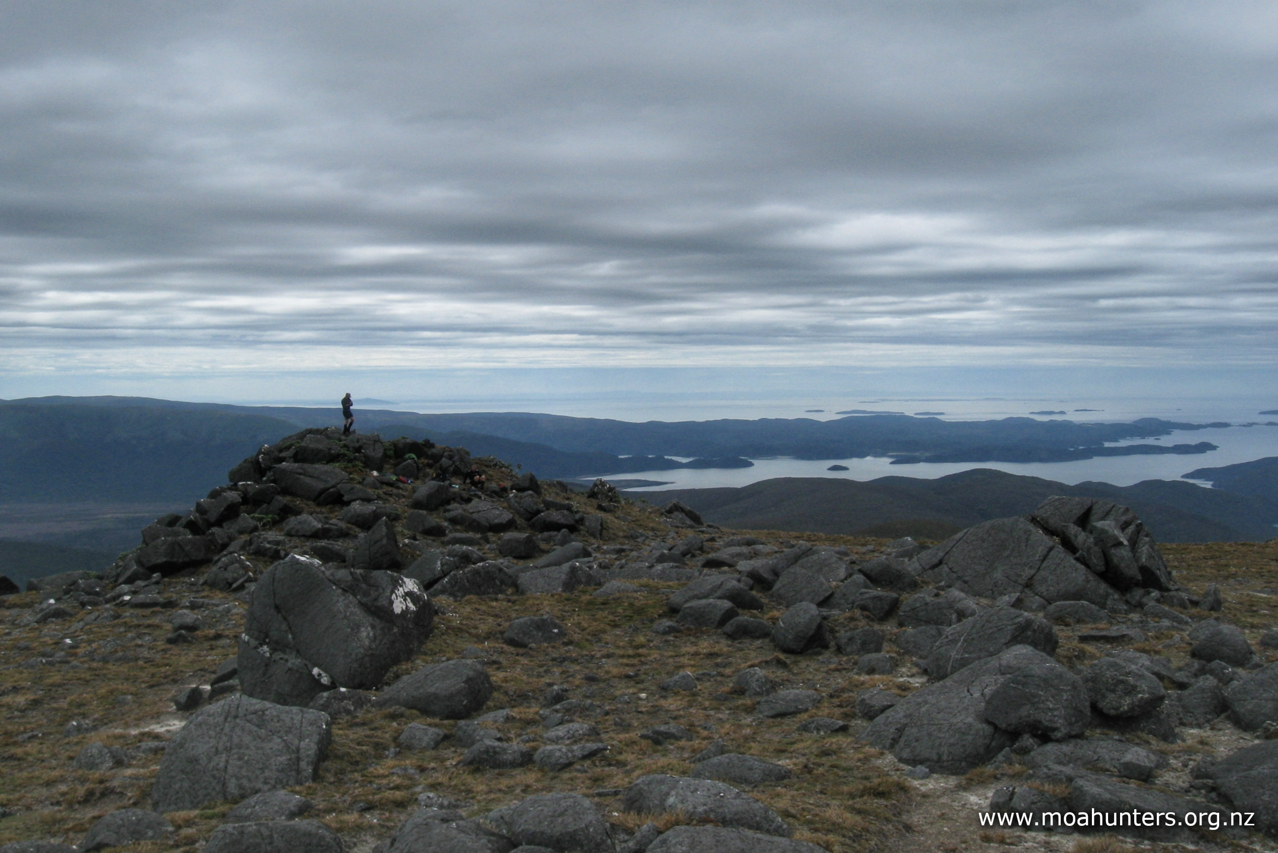
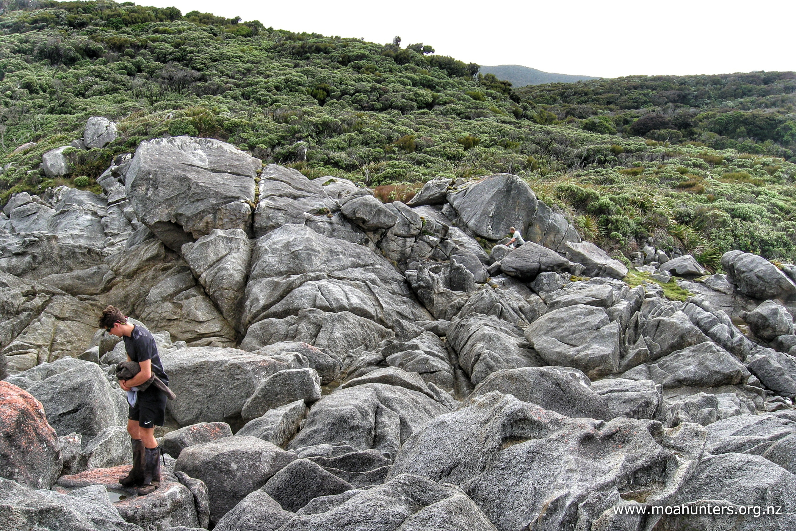
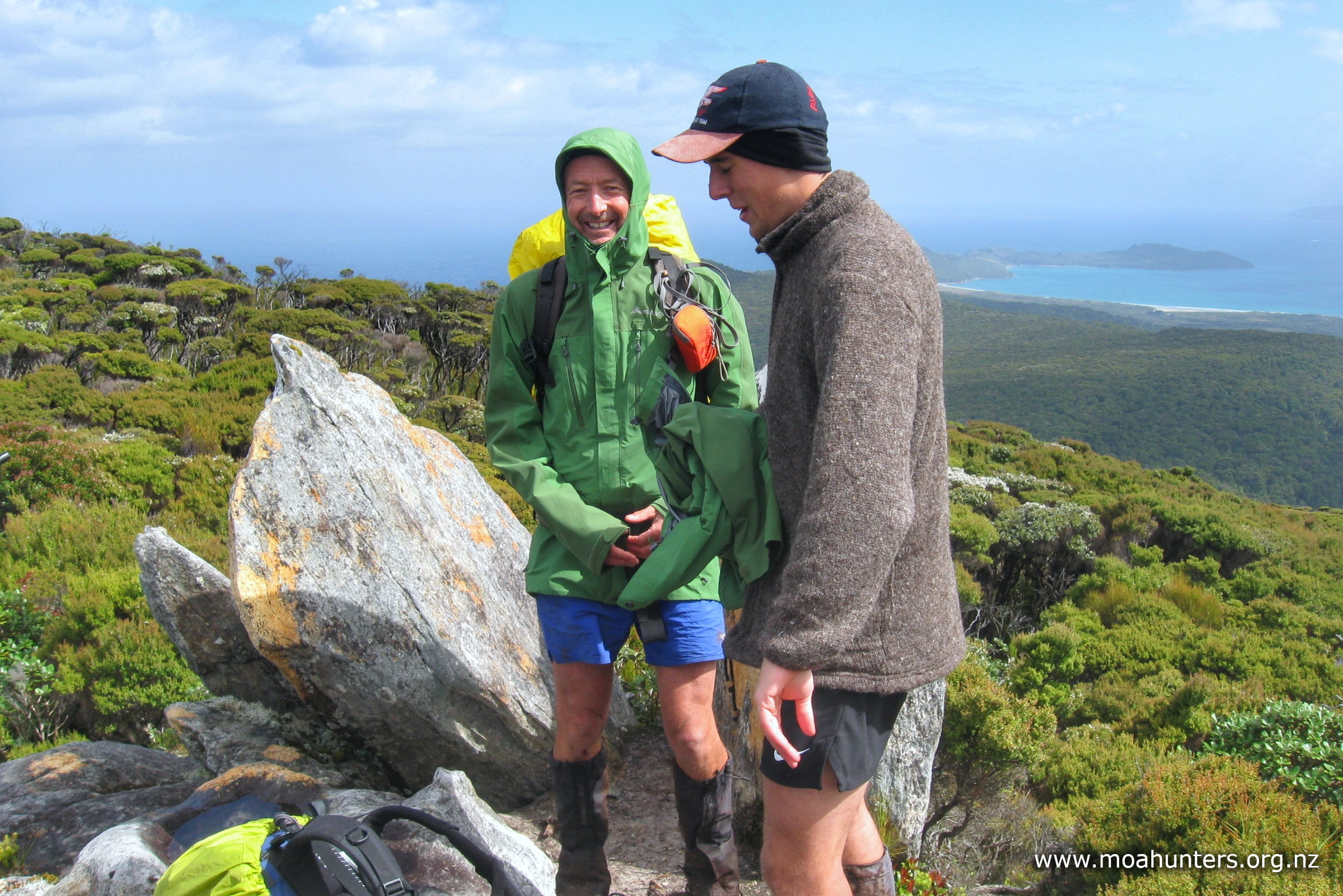
There is a communications tower close to the summit, with a couple of tall rocky knobs to clamber up on and take in the 360° views.
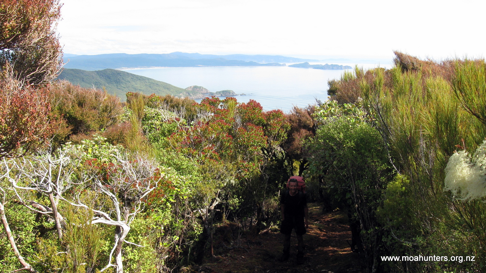
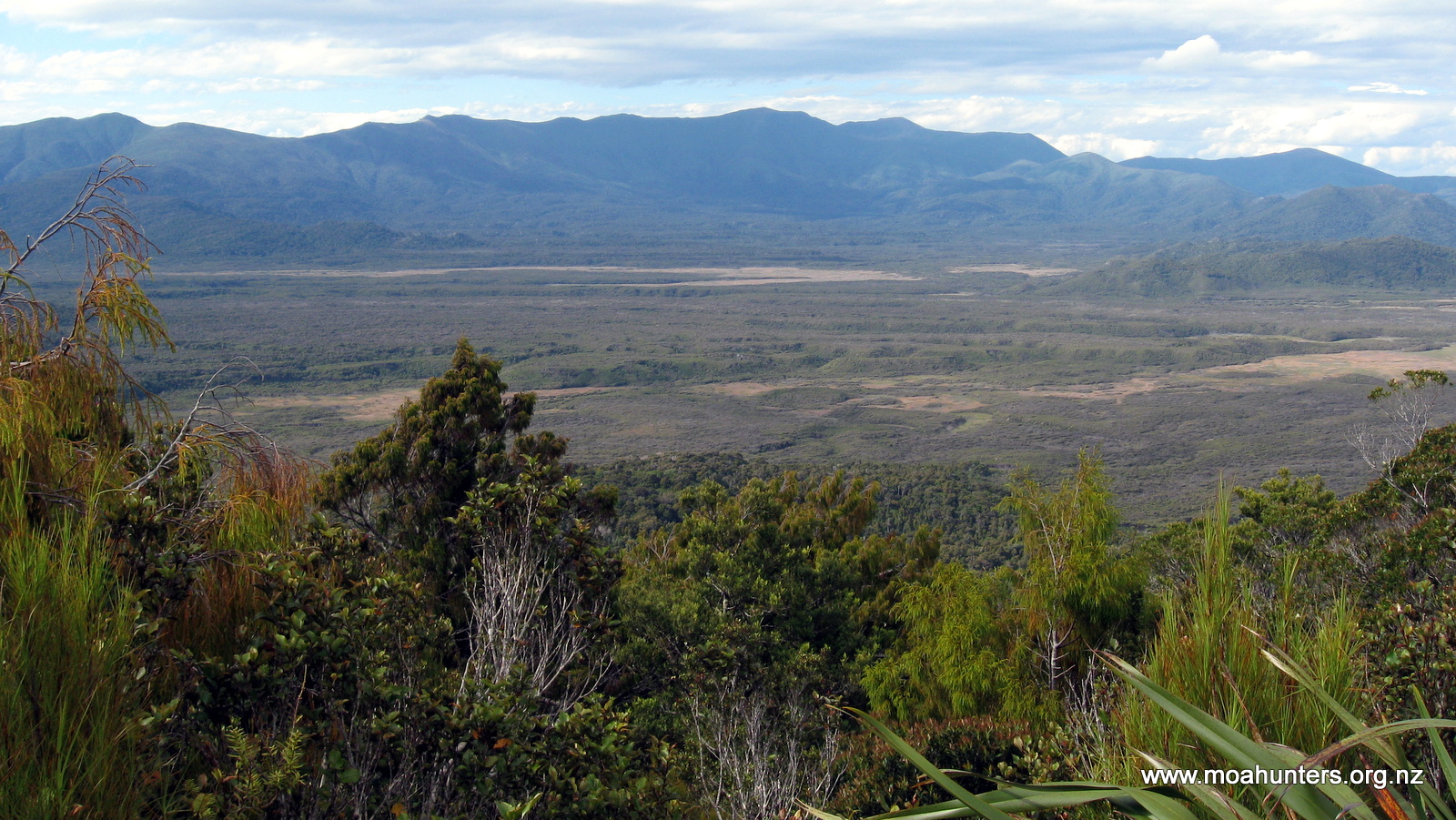
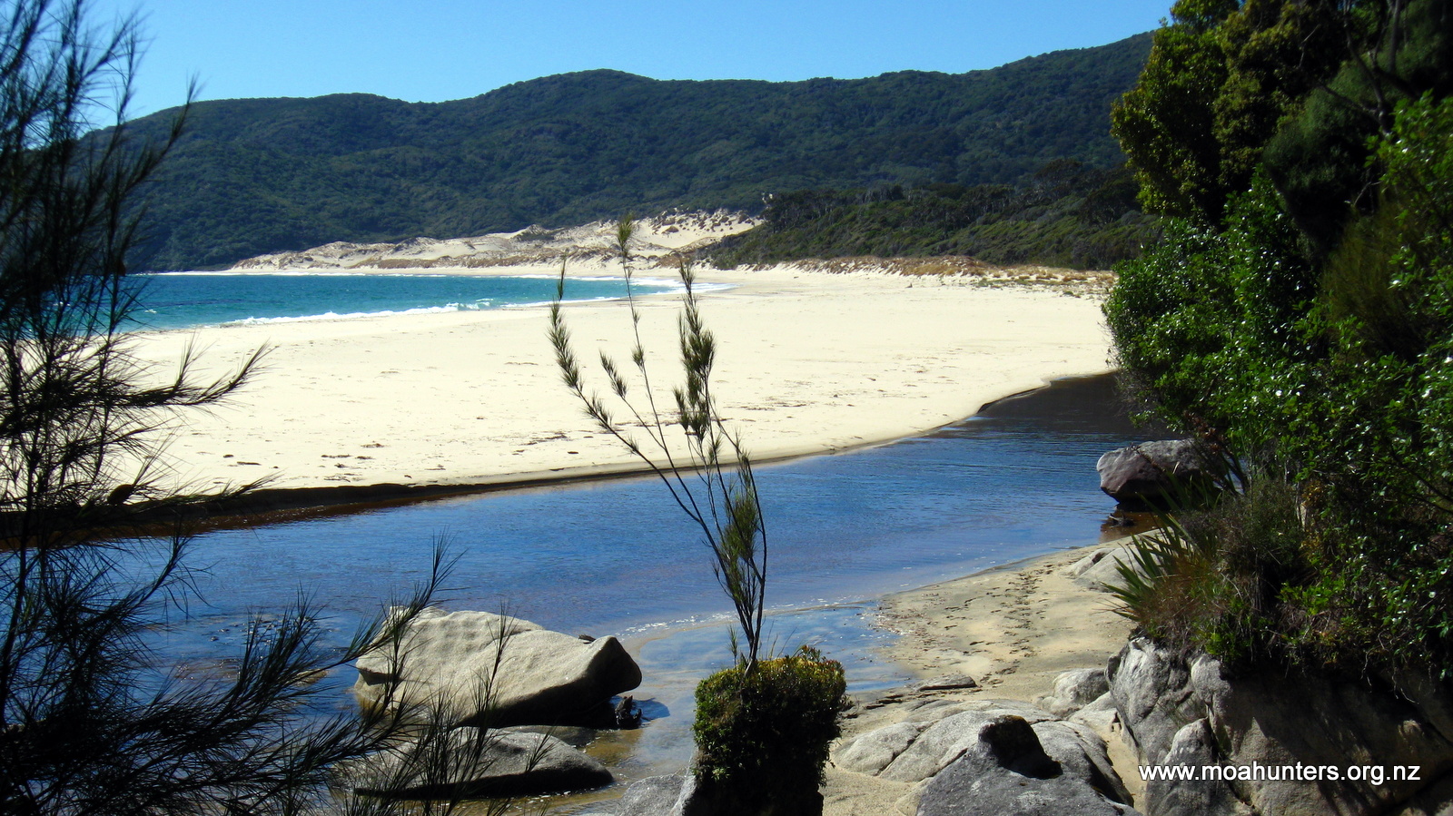
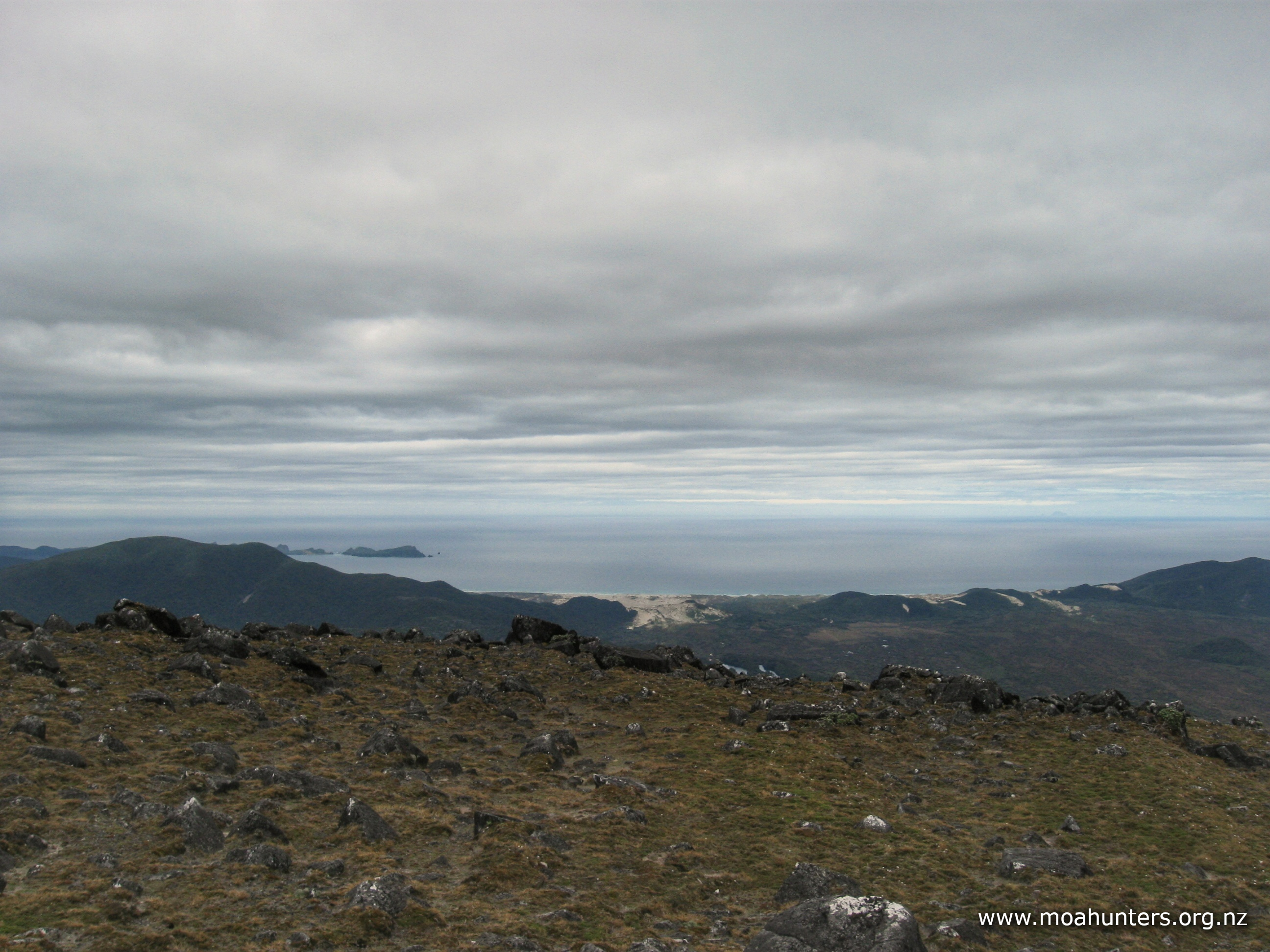
Standing on the summit in clear conditions we were treated to views of Paterson Inlet with all its intricate bays and islands. To the west, Mason bay’s majestic sweep of white sand is easily spotted, as is Rakiura’s tallest peak, Mt Anglem in the north. Looking south into wilder and less travelled territory, we could see the misty Tin range.
Standing about 50 metres below the summit looking south we could also make out the distant cluster of macrocarpa trees marking the location of the hut.
We all took photographs in every direction, knowing they would never do the views full justice. There’s always more to a spectacular view than just what your eyes see. There’s the feelings of euphoria and privilege as you take it all in… the cool freshness of the mountain air filling your lungs as you take a deep breath. It all adds up to something more than can be conveyed by a photo. It’s the reason we put on packs and actually walk to these places.

It had taken us 2 hours 45 minutes to reach the summit. We had plenty of time to enjoy Mt Rakeahua, so we found ourselves a comfy spot on the sheltered side of a rocky outcrop. We pulled out our food and settled down to enjoy lunch at the café with a ten million dollar view. Out of the breeze and pleasantly warm, some of us took the opportunity to close our eyes and enjoy a sneaky snooze.
The walk back down to the hut seemed to be over very quickly. We all enjoyed the easy conditions, unencumbered by heavy packs.
Spaghetti Bolognese for dinner was expertly prepared by Paul and Chris. A mushroom and black pudding entrée was also served. Luxury!
As we sat outside eating and shooing bumblebees away, a fit looking young fella called Matt walked up from the Doughboy bay track. He had just smashed it out in five hours! Most impressive for a 6-7 hour DOC track time on that section. Having finished the Te Araroa trail (South Island leg only) a week ago, he had decided he might as well do Rakiura as well. Well, why not…
We shared some food with him and offered to make space in the hut. He contemplated that for a minute or two, but decided that he would push on the Fred’s camp, we assumed hoping it would be less crowded! Fair call.
Day 4
TUESDay 18th JANUARY – Rakeahua hut to Doughboy hut

For reasons unknown, the sandflies and mozzies had decided to stay away overnight. We didn’t care what party they had headed off to, it was just nice to not have them buzzing our heads overnight.
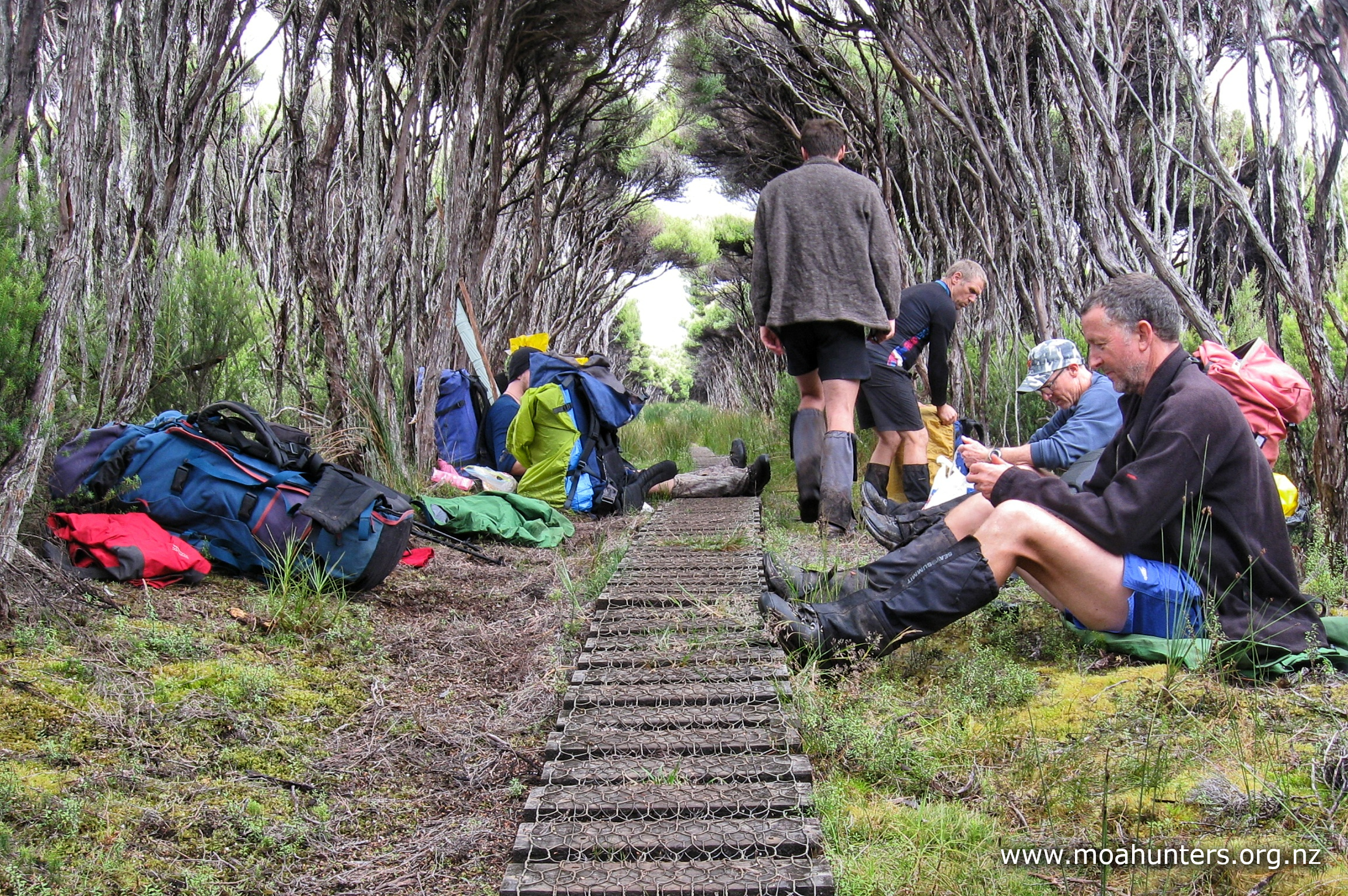
We had all slept a little better in cooler conditions than the previous night, and were feeling fresh and ready to get going. Breakfast was porridge, and we were packed and ready to step out onto the track by 8:30am. Before leaving we swept the hut, then checked, double checked, and triple checked we hadn’t left anything inside!


As seems to be the usual on DOC walks, the first ten minutes from the hut was very pleasant, the track meandering through fairly dense manuka with little mud or sticky conditions.
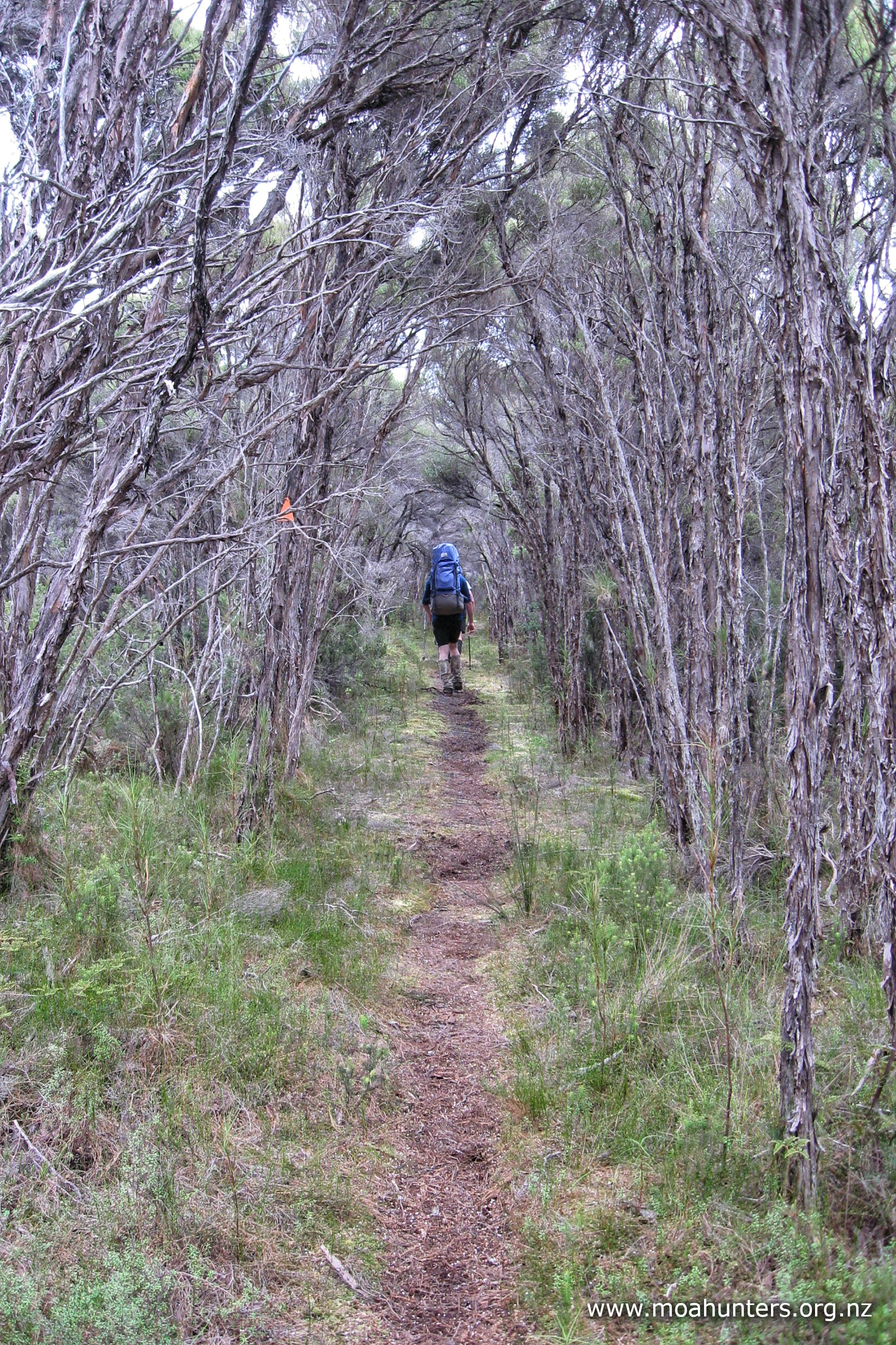
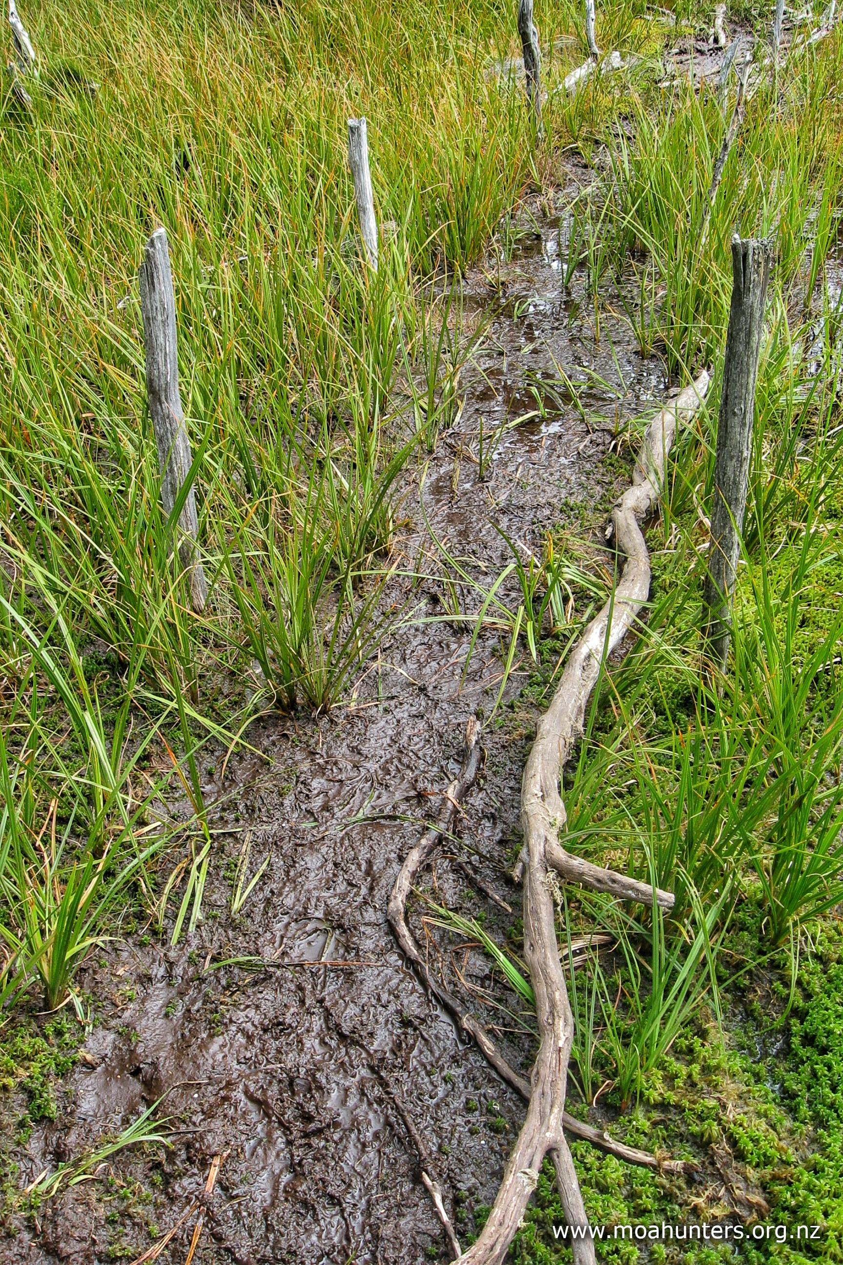
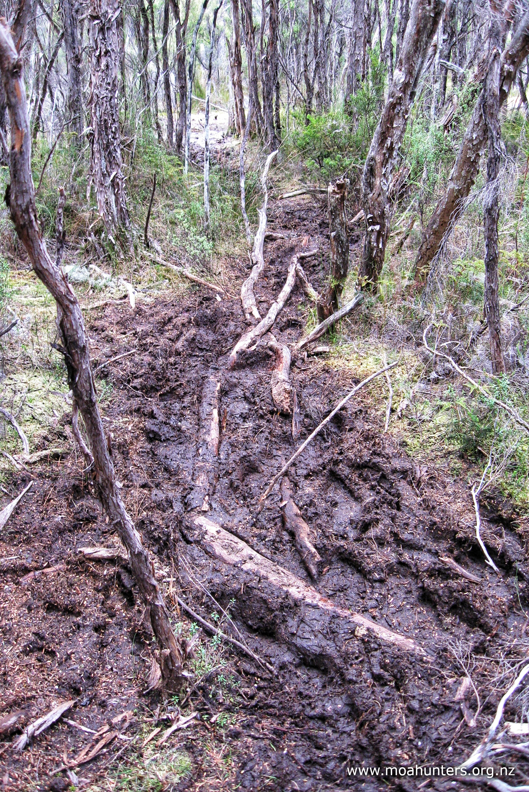
And as seems usual for Rakiura, the lack of mud did not last long! We soon found ourselves involved in a fairly long section of increasingly boggy mess. Initially this was mud patches that could be skirted round via alternate “side tracks” weaving amongst the manuka. But as the terrain got flatter, conditions got swampier and we often found ourselves looking for fallen branches to create safe crossings with.
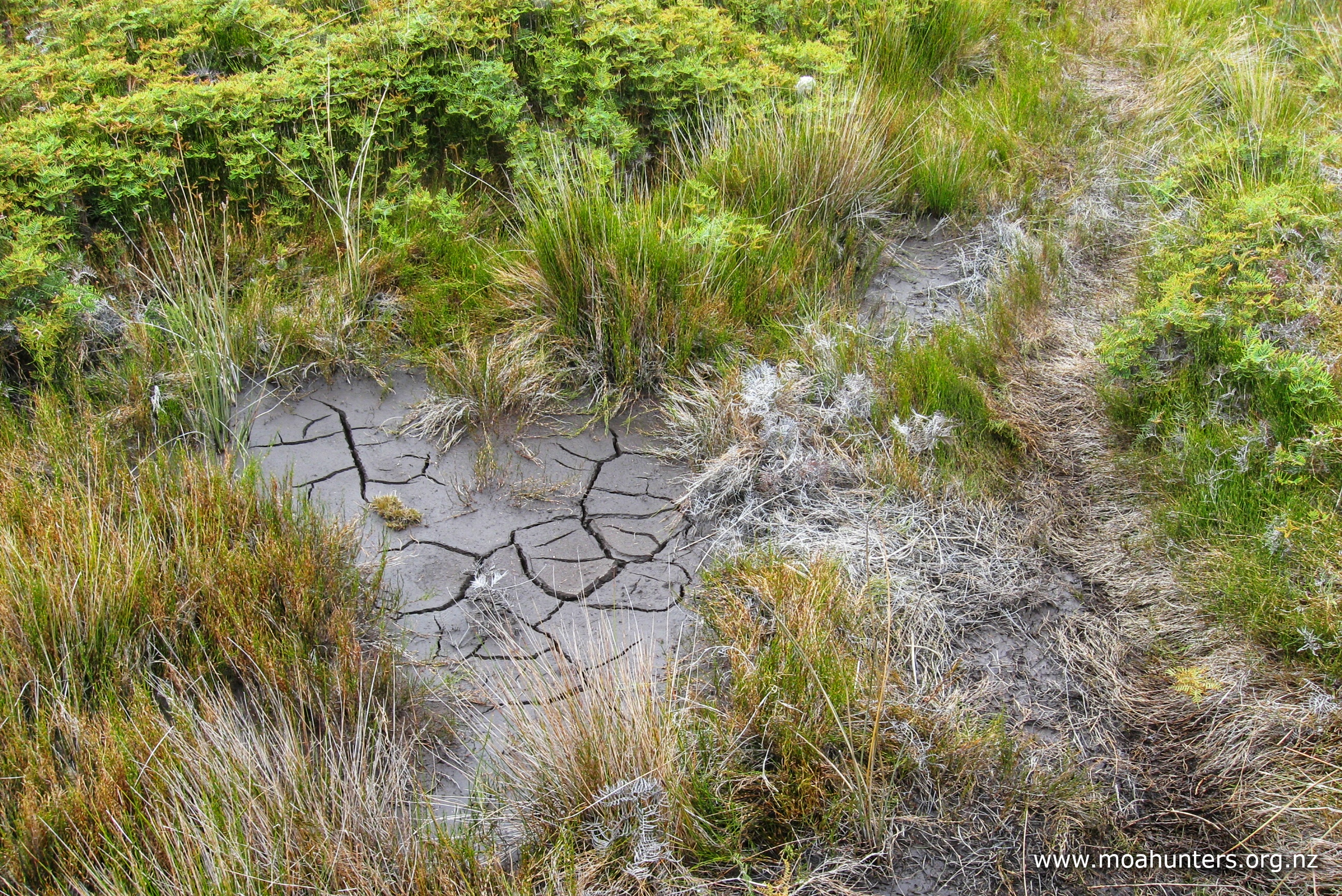
Stepping into the mud in these areas often releases a waft of pungent sulphurous odour. Years and years of slowly decaying plant material in the mud makes some patches of gloop rather aromatic. These are definitely the mud pits to very specifically avoid falling into!
Chris, however, did manage to find himself a particularly deep and sticky mud pie to drop into. Getting his leg out and making sure he still had a boot on the end of it proved to be a short but very entertaining challenge.

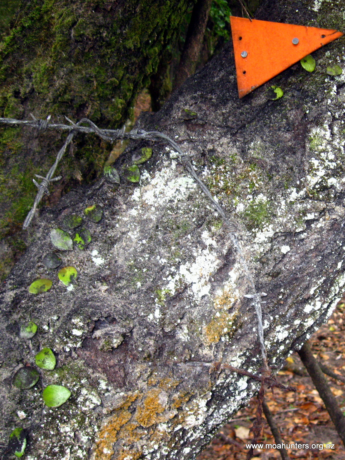
With all the diverting around bogs, we did briefly find ourselves geographically embarrassed, suddenly left scratching our heads in open territory without a track or any track markers.
We had been following a well walked path that skirted to the right of a particularly boggy area. The path entered an open marsh area and quietly faded away to nothing. Unable to spot any friendly triangular orange markers in any direction, we knew we were in the wrong place. We fanned out and hunted for the right place. It wasn’t long before Chris gave a shout. He had located the track over a bank to our left, in far less swampy terrain.
After slopping through the messy bogs for almost an hour, we were pleased to see the track moving up onto higher ground away from the river. This was the start of a lovely sidle through tall forest with a carpet of ferns below. With very little mud to negotiate, we all took the time to enjoy the delights of the forest, keeping an ever watchful eye out for kiwi amongst the ferns. It’s amazing how many mossy shapes in the undergrowth look just like a kiwi when you really want to see one!
Beyond the sidle, we popped out of the forest again and onto scrubby lowlands, but this time with much less mud. The few messy areas we encountered were easily skirted round, or in many cases, simply walked across.
Due to a lack of accessible streams in the area, our lunch break was a little later than usual. It was quite a warm and humid morning, and we were keen to take the break beside some cool drinking water. This didn’t eventuate until a bit after 1:00pm when the track finally crossed a stream large enough to fill our drink bottles. We were all getting quite hungry by this time.

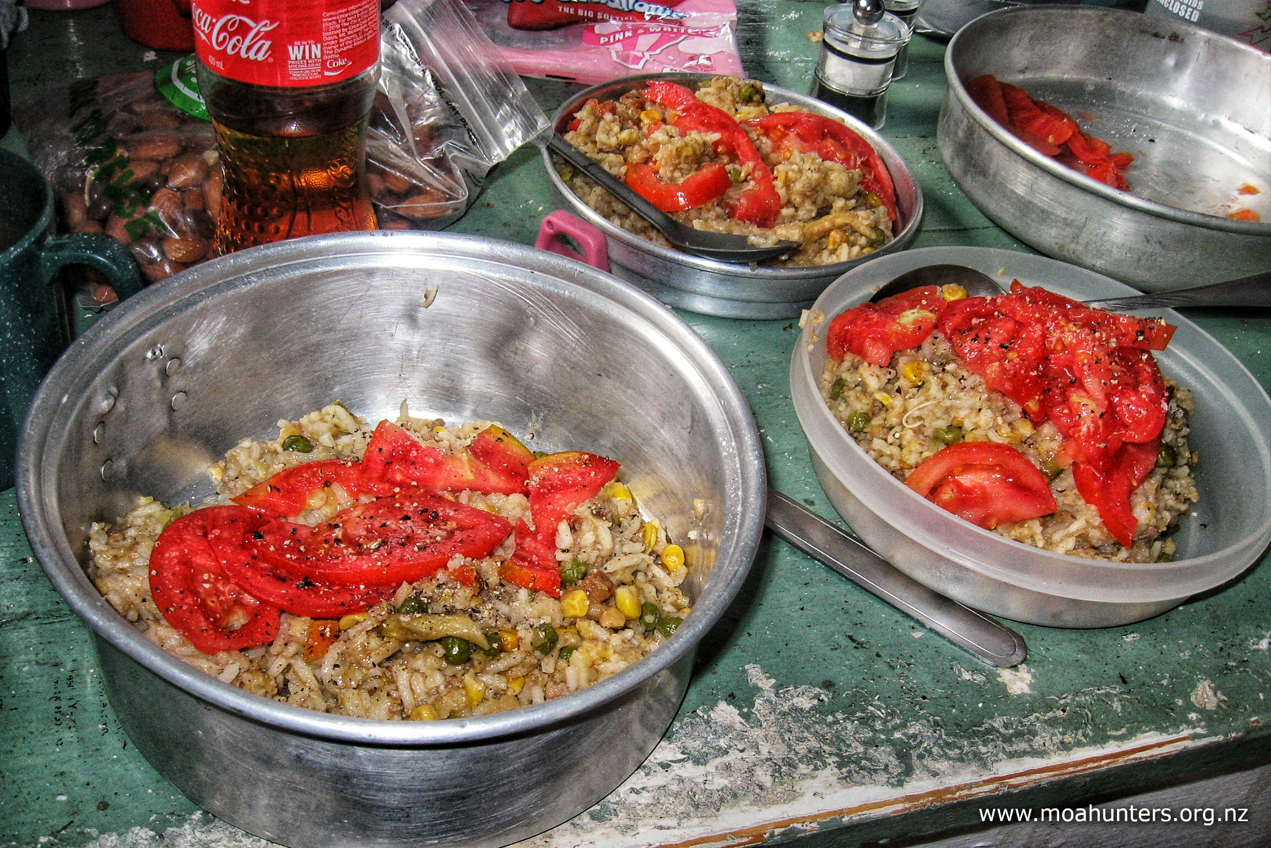
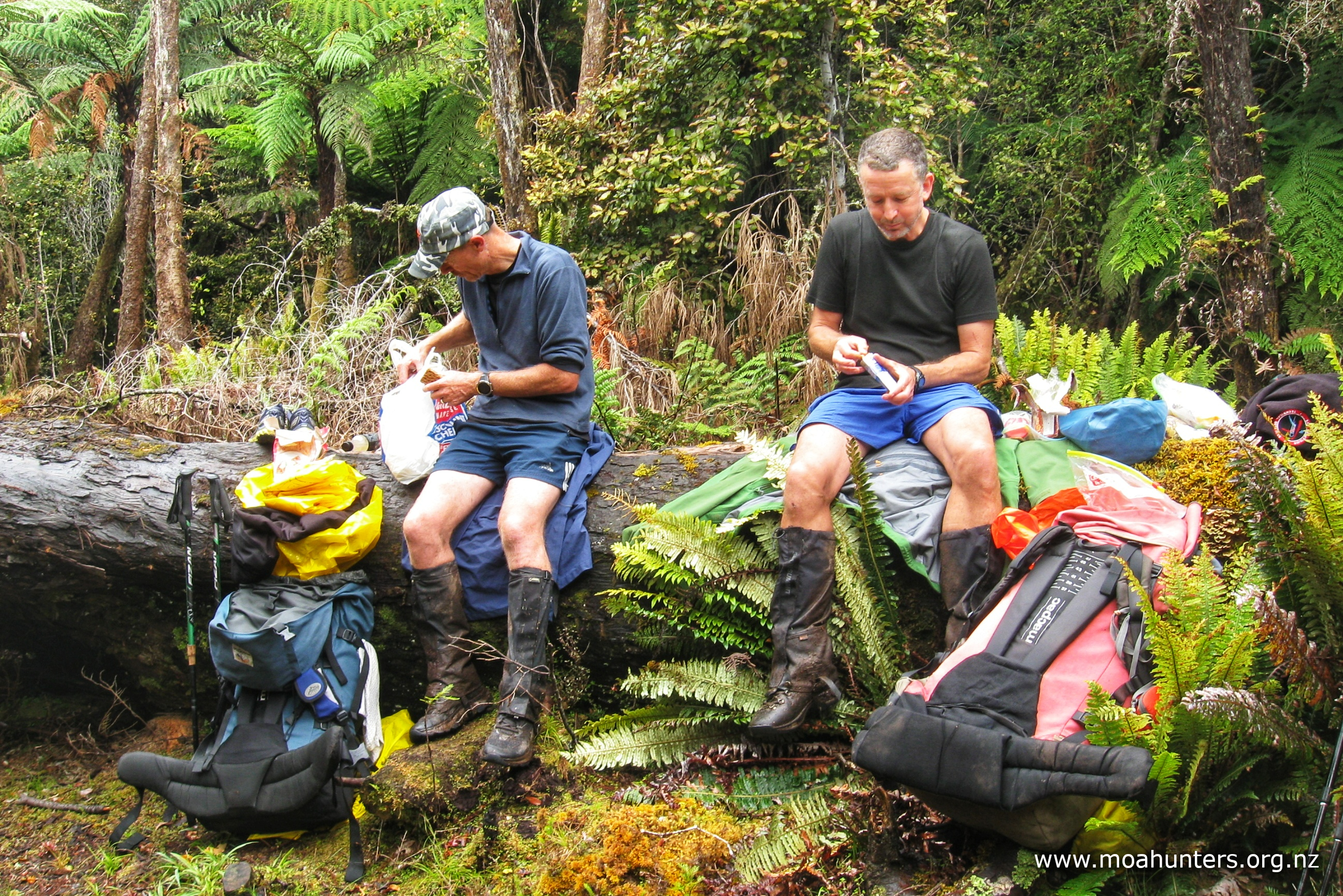
Moa Hunter packed lunches were all very similar on this trip. Salami, crackers, tuna pockets, cheese slices and muesli bars were a recurring theme …except for Chris, who slightly bizarrely had gingernuts in place of crackers. To be fair, the rest of us struggled with his gingernut, cheese and salami combo. Equally, the gingernut and marmite ensemble would only be contemplated in an emergency.
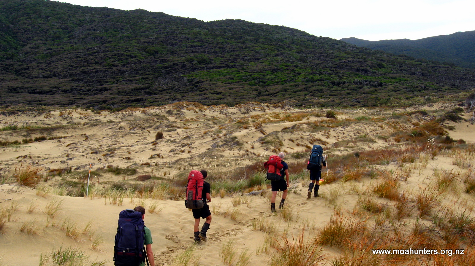
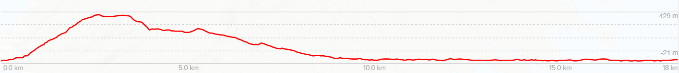
Walking on from our lunch spot, we began the slow but steady climb towards Doughboy hill. Conditions today were not sunny overhead, but it was hot on the track with barely a breath of wind down in the forest. It was not long before we were all perspiring heavily again.
By mid afternoon we were on a steeper section of track, following up a rough ridge. Very quickly the forest canopy dropped away and left us once again surrounded by tangled manuka and scrub. It was almost like a switch had been flicked eliminating the taller podocarp forest, it happened so sharply.
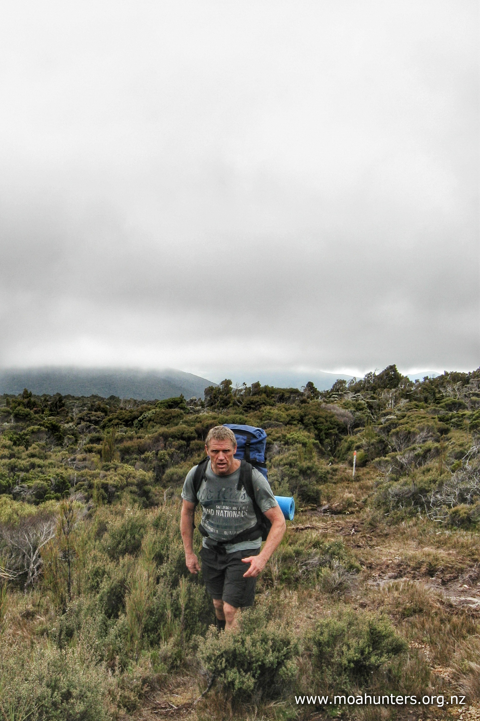
The stunted manuka wasn’t with us long either. By 3:00pm we were effectively above the bushline. Misty low cloud was blowing across the tops, pushed along at good pace by a chilly breeze. We found ourselves a spot sheltered from the wind to nestle down in and munch some scroggin. No longer feeling too hot, some of us pulled on polarfleece tops or jackets.
Ahead we could see a high point that we assumed and hoped was the the top of Doughboy hill.
It turns out the high point ahead of us was not the top. Nor was the one after that. Or the one after that… In fact, it was another solid hour of walking the tops before we came to what was clearly the peak of Doughboy hill.
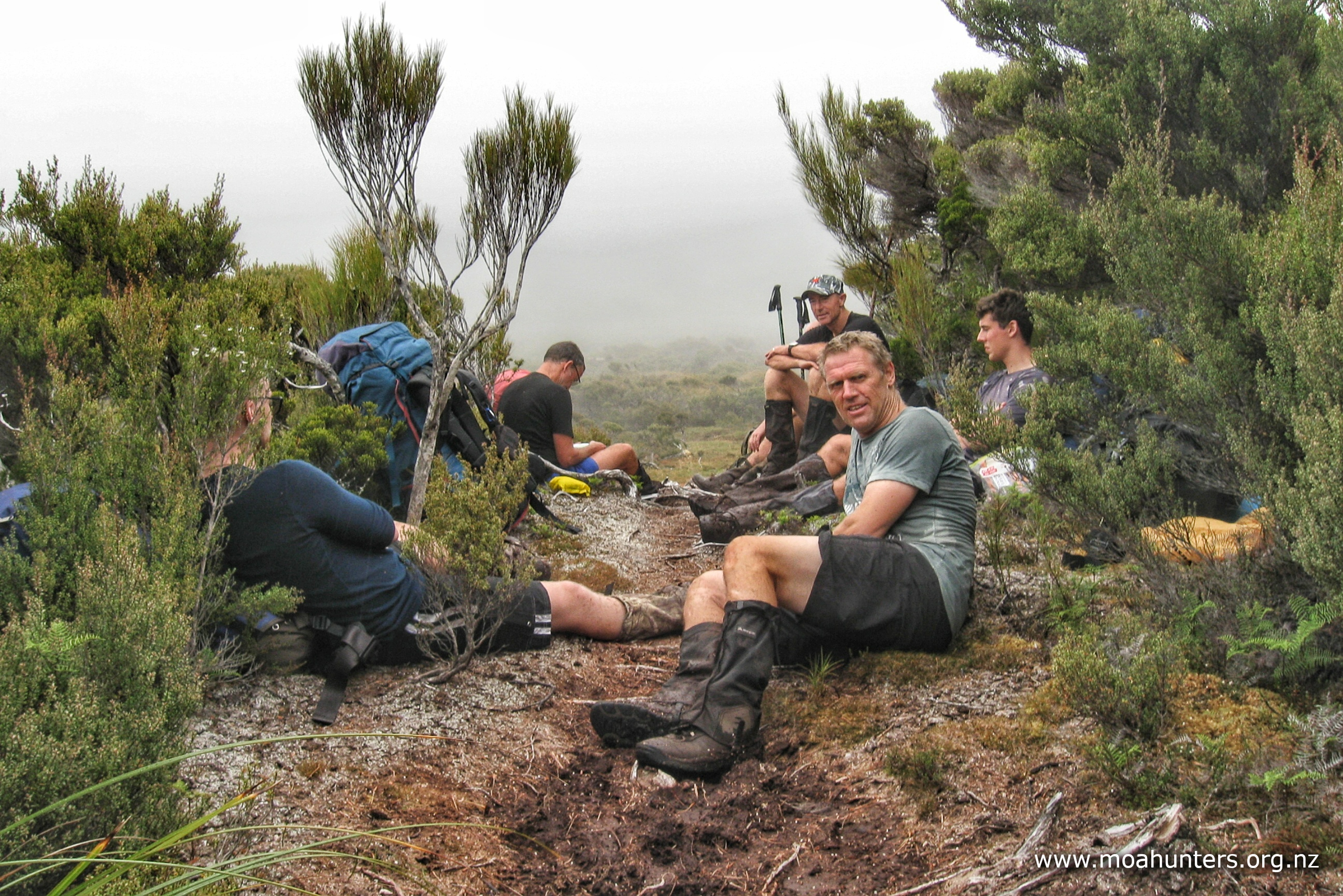
That hour was spent on messy, but remarkable terrain. We picked our way up steep muddy sections that climbed through what we all agreed resembled bone fields. Broken, twisted and sun bleached branches littered the track in huge quantities, looking for all the world like the bones of dinosaurs, scattered about after some cataclysmic extinction event.
Between the bone fields were wide bogs and marshes that required skirting. Getting from A to B was often a circuitous and very indirect route!
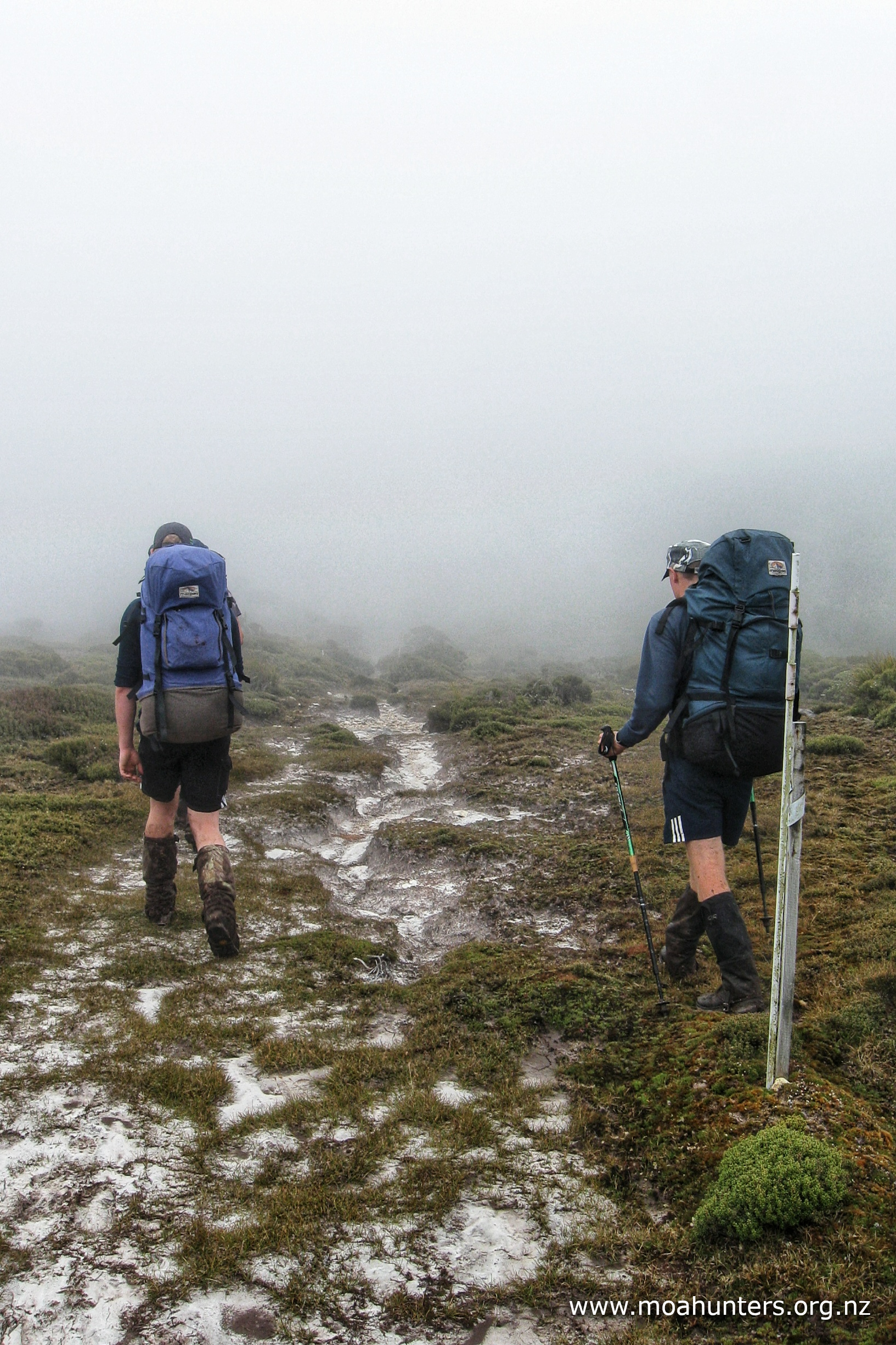

After a seemingly endless lineup of false peaks, we were all relieved to be standing on the highest point of Doughboy and ready for a descent. Unfortunately any possibility of enjoying the view from there was obliterated by the cold damp misty conditions. We did not linger at the top, choosing instead to scamper down for the shelter of the bush below.
Much as the climb onto the tops had been, the first half hour of the descent was just a little bit nasty – steep and muddy, with plenty of slippery tangled roots. Picking our way down was a bit faster than the ascent, but no less demanding.
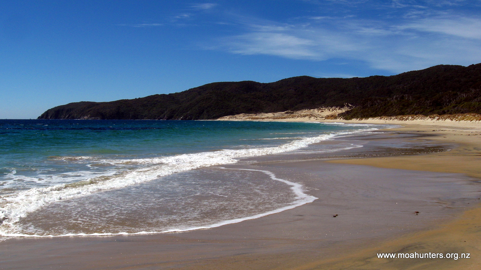
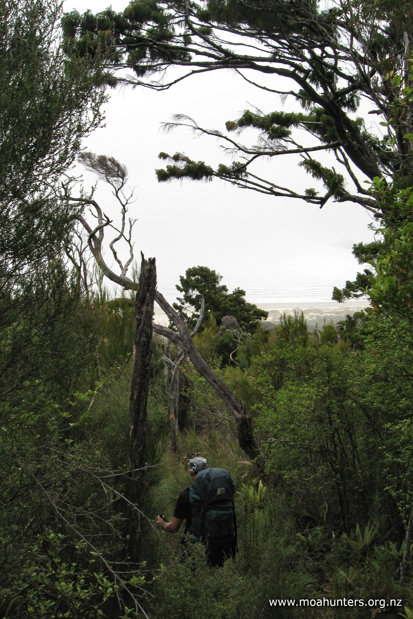
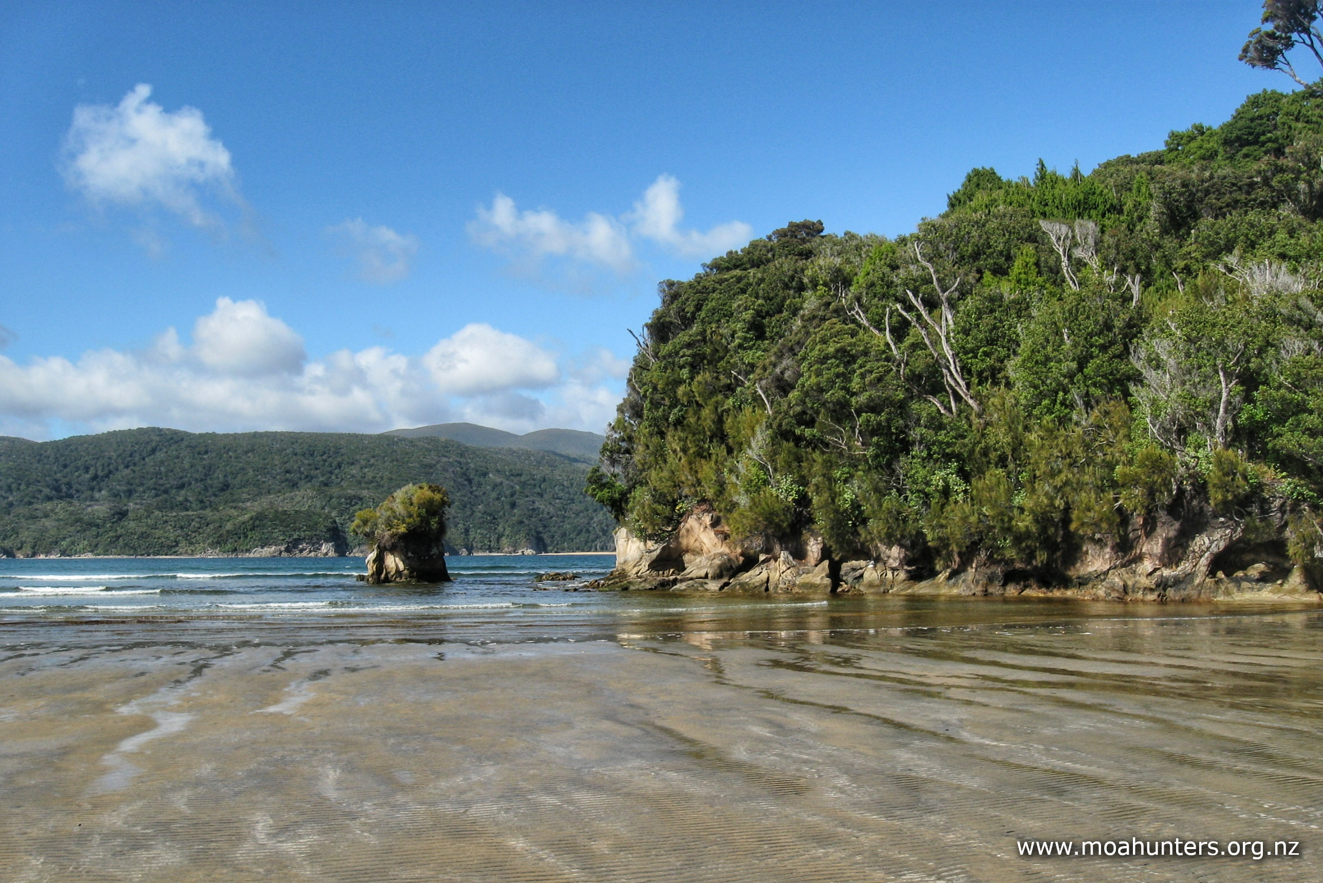
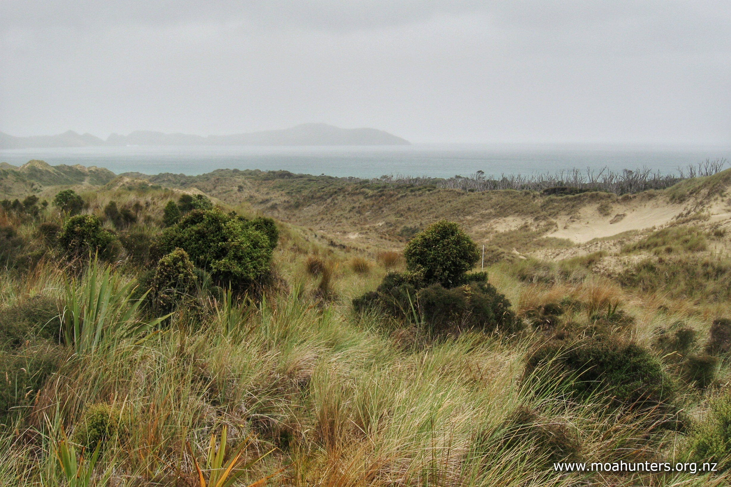
Beyond the nasty stuff, the track levels out into podocarp forest again, through which we could hear the sound of waves breaking at Doughboy bay below. Before long we also caught some glimpses of sandy beach through the trees.
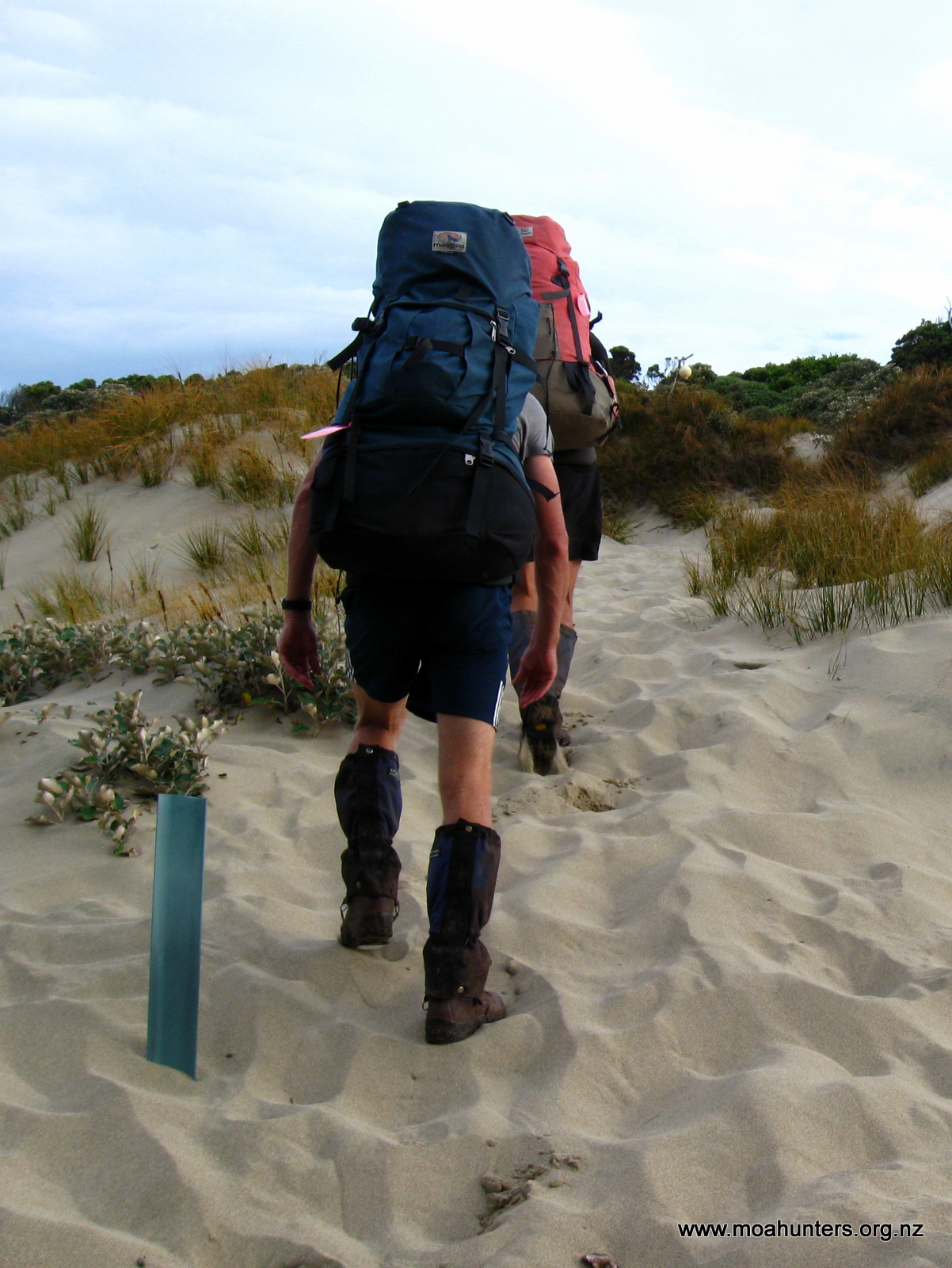
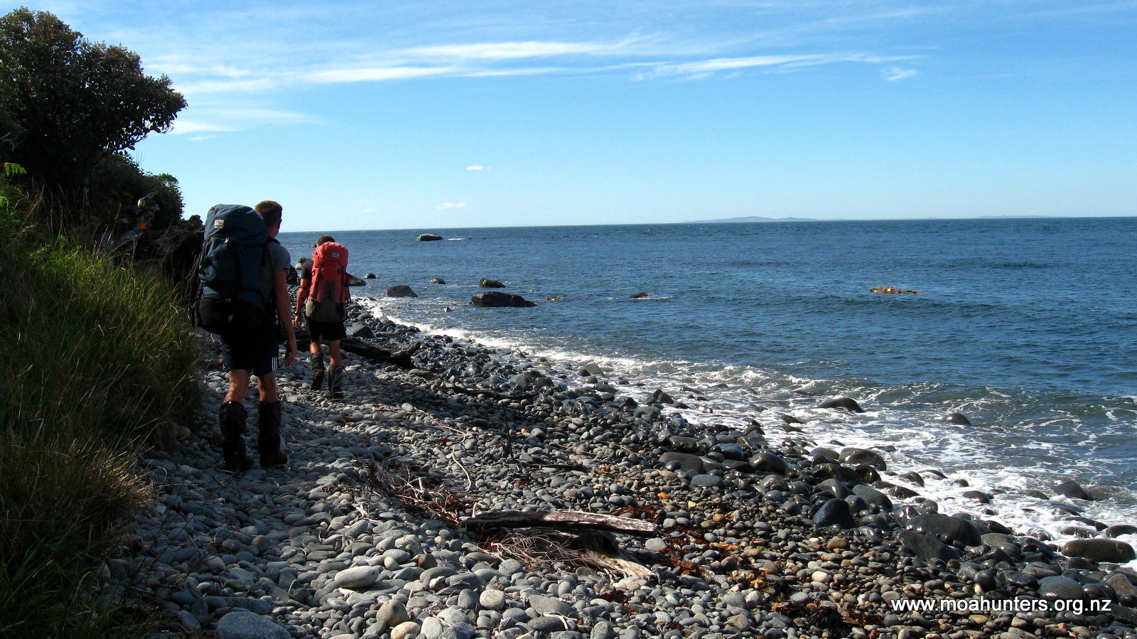
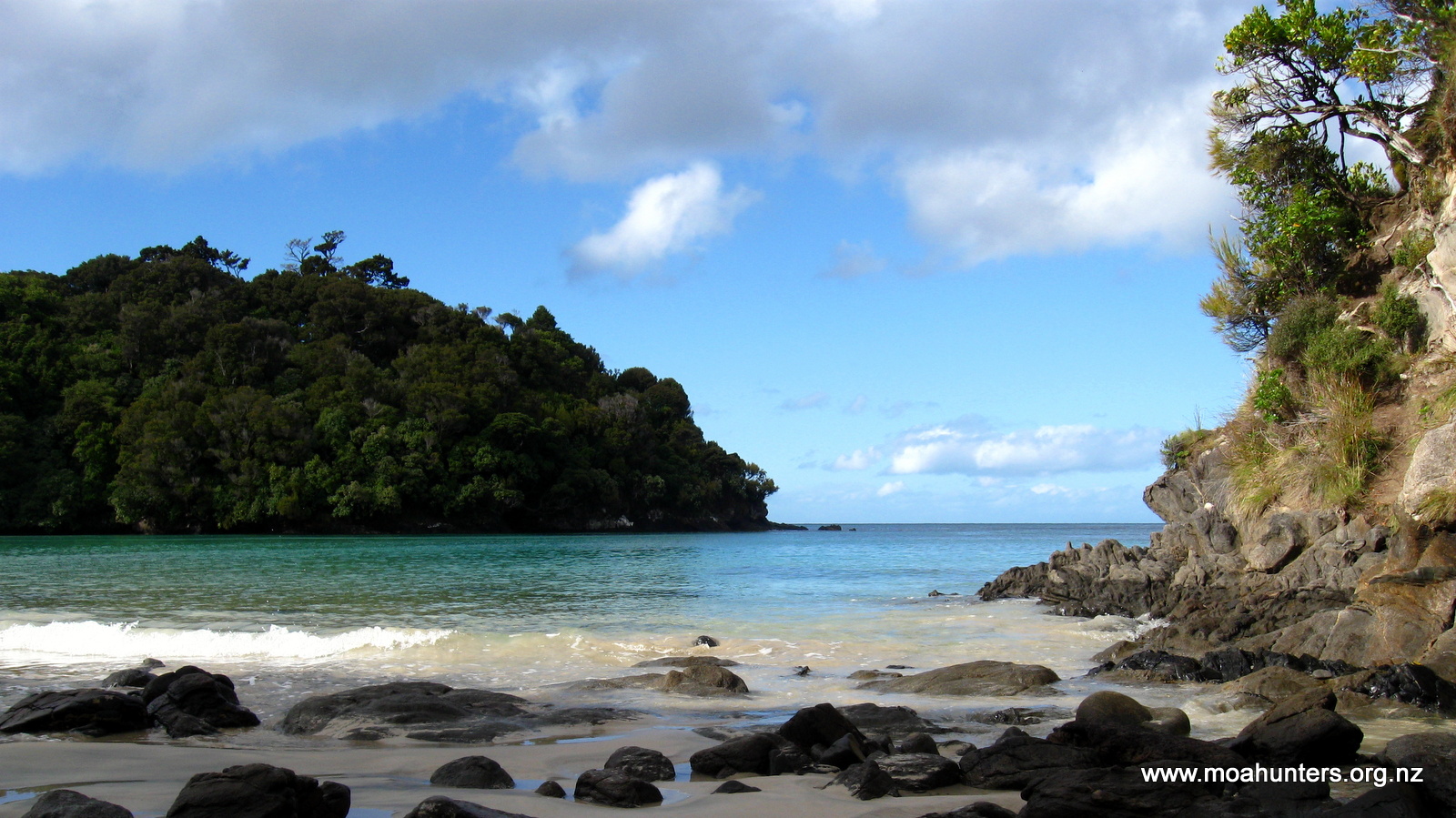
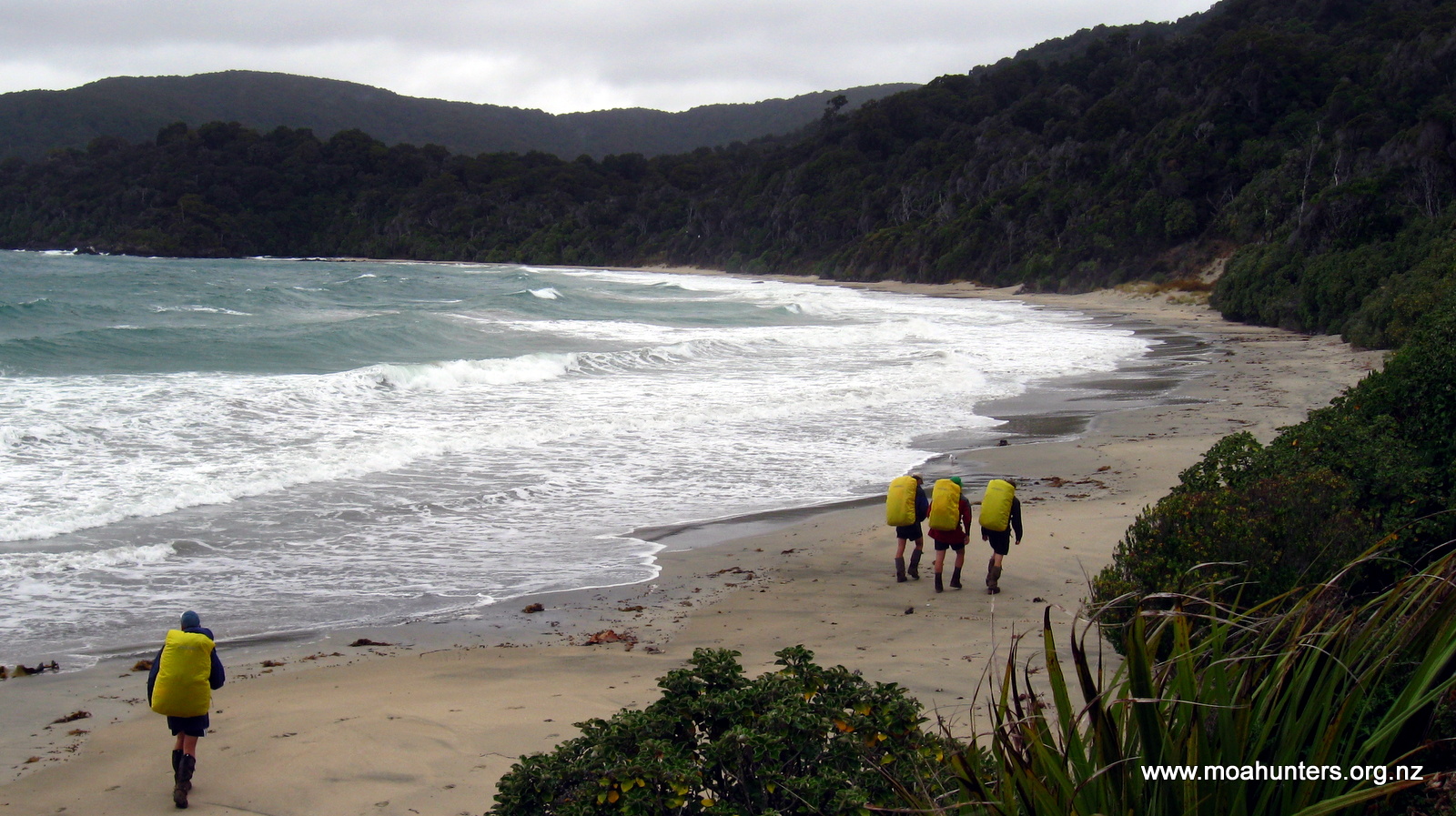
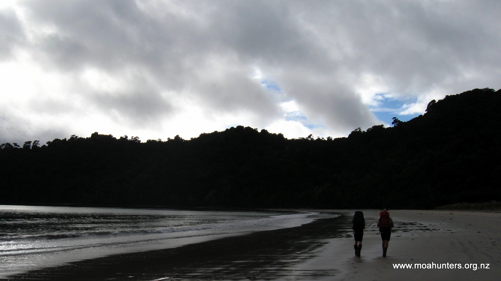
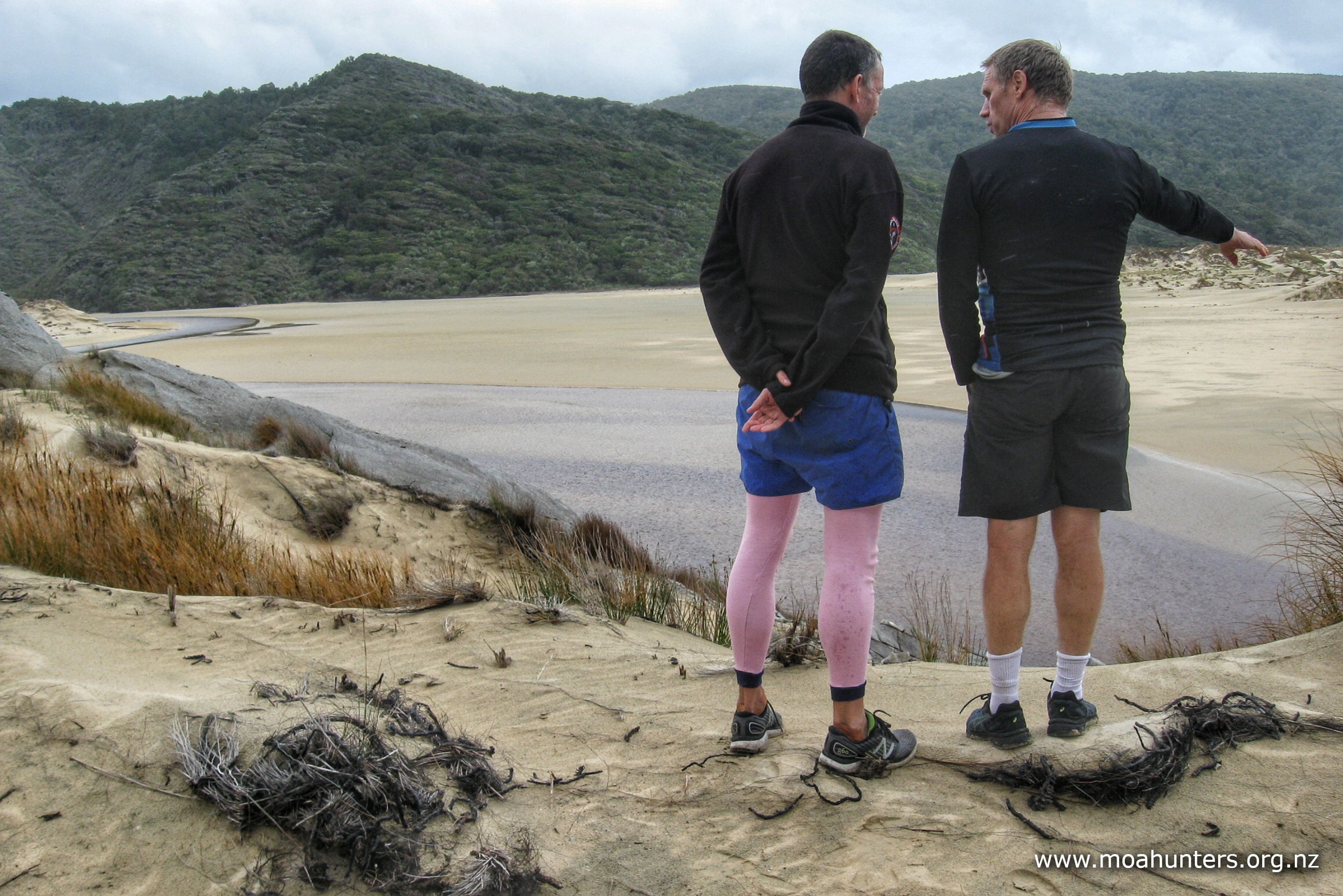
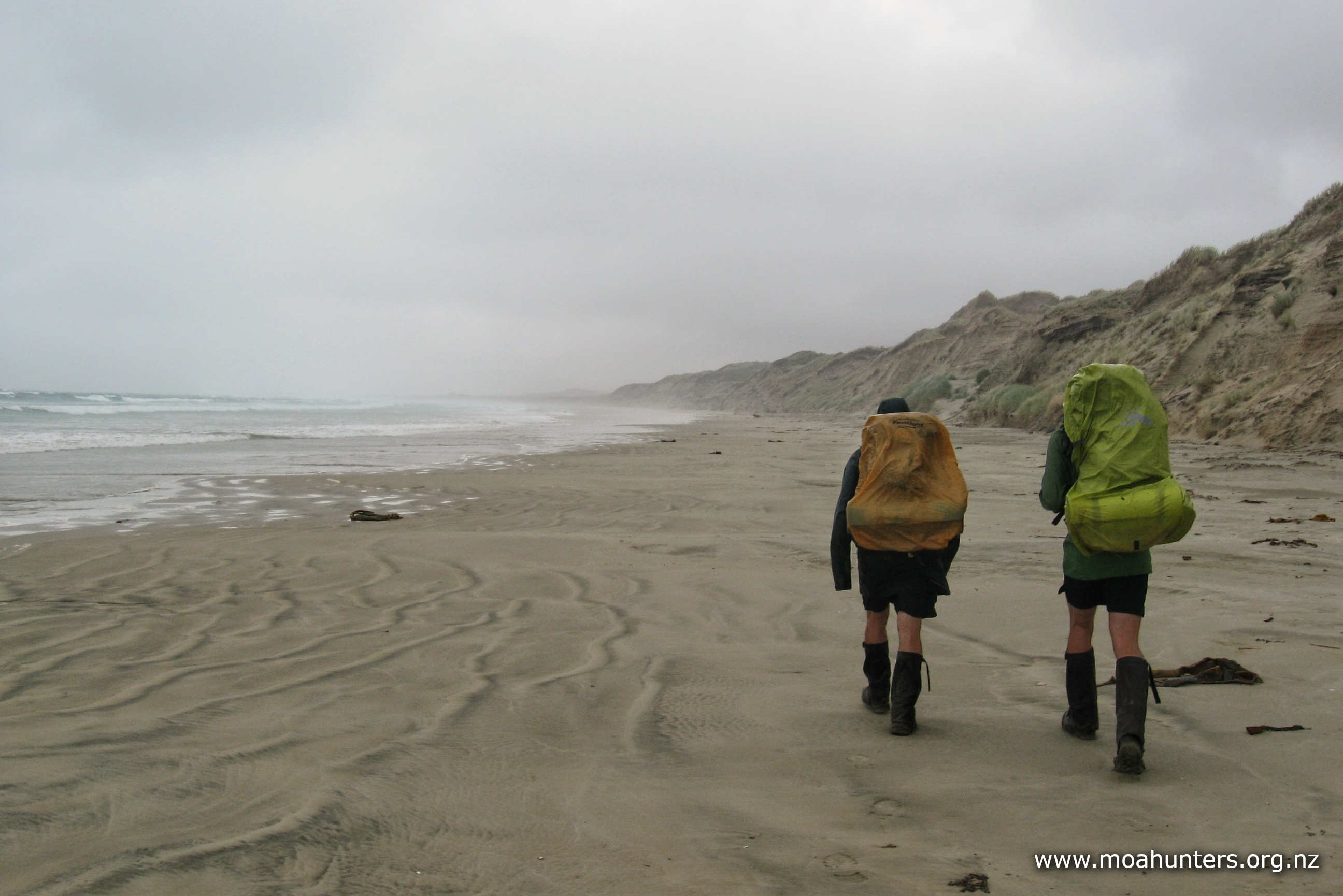
It was after 5:30pm when we finally stepped out onto the bay. Following quite an array of boot prints across the sand, we wandered down the beach enjoying the lovely surroundings.
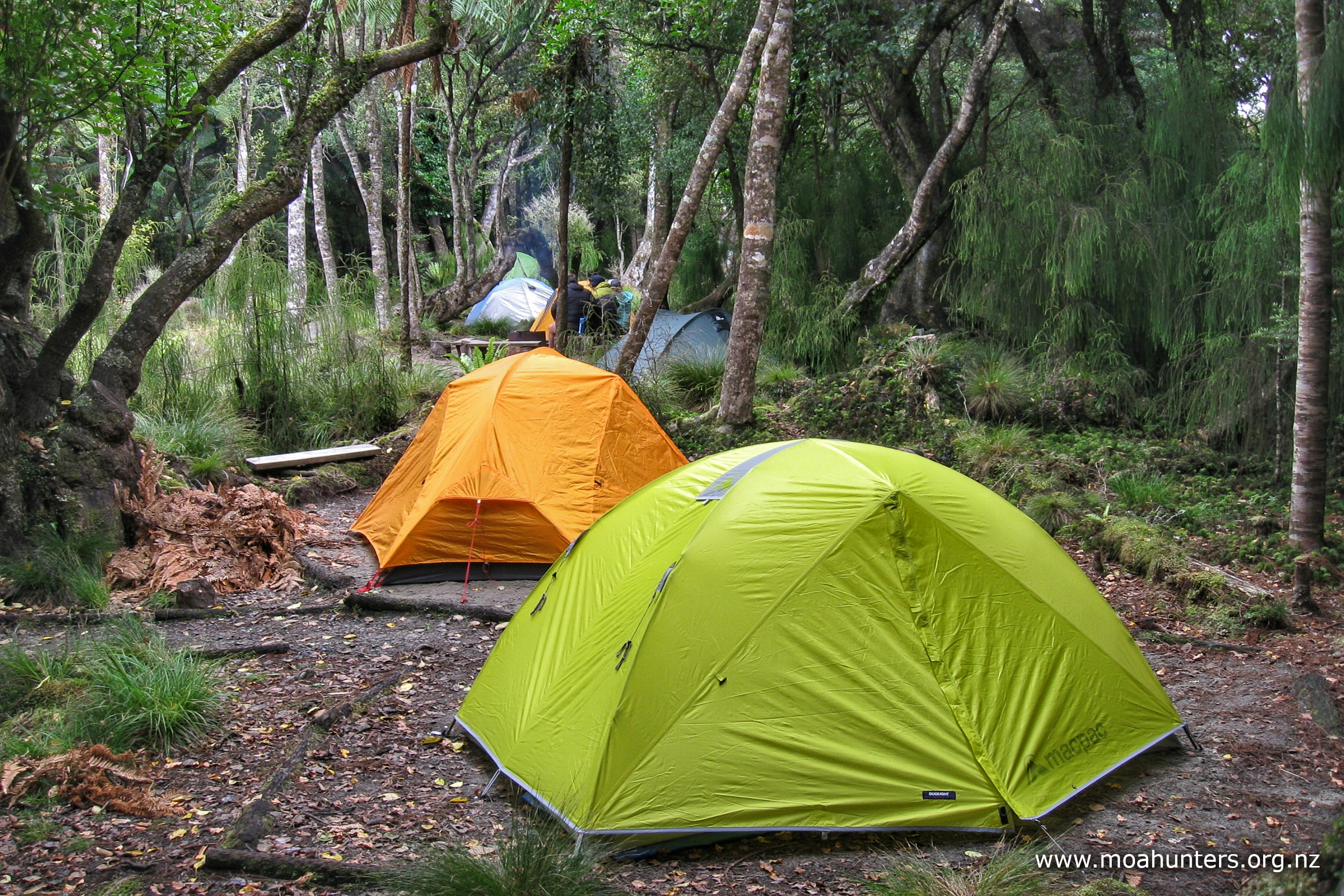
At the top of the bay we came to a couple of tents and a shelter setup on the edge of the bush. We said hello to the family who were sitting comfortably around a campfire. They had flown into Doughboy on a hunting expedition and would be walking out in a couple of days.
They had caught blue cod off the rocks the day before which was good news. We hoped to be able to do the same! Hunter-bloke Steve and his partner Esther had four boys with them ranging from 7 to 16 years old. They were certainly a keen family, and we admired them for camping in such a remote place.
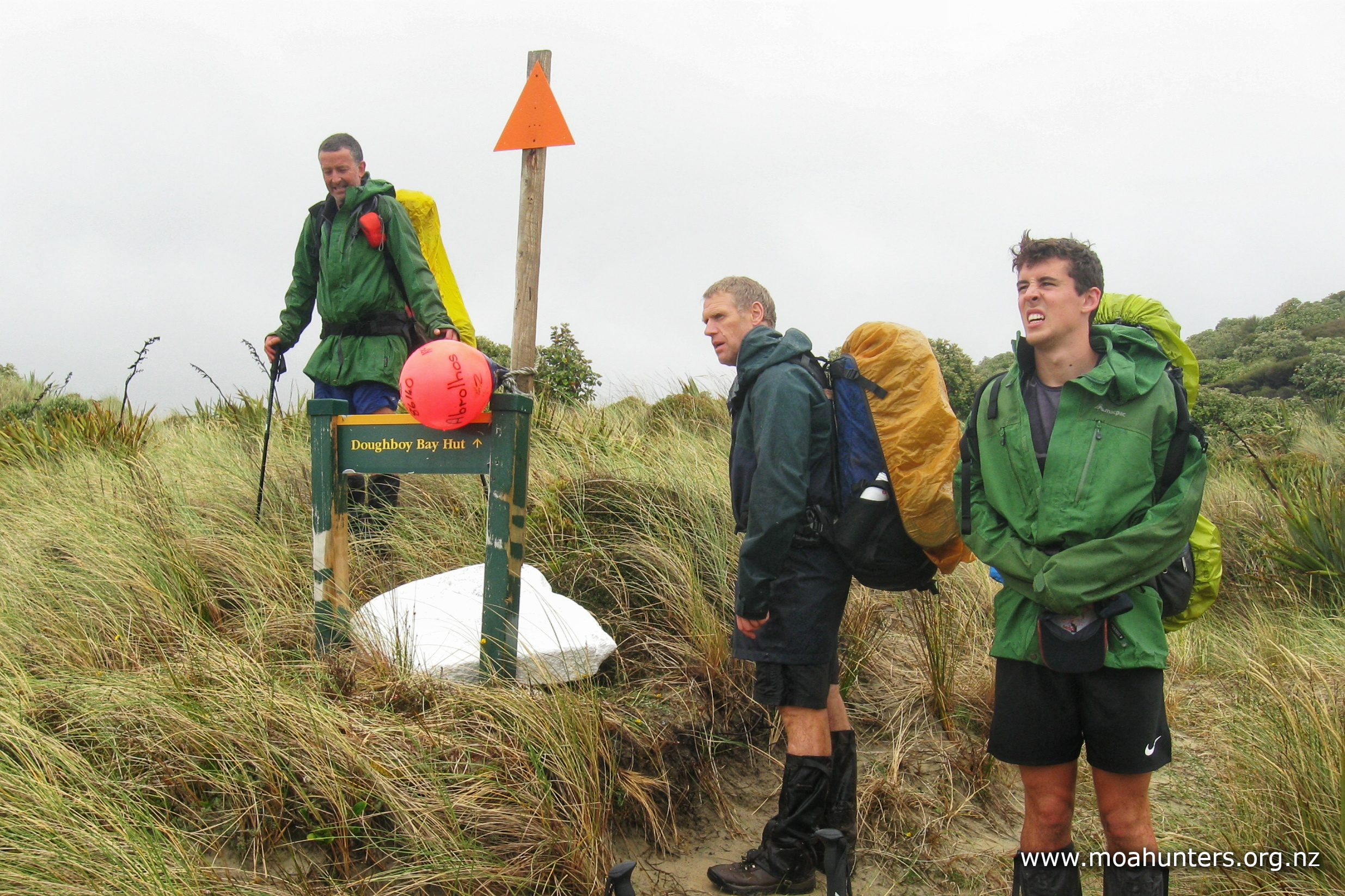
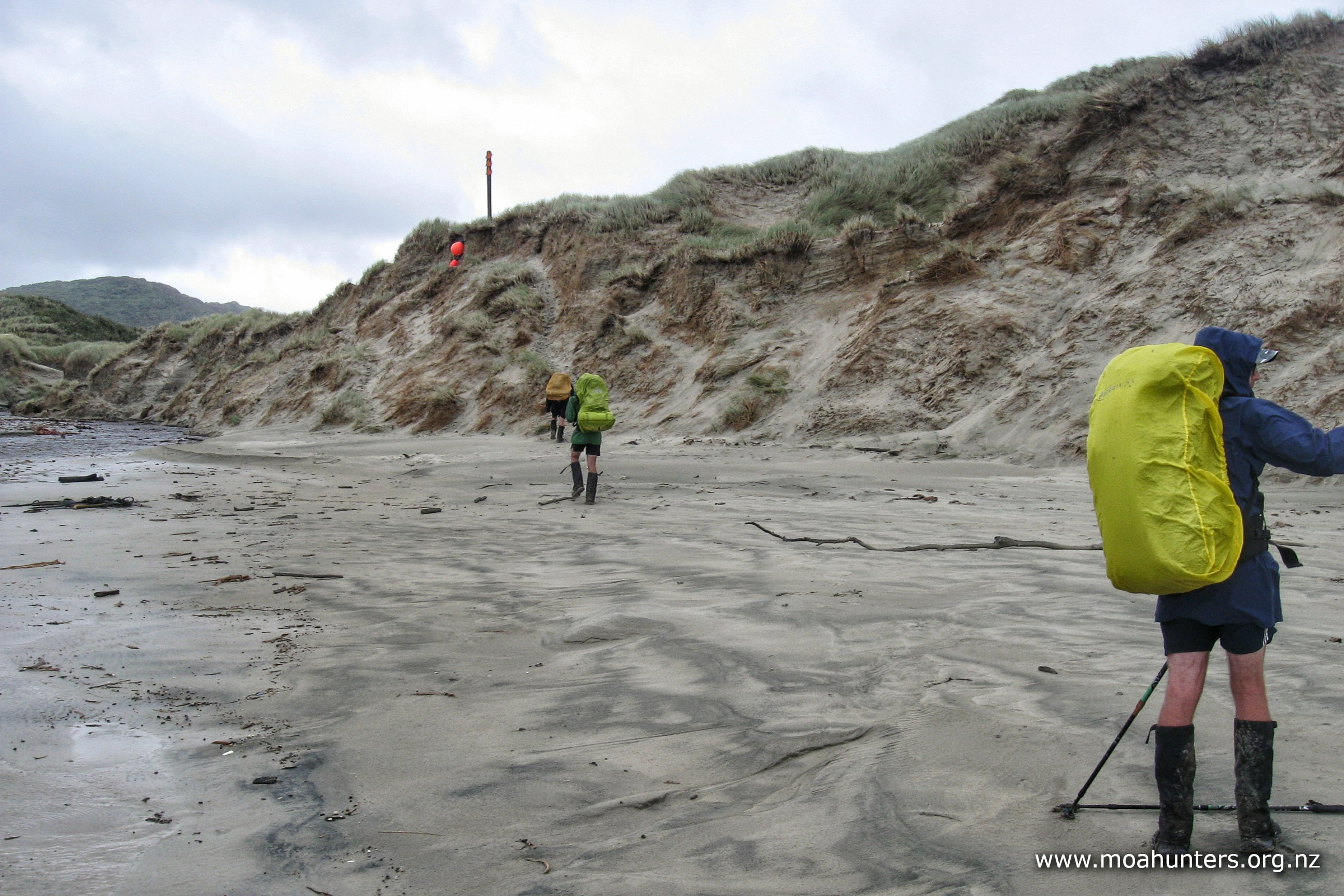
We asked where the hut was, and were told we had walked right past it! Clearly the buoys hung on poles in the dunes five minutes back should have been more obvious to us. It had been a long day and we were tired. That’s our excuse, and we’re sticking to it.
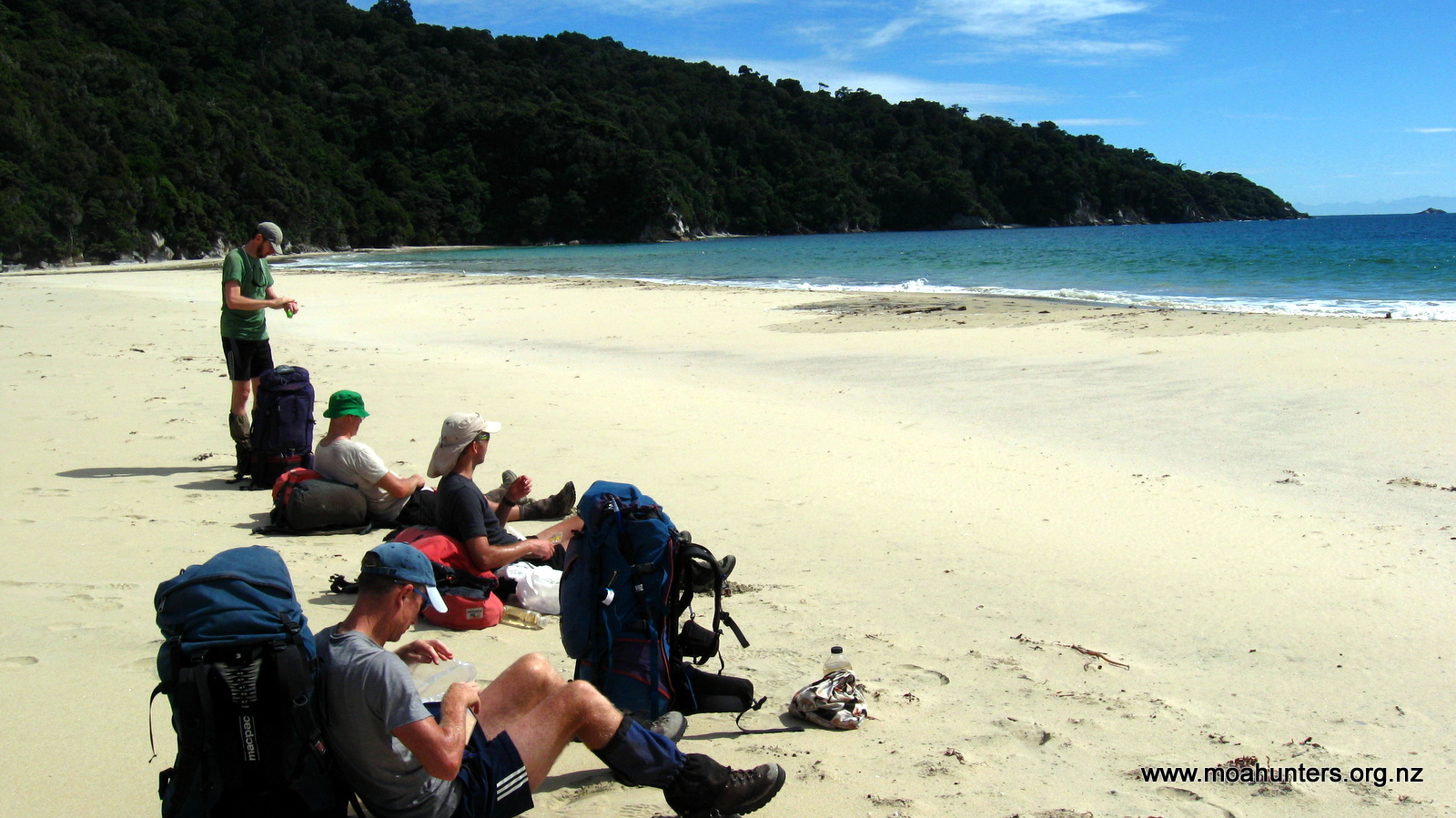
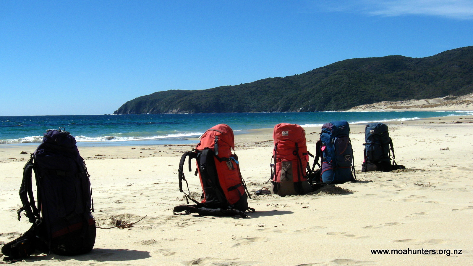
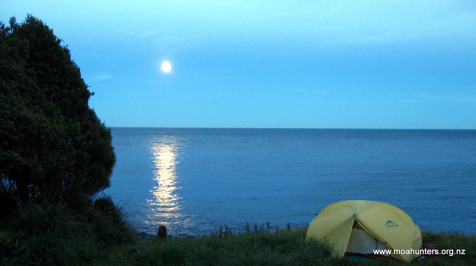
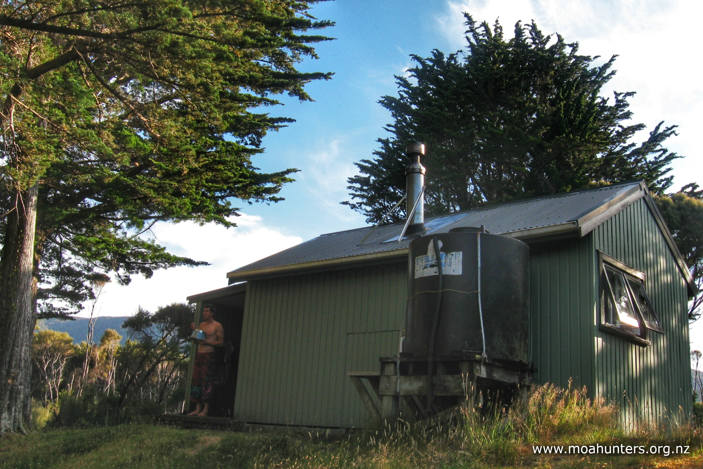
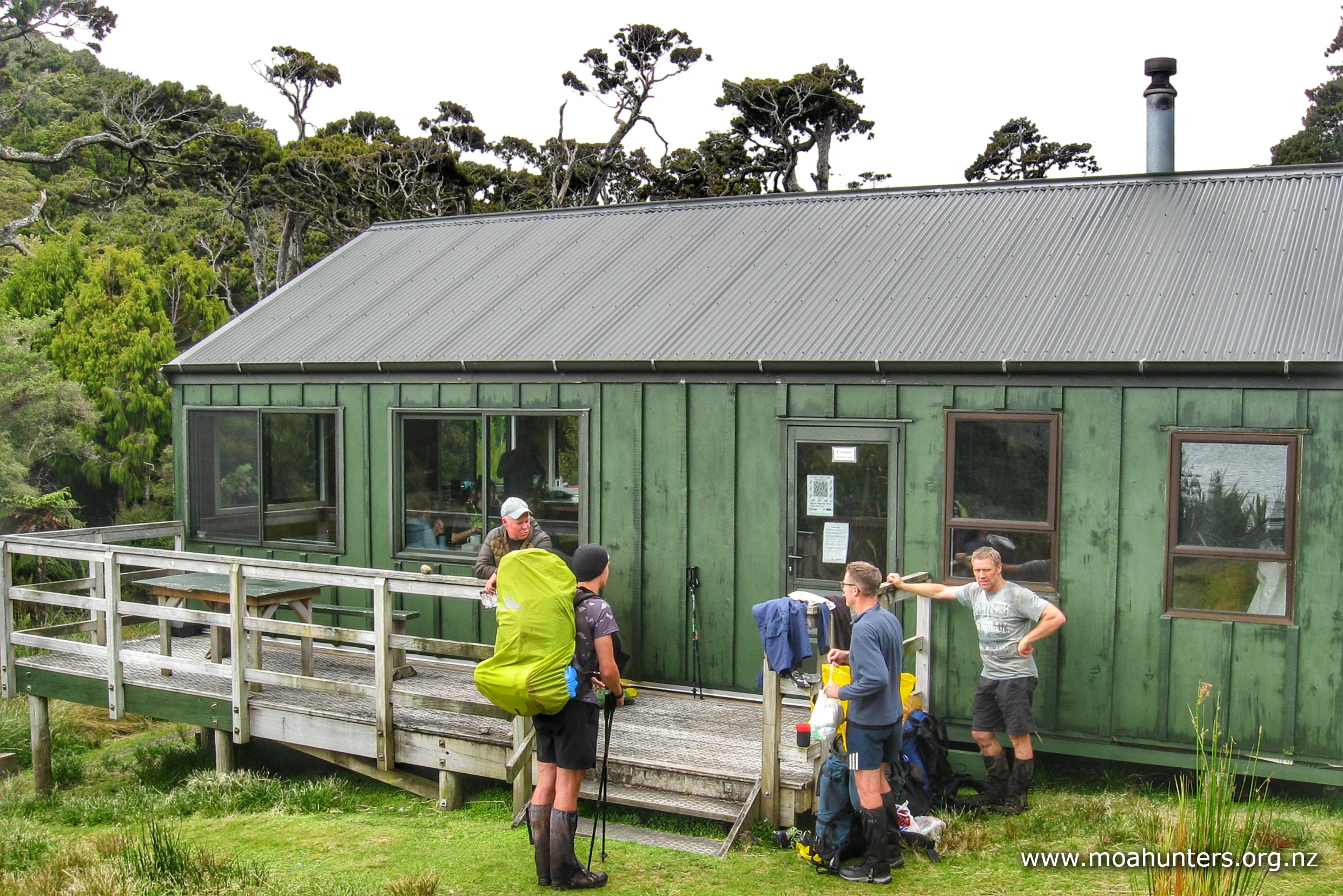
It had been nine and a half hours on the track, so dropping our packs outside Doughboy Bay pack hut felt particularly good. We ate a very nice Thai style curry rice dish for dinner, enjoying some chill time in the hut, knowing we had a lazy day tomorrow to enjoy the bay.
After eating, we went for a wander back down the beach towards the track exit, keeping an eye out for a big cave we knew was hiding in the bush. We found it quite easily, and had a snoop around inside. You could certainly shelter in it comfortably for quite some time. It is huge!
On our way back we saw three trampers walking across the beach towards the hut. It was 9:30pm by this time and just going dusk. They had left their arrival quite late! At the hut we introduced ourselves to Xander, Zoe and Alba. As all trampers tend to be, they were a really great bunch, genuinely friendly, and insisted we didn’t need to vacate any bunk space for them. Xander and Alba setup a tent out on the sand in the dunes, and Zoe bravely chose to endure Moa Hunter snoring, sleeping on the floor of the hut.
We all climbed into our sleeping bags and nodded off, only to be woken a couple of hours later by voices and movement in the hut. It had started raining quite hard, and unfortunately Xander and Alba’s tent was proving less than waterproof. They were as quietly as possible setting up mattresses in the tight space beside Zoe on the hut floor.
Day 5
WednesDay 19th January – Doughboy Bay
There had been quite a bit of rain through the night, but happily we awoke to a very pleasant Rakiura morning. There was the odd light shower blowing through, but it didn’t look too threatening outside. Clearly the predicted southerly wind change had arrived, and with it came cooler breezes and some rain. This matched the forecast we had seen just before arriving on the island, which predicted a couple of wet days mid-week, then clearing.
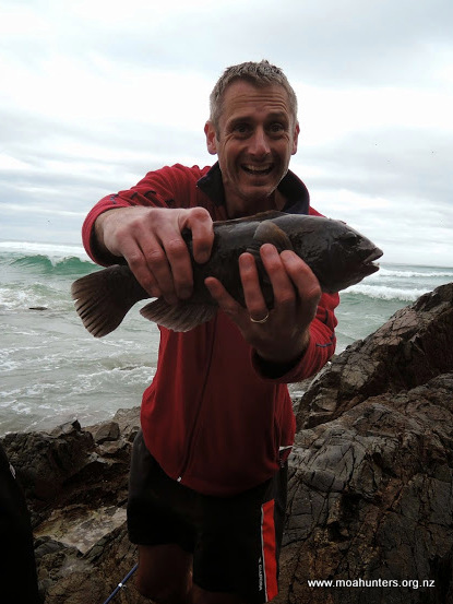
As we ate our breakfast and discussed the days plans, the weather steadily improved. We agreed that a fishing expedition would be excellent use of the sunny morning. Fishing tackle, jackets and a few snacks were gathered up. We left the hut just after 10:30am. Under a glorious clear blue sky, we made our way across the golden sands of Doughboy bay.


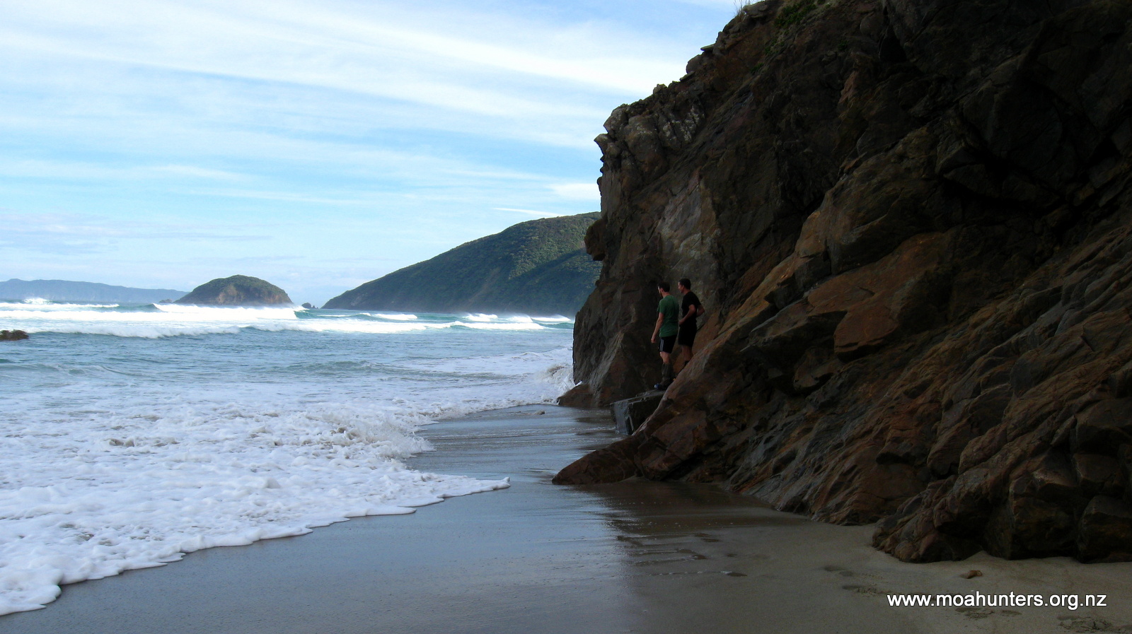
We had been told by the hunters that the best place to fish was a rocky point known as fisherman’s rocks. Who would have thought?! It is accessed via a track marked by a buoy at the north end of the bay.
There was a dead shark on the beach near the start of the track. It had been dead long enough to smell atrocious, and we lost no time scampering up into the bush away from the powerful stink.
The track to fisherman’s rocks is well walked and easily followed, with ribbons tied to trees at regular intervals making it very obvious which way to go. The only possibly wrong turn is a place where the track drops to the left and appears to head down to the coast. This is a road to nowhere – the track stays high for another five minutes or so before heading out to the rocky knob.

It takes a solid twenty minutes to walk to the rocks. During that short time we were in the bush, the weather had turned. Grey cloud had rolled in and the wind was picking up. It seemed the southerly may have some unfinished business with us.
The sheltered southern side of the rocks has large thick kelp swirling and twisting in the swell. It didn’t look ideal for retrieving fish from. John had checked out the more exposed northern side and reported it was kelpy and even less welcoming, with a large swell smashing into the rocks.
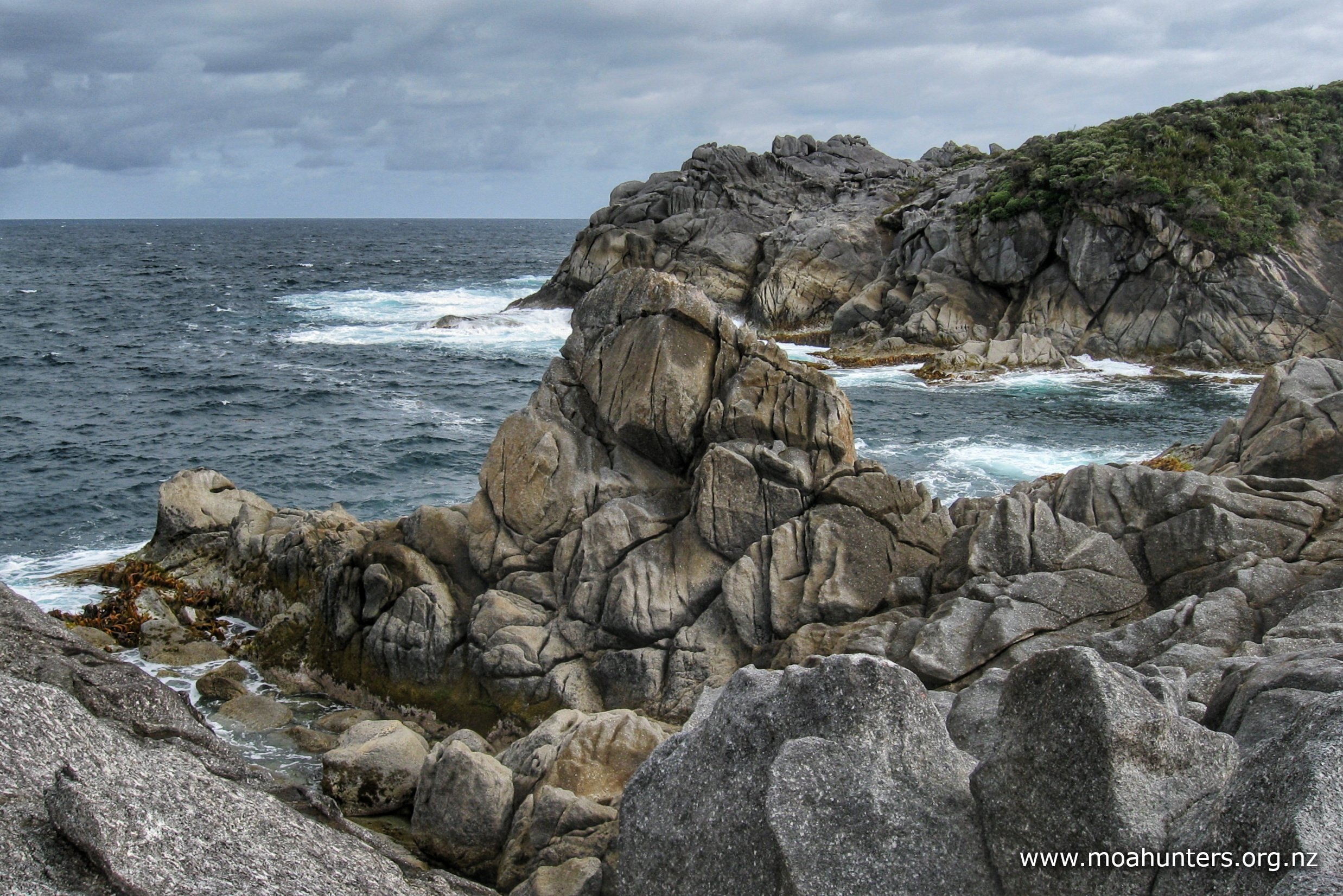
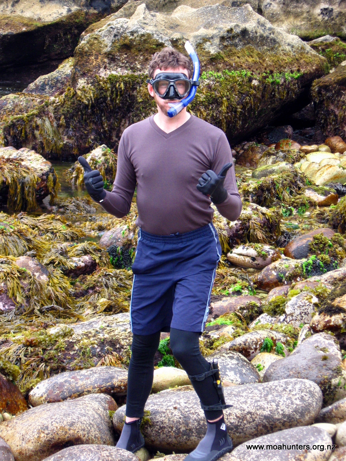
Adam decided to give the sheltered side a go, and set about rigging a softbait to his telescopic rod. Before he had finished, a large swell splashed over the rock beside him sending him scurrying backwards. A second larger swell poured more water over the spot he had been standing. This was followed by a third and largest swell that surged powerfully over the rocks completely swamping the area.
That was more than enough of a warning from the sea gods. Too many people die around New Zealand after being swept off rocks while fishing. The Moa Hunters decided fishing and paua hunting would have to wait for another adventure.
While John and Adam had been assessing fishing spots, Luke and Richard spotted a Fiordland Crested penguin nesting amongst the rocks. Snugged down in a rock crevice, it peered back out at them as they quietly snapped a couple of photos before moving on and leaving it in peace.
After some more exploring, we made our way back down the track to the hut for some lunch.
Apparently Doughboy bay was named by an American sailor, Eber Bunker, Master of the sealing ship “Pegasus”. In 1808 as the boat sailed past the bay, Bunker noted the large rounded rocks at the north head, and thought they looked like doughboys – the American name for dumplings. He named the bay after them, and the quirky moniker has stuck.
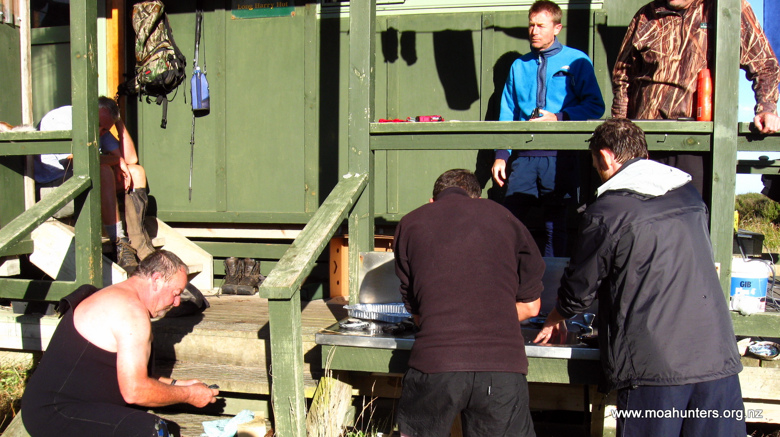
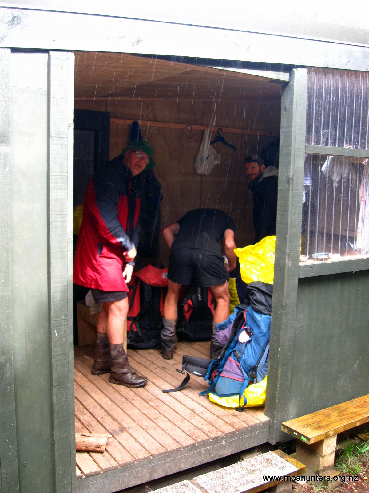
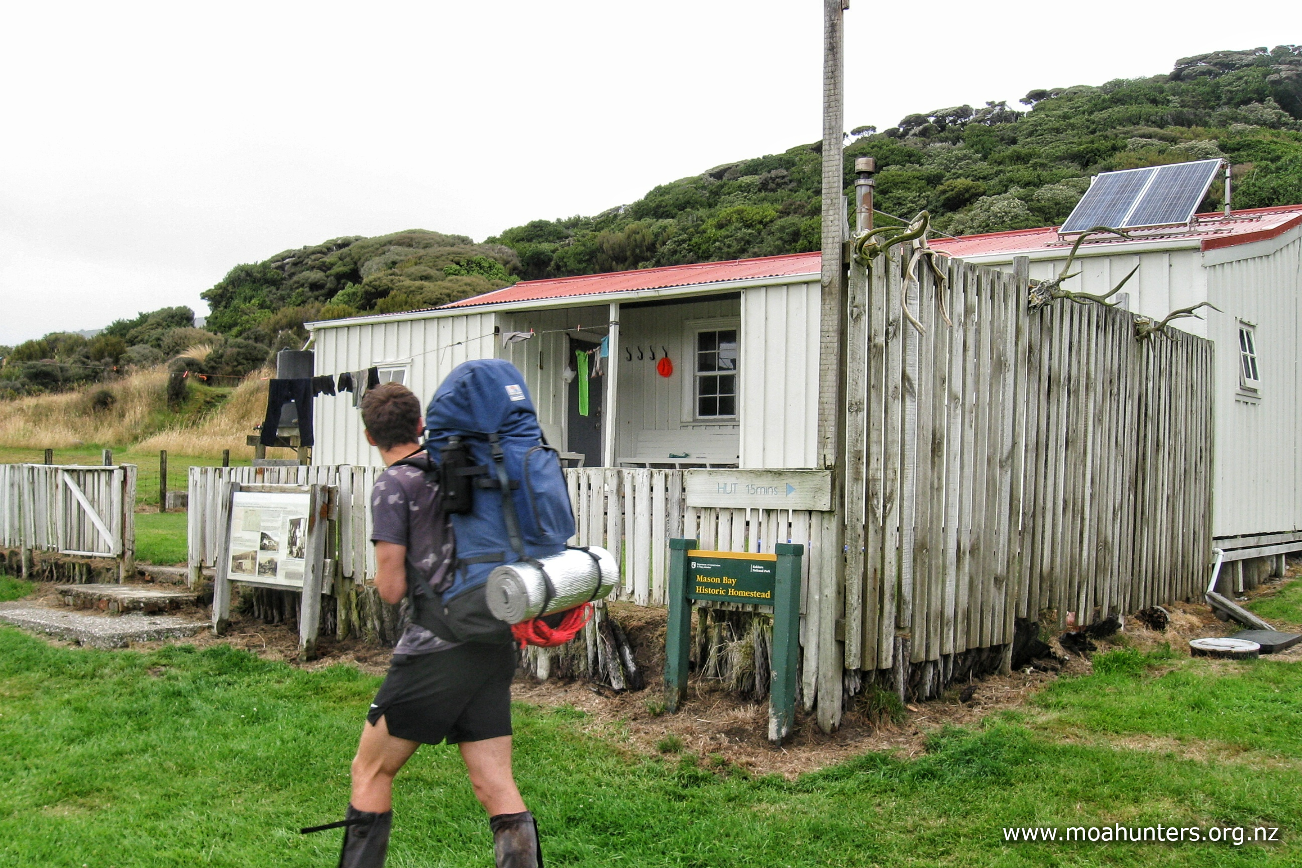
At the hut, we enjoyed a little downtime, laying back on the bunk mattresses and generally talking bollocks. Doughboy hut has an efficient four up, four down bunk platform arrangement with the usual table, bench seats and logburner in the main space. Slightly less usual is the covered entrance area with lots of space for packs, boots, jackets and other items that usually clutter the inside of a hut. More huts should have this addition, although the sealion-proof gate is probably optional in most cases!
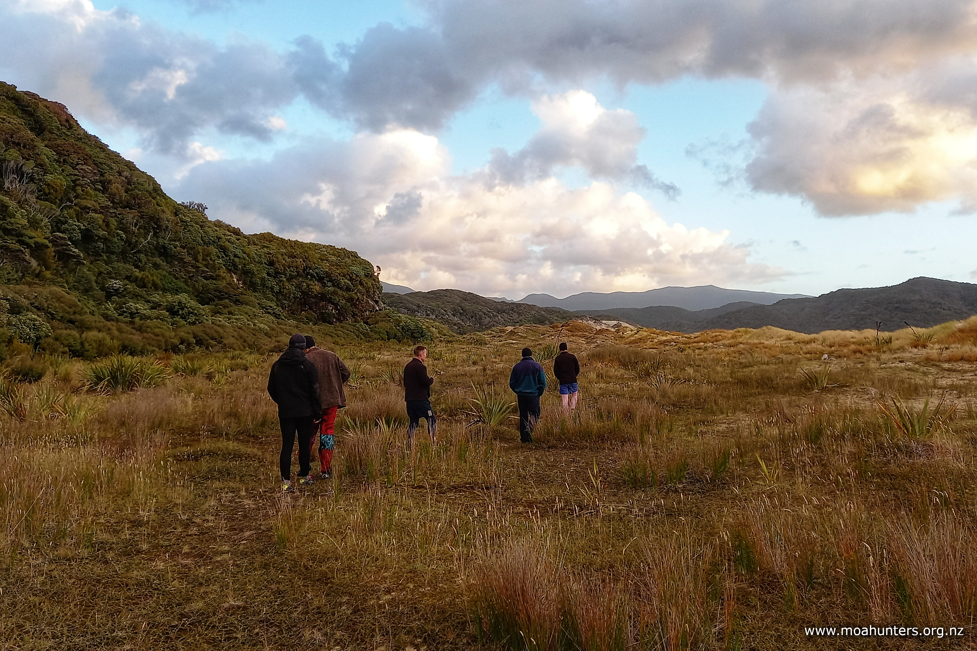
Following lunch, we decided to explore the south end of the bay. In cloudy and cool conditions, we strolled down the beach, enjoying the palpable remoteness of the bay.
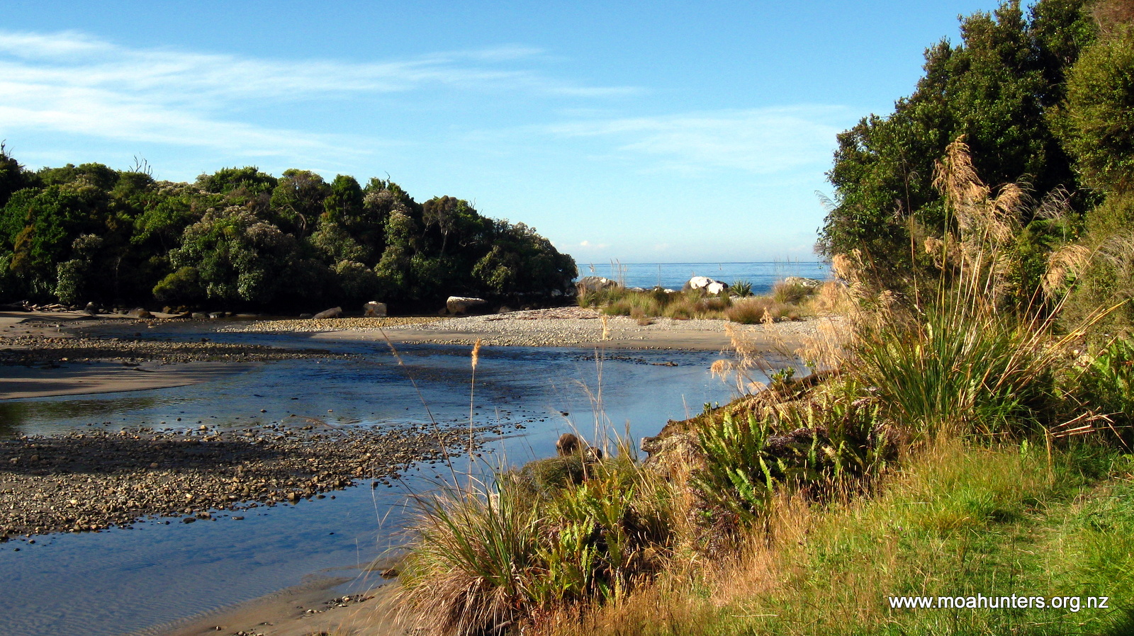
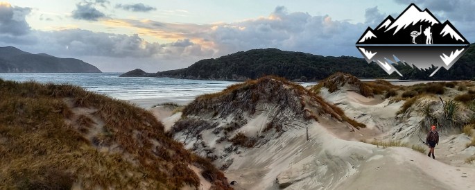
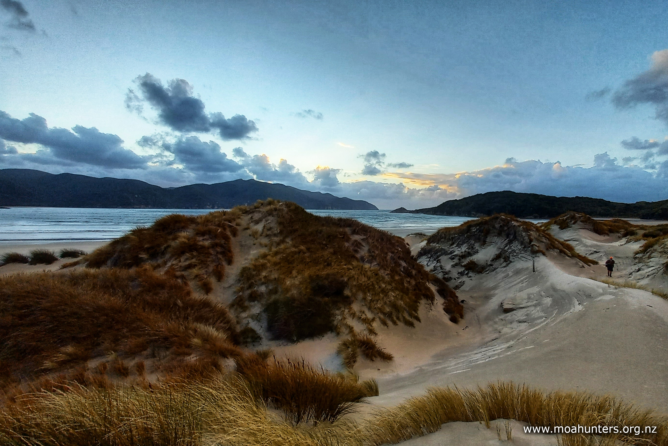
Close to the hut, the dunes that keep the often wild sea at bay are typical of Rakiura: gold coloured loose sand, held in place by hardy grasses and spindly horizontal growing creepers. This all changes at the southern end of the bay at Doughboy creek. Here the dunes are steep, streaked with colour and lined with cracks and ridges, they look more like sculpted rock than sand.
We clambered up the side of one, seeking out a higher vantage point to enjoy the sweep of the bay. Underlying sandstone rocks push their backs up to the surface of the dunes forming abrasive rocky ridges in the sand for us to walk across. Below us the Doughboy creek snakes out of the dunes, forming a sort of inky lagoon before sliding out to sea.

It is well worth the short walk to stand up on those dunes. Even in the grey overhead conditions, the varied sands of the bay made for a beautiful tapestry of colours at our feet.
On the walk back, we took the time to pick up items of plastic rubbish from the beach. It was slightly depressing to see that even on one of New Zealand’s most remote beaches, waste from boats and the mainland was being swept onto the otherwise pristine sand by the tides and wind. We collected plastic bottle tops, sections of fishing net, pottles, margarine tubs and other broken containers. The rubbish was added to a large sack of previously collected plastic that sits in the dunes not far from the hut.
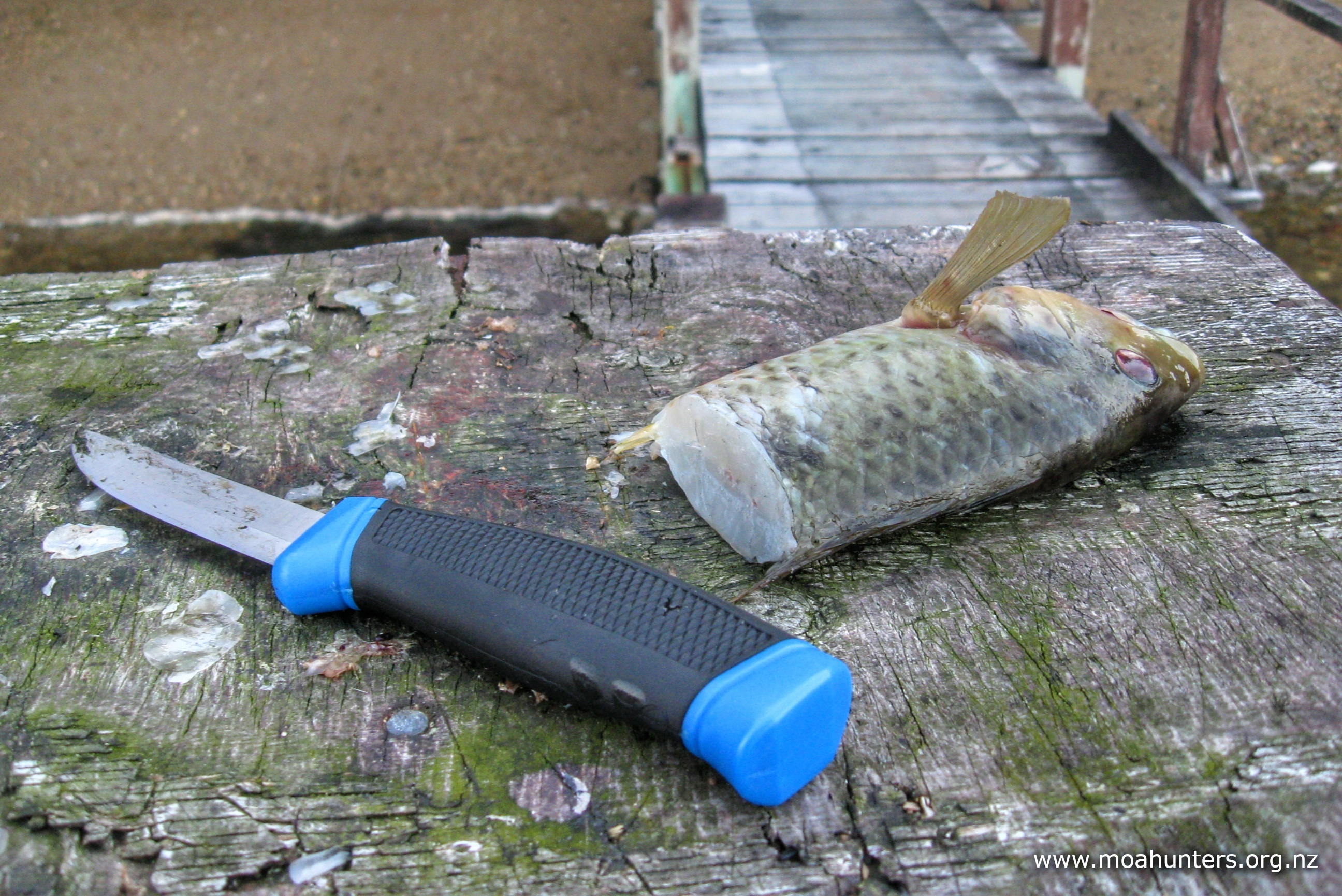
After dinner, which included a delicious entree of freshly baked bread and thinly sliced paua in a garlic white sauce, we went kiwi spotting.
Despite our chosen vantage points on the dunes being surrounded by kiwi prints and having excellent views of the bush they would likely emerge from, we were not rewarded. I guess the Tokoeka were all off doing something else that evening…
About an hour was spent lying on the sand in the dunes until the weather started to look sketchy. Dark clouds were gathering at the head of the bay. Some Moa Hunters made the dash back to the hut in time. Others got rather wet on their return as a squally and heavy downpour swept into the bay.
During the night poor Xander and Alba had to abandon their tent yet again as heavy rain set in. This time we got up to help them, shifting the table and bench seats away to make more space for them on the floor.
Day 6
THURSDay 20th January – Doughboy hut to MAson Bay hut
Xander, Alba and Zoe were up bright and early, keen to be on the track in good time. No doubt not wanting to repeat their late hut arrival time on this leg to Rakeahua hut. They waved goodbye and were off around 7am.
We were somewhat slower, finally wandering out onto the beach under a heavy overcast sky just before 9.00am.


We stopped for a chat with the hunter family at the top of the bay. They would be walking to Mason bay today as well, but clearly wouldn’t be leaving for a while. Their teenage son was still asleep in his tent. Having flown into Doughboy, they were a little concerned about how much they would be carrying out! We wished them luck, and they wished us the same as we headed off up the track.
The climb out of Doughboy bay is not steep initially as it follows a small stream up a gully. A wire across it makes the crossing to the true right an easy couple of steps. No doubt it would be a little trickier if the flow was higher than the day we crossed.
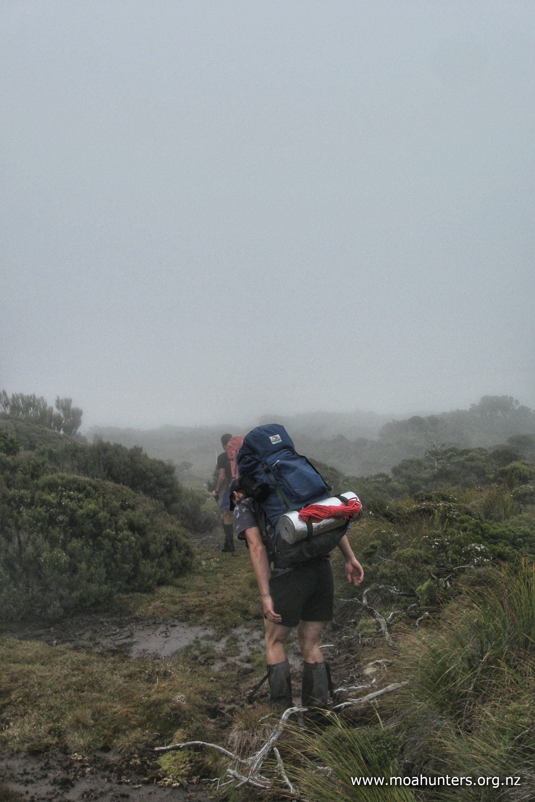
Beyond the crossing, the track gets steadily steeper and a lot messier. What was a relatively well formed trail degenerated quickly. We found ourselves battling muddy pools, slippery roots and awkward rocks. Progress slowed considerably.
We did have a moment of excitement on the ascent as Logan spotted a kiwi. It was a fleeting glimpse as it dashed off into the ferns, but a sighting nonetheless!
As we neared the top of Adam’s hill, the canopy height lowered and we became aware that weather conditions were not getting any better. Passing drizzle and showers kept things damp, and a strengthening southwest wind carried with it a keen chill.
We stopped for a scroggin break in a relatively sheltered spot where low manuka and scrub offered some protection from the elements.
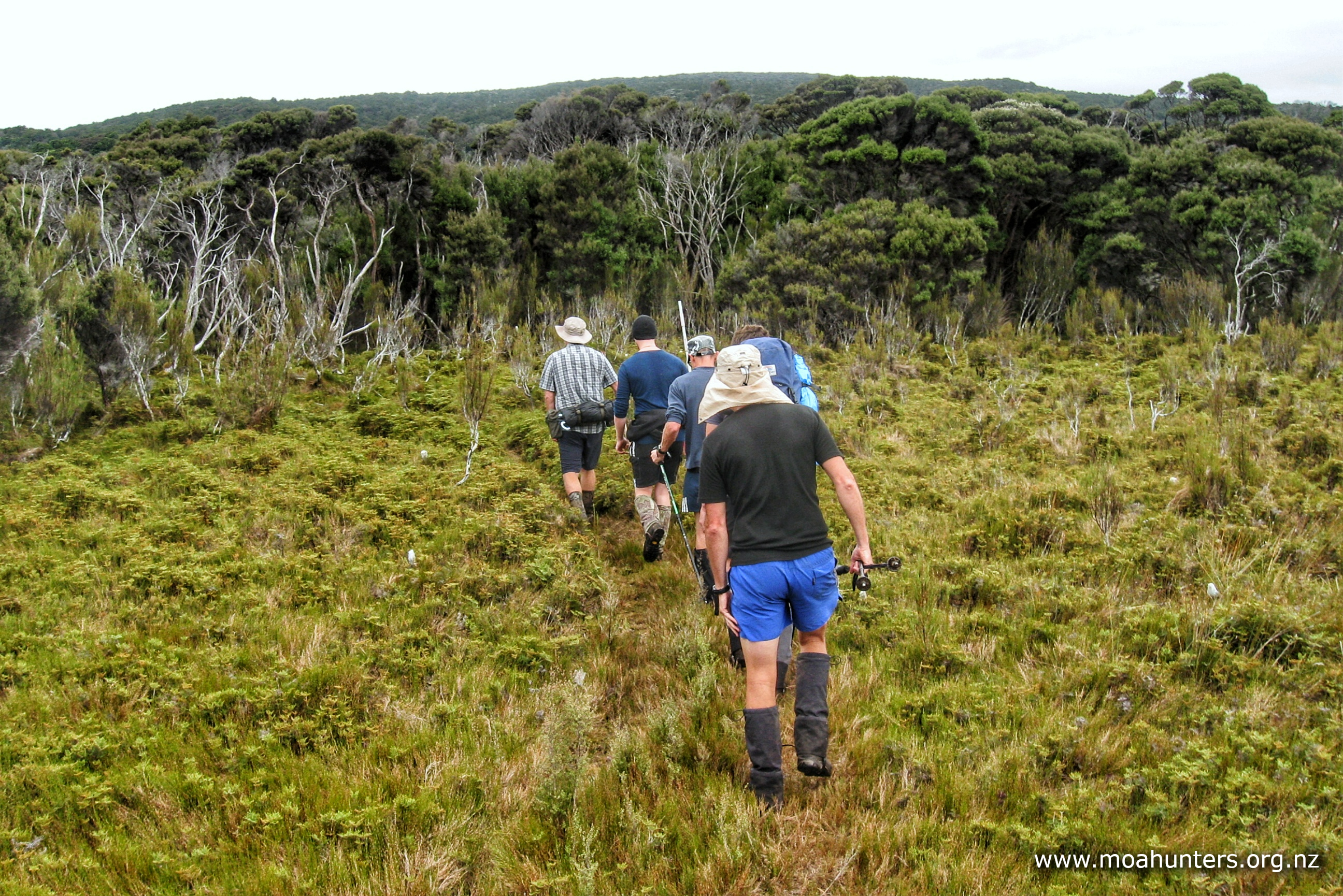
Across the tops, conditions were sometimes boggy and occasionally messy, but not especially unpleasant. We were easily able to find ways to skirt the worst of the wet areas. On a better day it would have been quite an enjoyable section.
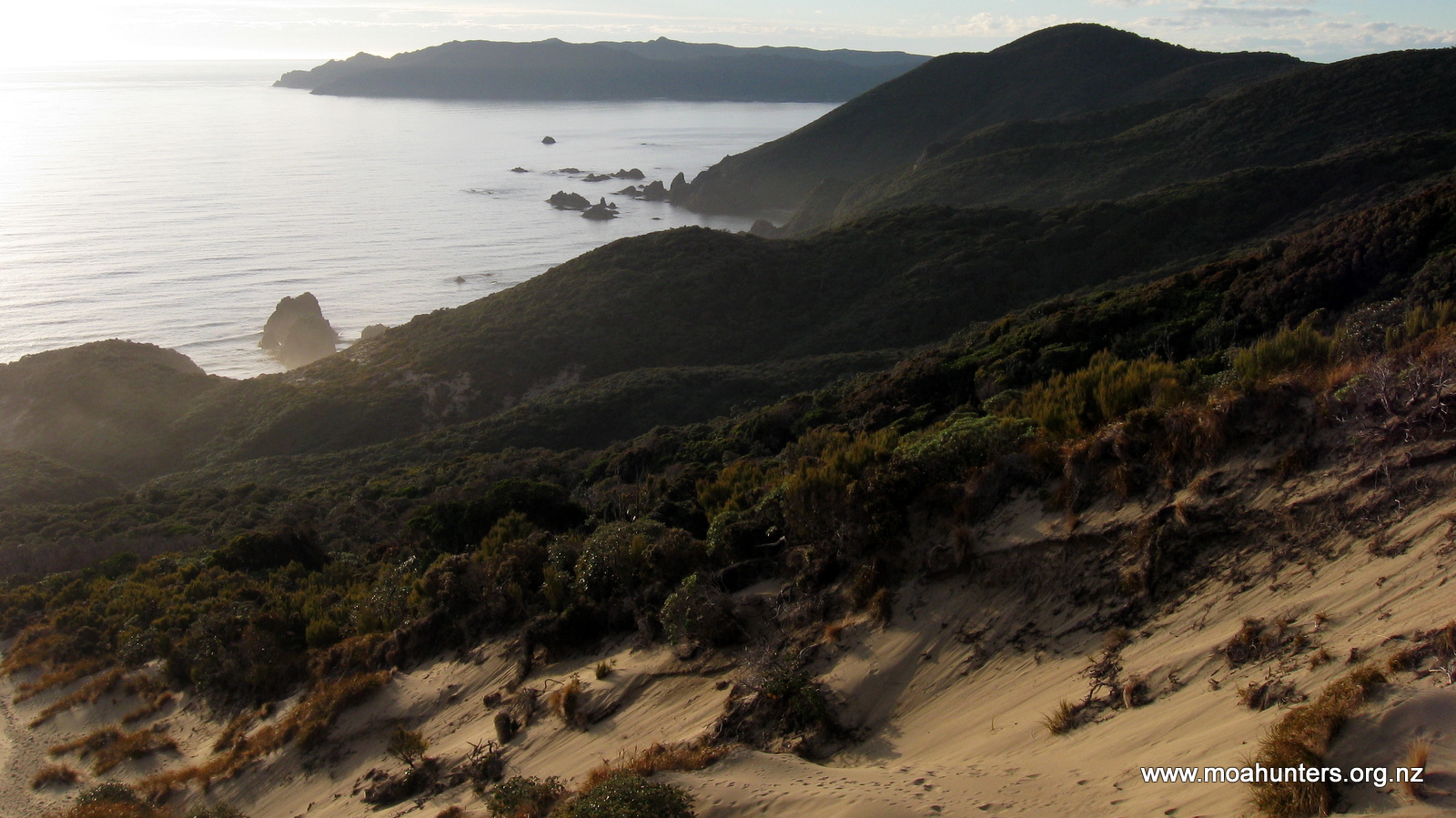
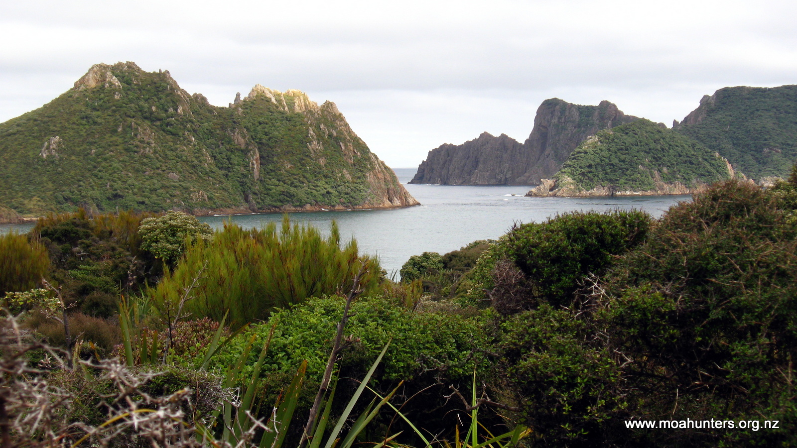
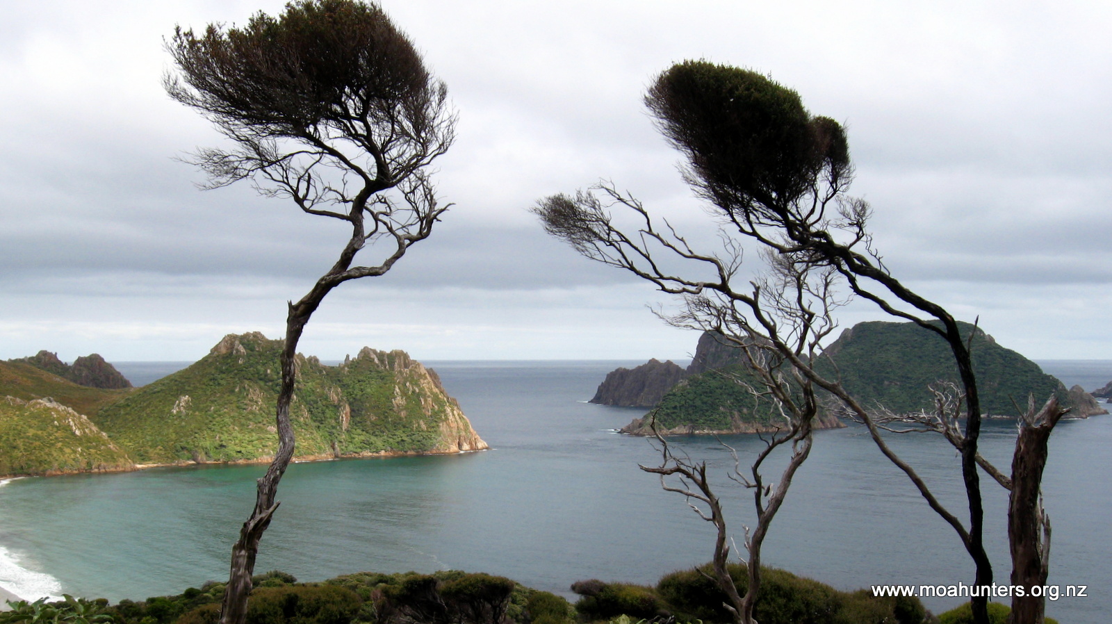
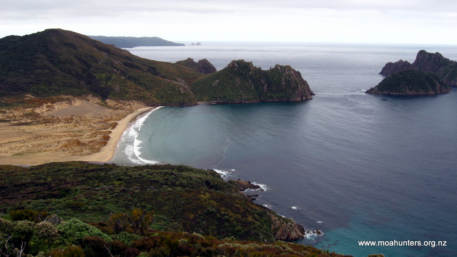
Like Doughboy, Adam’s hill has a couple of false summits before you reach the actual peak, which has a distinctive group of large rocks. Climbing up to these is worth the short diversion. From this spot you get the best views back towards Doughboy bay, and ahead to Ernest islands and the huge sweep of Mason bay disappearing into distant misty rain. While our view was a little obscured by cloudy conditions, we still enjoyed the vista. Somehow the wild weather is befitting of Rakiura Stewart Island – we certainly did not begrudge it. However, the very cold breeze meant we did not linger long either!


Dropping off Adam’s hill was equally as nasty as the Doughboy hill descent two days earlier. For the first half hour we battled down steep, slippery, muddy and awkward conditions. Large rocks, slippery roots and vertical drops seemed to go on and on.

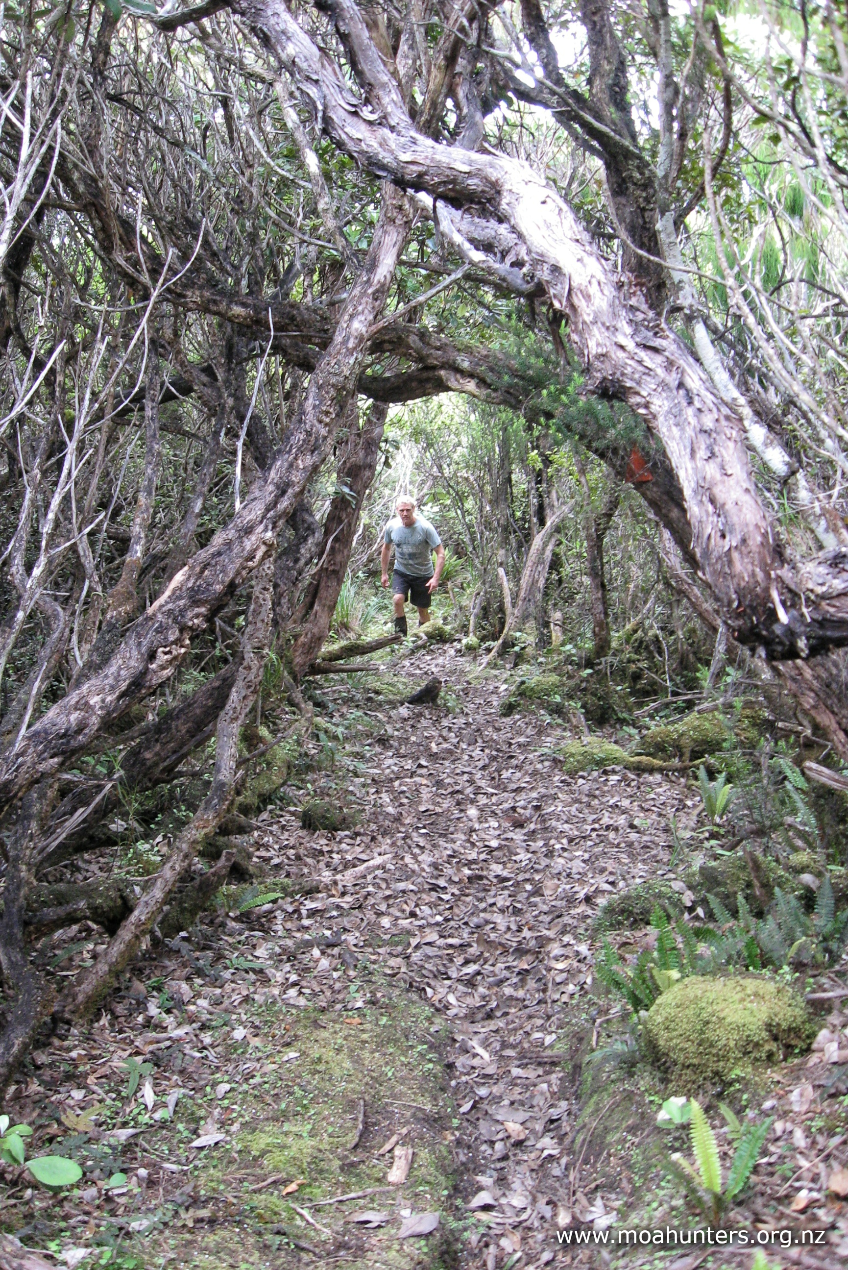
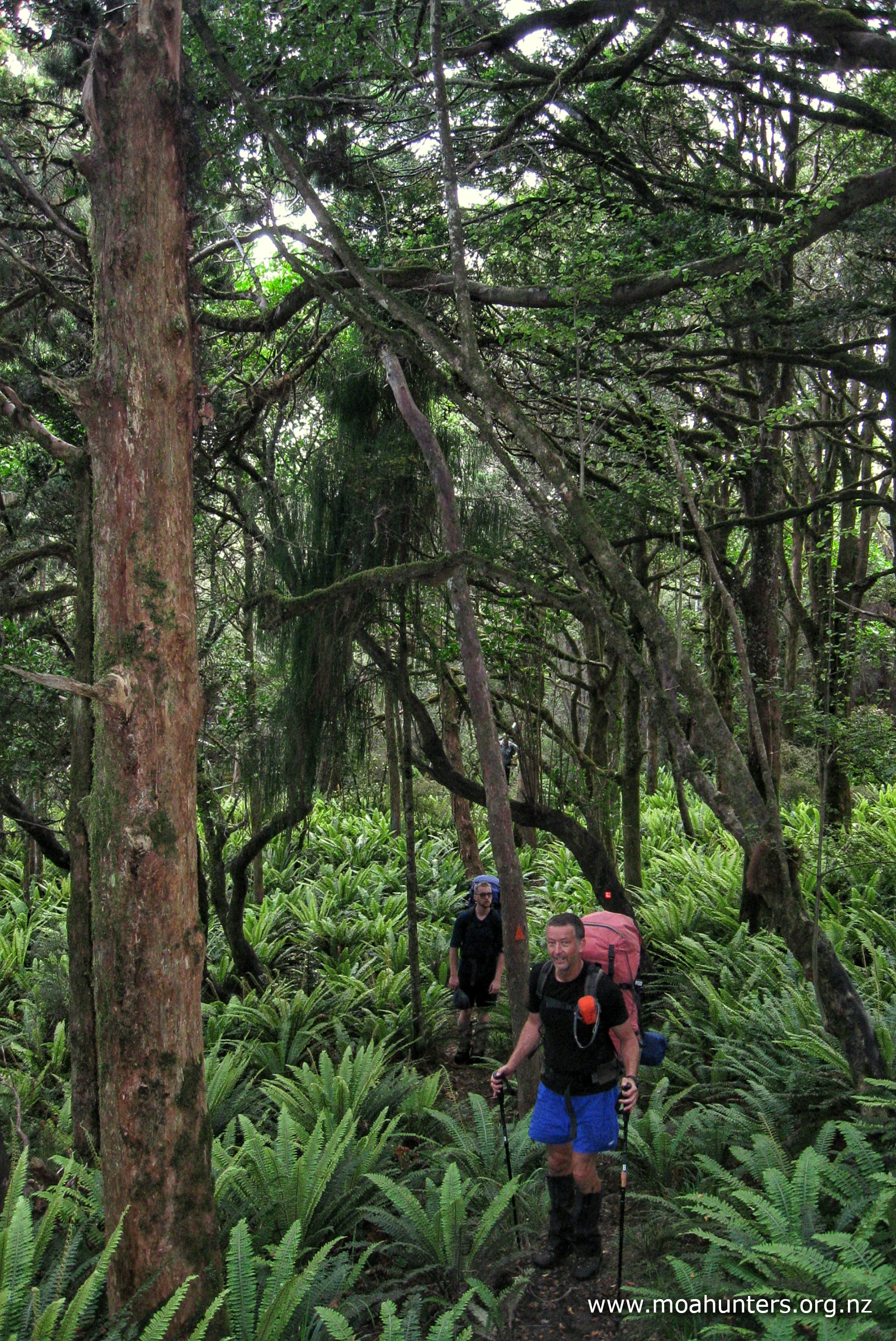
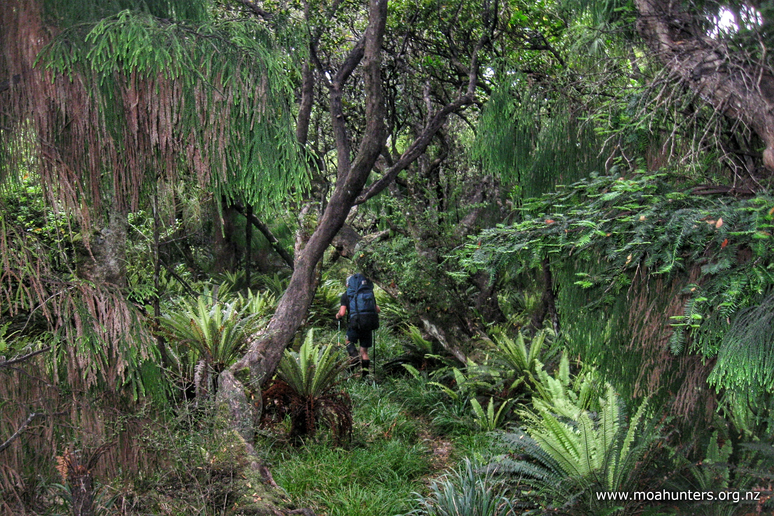
Beyond that nastiness, our surroundings changed, and for the better. Initially dropping back into low podocarp forest, we were soon surrounded by towering ancient rimu and a rich green understory of ferns and moss-covered fallen logs. It felt so nice to walk freely again in such beautiful forest.
It was about 12:45pm when we found ourselves a good spot to grab some lunch. Unfortunately, as we settled down and began eating, light rain began to fall. Moa Hunters love their lunch breaks, and we all found the change in weather irksome. Slightly grumpily we quickly ate the remains of our lunches and packed up to avoid the possibility of getting very wet if the weather got worse.
Beyond our lunch spot the track meandered through what looked like prime kiwi country. We saw lots of telltale beak drill holes, but again no actual kiwi.
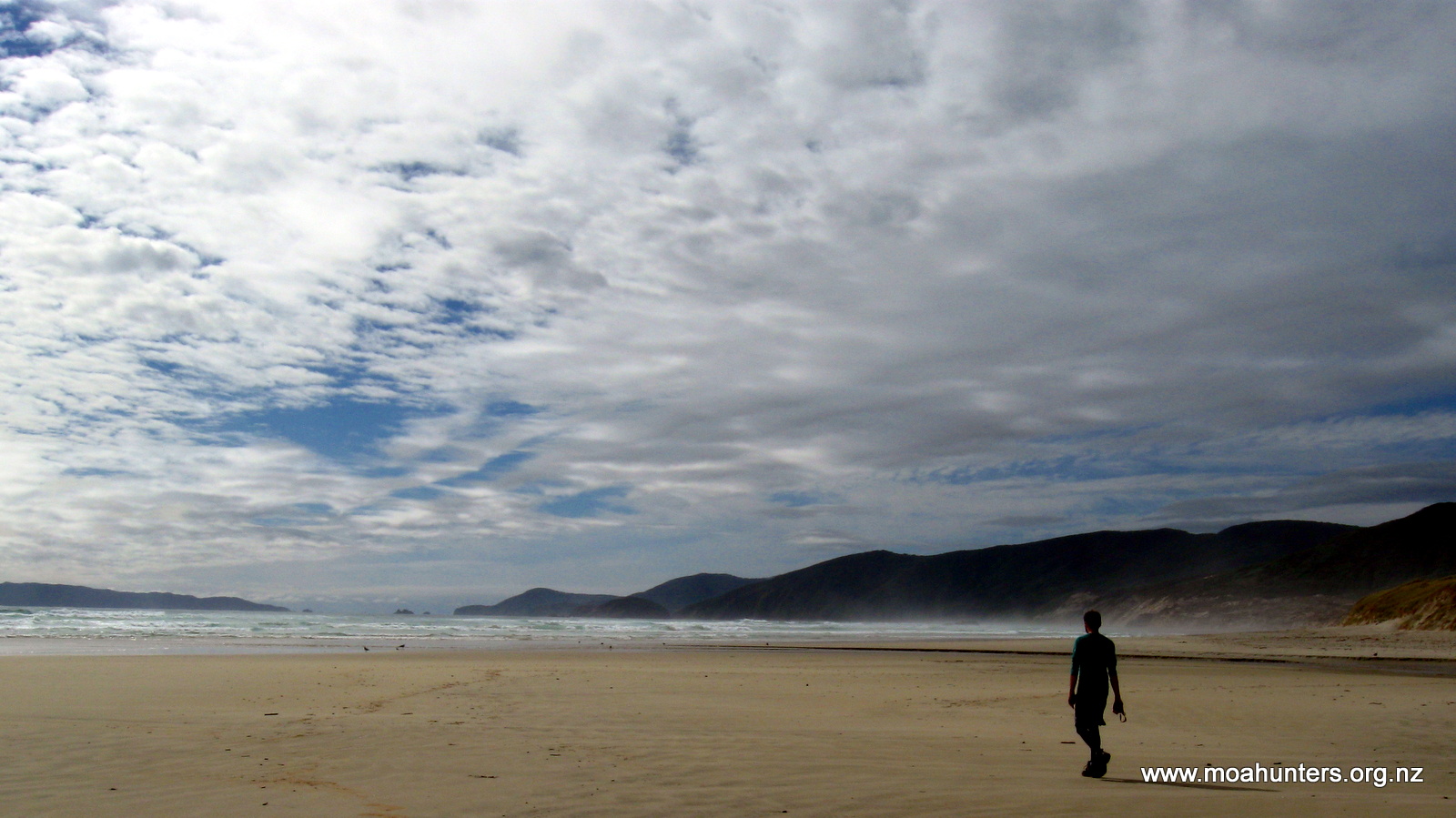
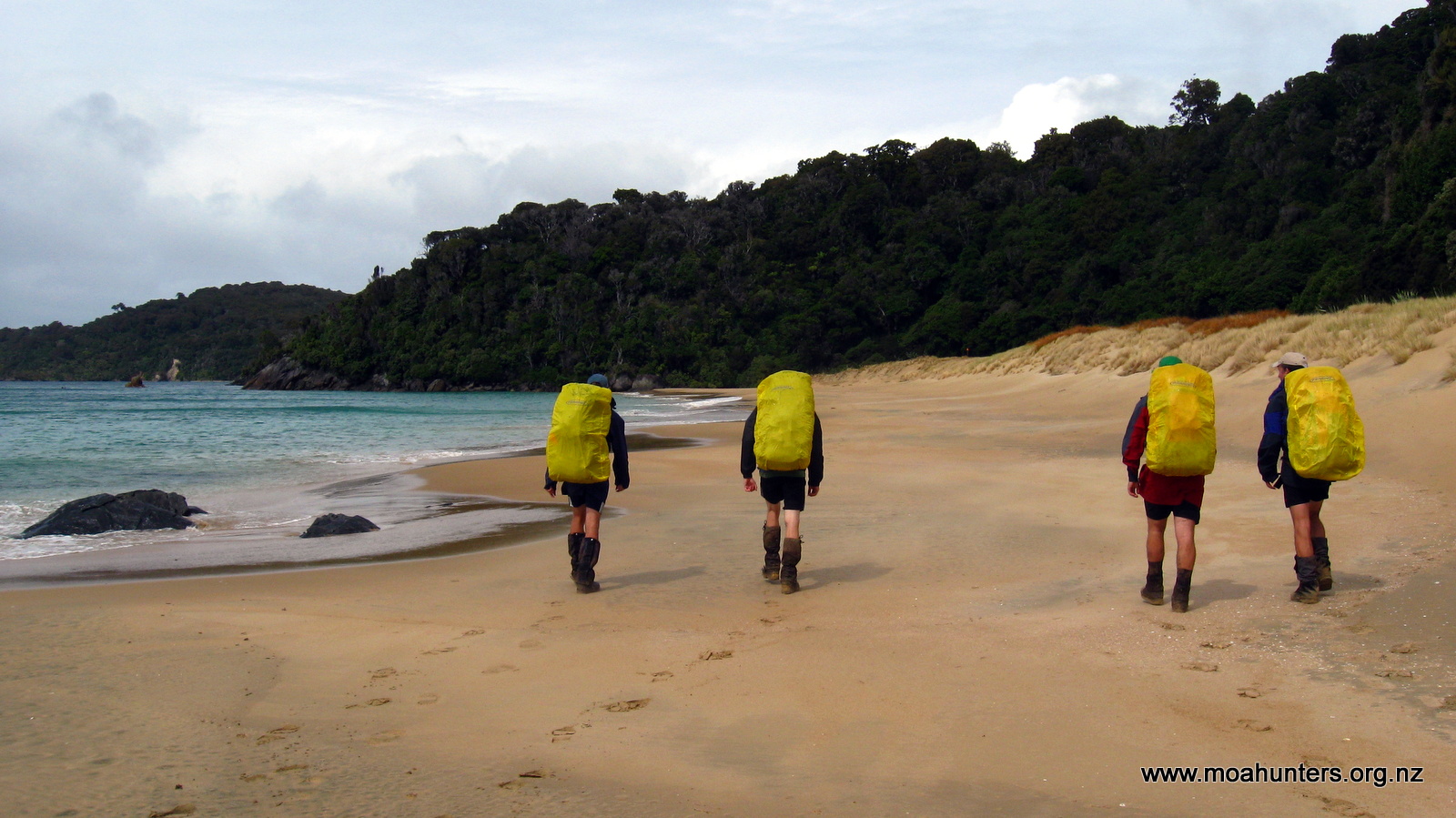
Not long after 2.00pm we got our first look at Mason bay. We had noticed sandy banks in the forest some time earlier and had guessed we couldn’t be far from the coast.
Rather than heading straight for the sand, the track takes a surprising turn about 100 metres off the beach. It turns parallel to the coast and weaves through the bush for a good twenty minutes. On the day we were there, this was a good thing as this kept us out of the worst of the weather for a bit longer. Possibly the beach directly below where the track would logically exit is inaccessible at high tide, hence the diversion farther up to where the beach is much wider.
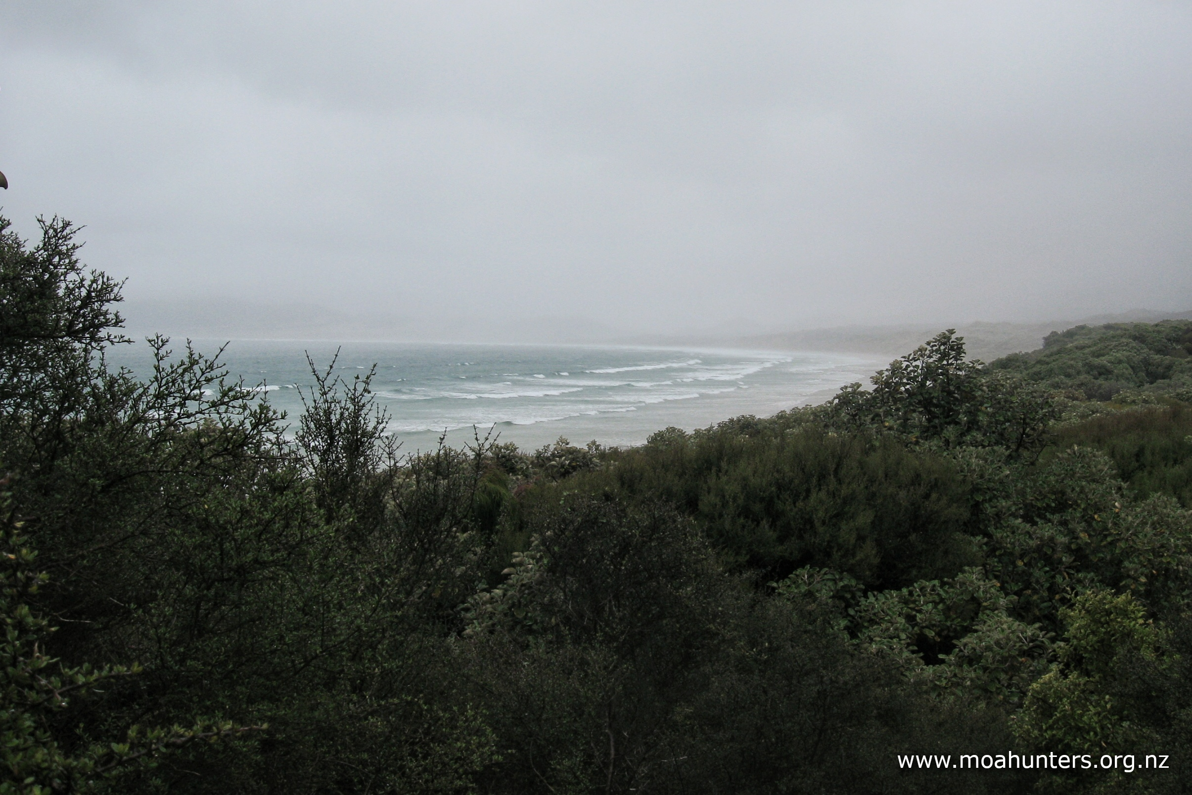
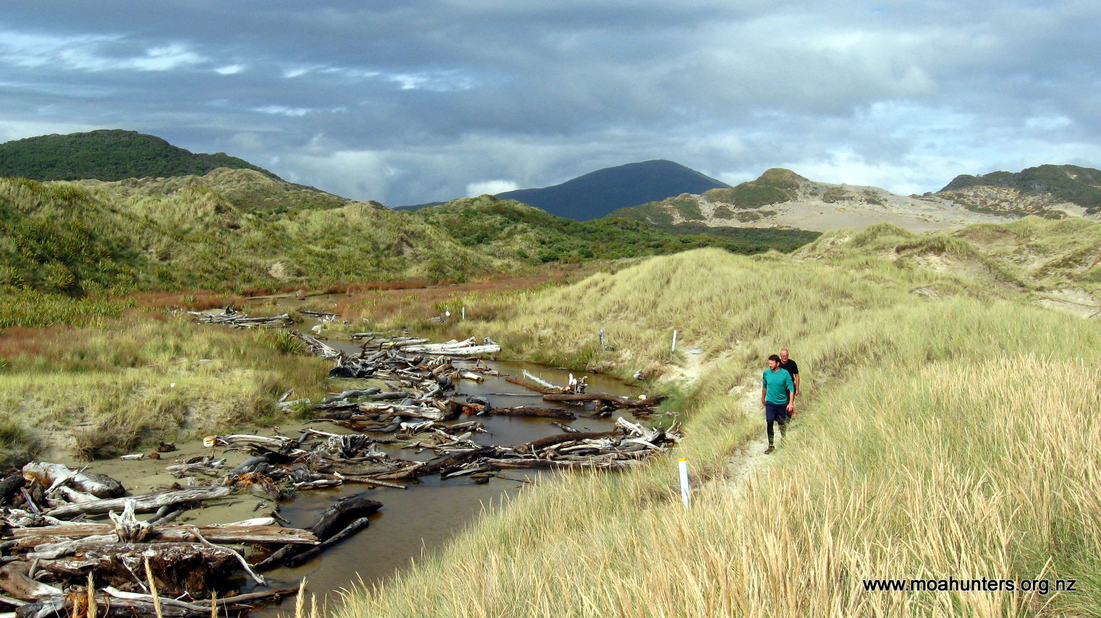
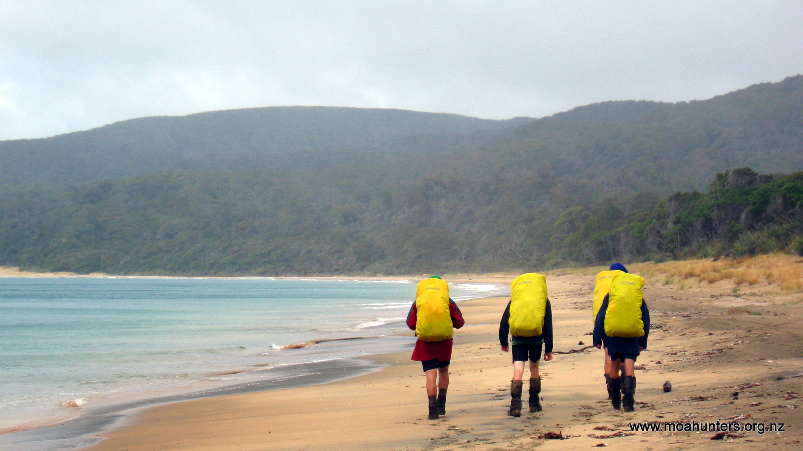
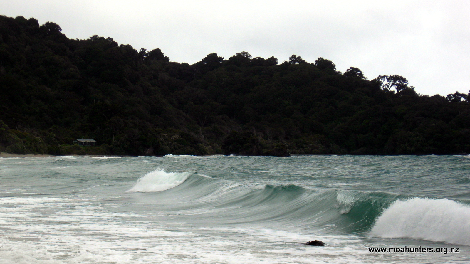
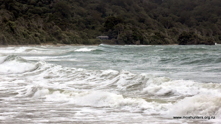
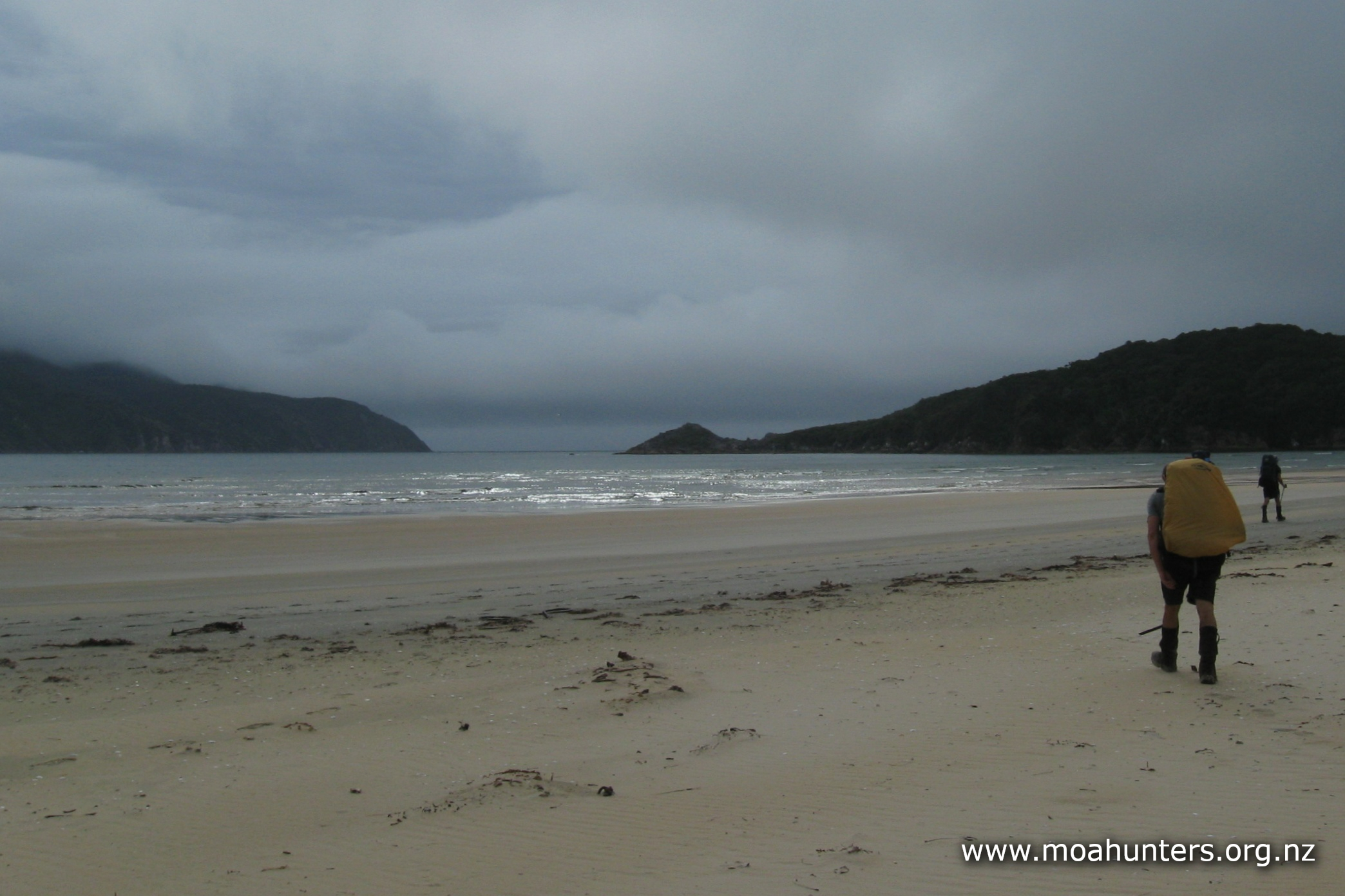
Out on the sand, the weather was rough, but at the same time kind of exhilarating. The southwest wind was whipping fiercely down the beach, bringing with it alternating squalls of drizzle and heavy rain. Fortunately the wind was at our backs. Walking into it would have been exceptionally unpleasant.
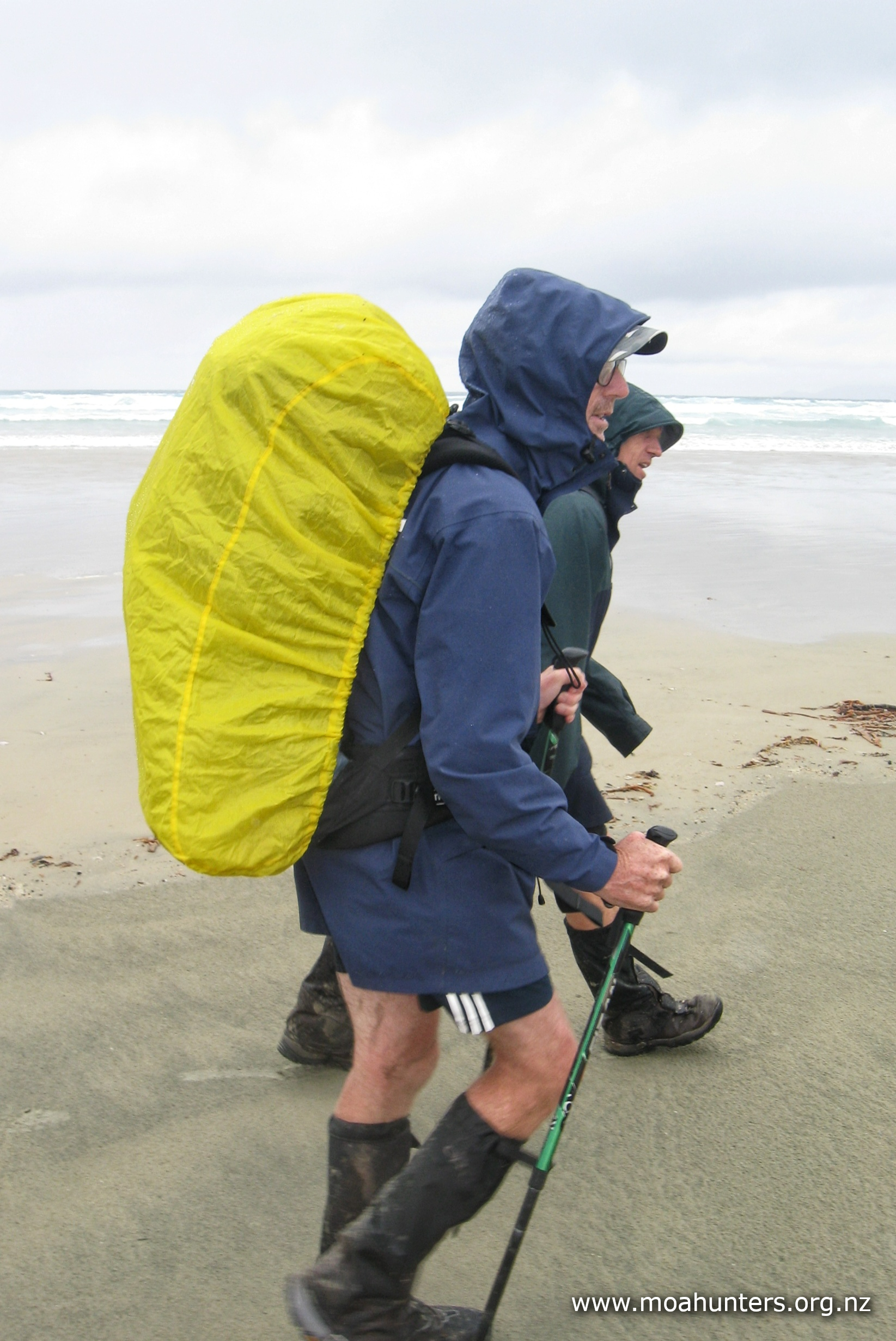
We knew we had a long walk ahead of us on the sand. With a strong tail wind, we marched along at good pace. The sou’wester whipped and tugged at our jackets, and regular heavy showers pelted furiously at our backs. The bay looked wild and impressive. The sea was being whipped up by the frenzied wind while dark clouds roiled overhead. It was easy to enjoy the surroundings despite the atrocious weather.

It took us an hour and three quarters on the beach to reach Mason bay hut. This despite an accidental diversion up a track to a hunters hut that we mistook for the Mason bay track. We were pleased to reach the actual track in, and follow the marker buoys in through the dunes.
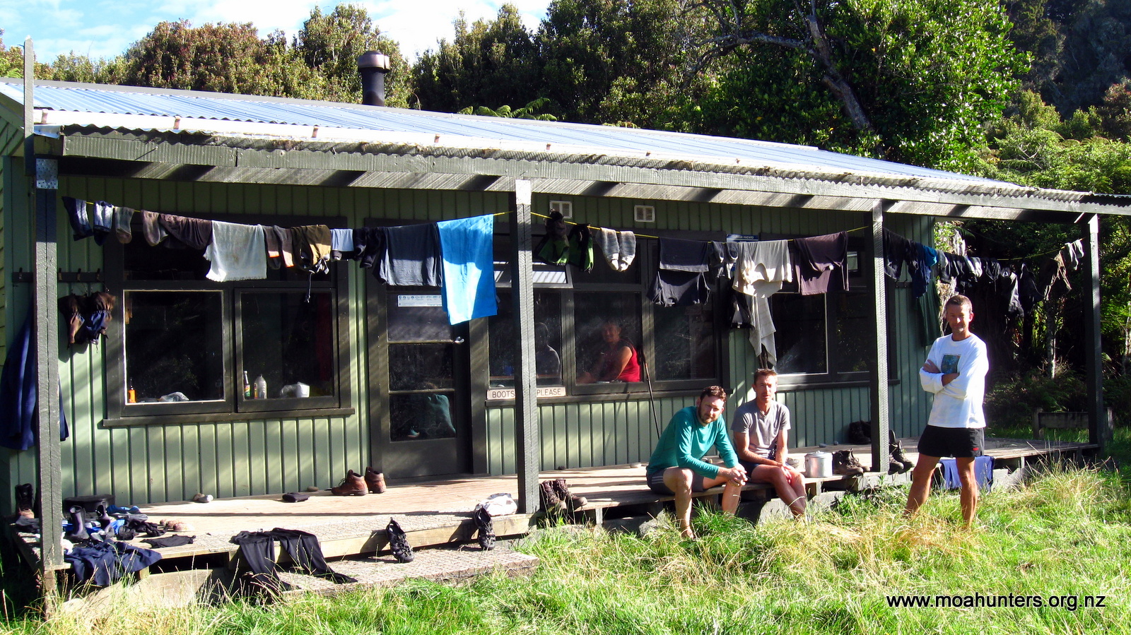
There were six others at the hut. We quickly got chatting to Guy, Clare, Marianne and Will. Guy and Clare are regular visitors from the UK who have walked many of the tracks we have, and many we have not! Coincidentally they had been looking at our website just a couple of weeks earlier. They were quite surprised to actually bump into us!
Young Will became a benefactor of our “grog log” dessert that night. He seemed very pleased to share some with us.

That evening Adam, Richard and John went out kiwi spotting. Following advice from Evan, a regular at Mason Bay, they walked twenty minutes up Freshwater hut track. No kiwi were spotted on the way, but coming back a kiwi camouflaged at the edge of the track was accidentally spooked. It careered out from beside Adam, barely avoiding crashing into Richards legs before dashing into the bush. They really are hilarious looking when they run!
Day 7
FriDay 21st January – Mason Bay hut to Freshwater hut

The Moa Hunters were firmly locked in first gear for most of the morning. We had a very easy walk out of Mason Bay in pretty reasonable conditions. We were in no hurry, and had an enjoyable morning chatting to our new friends at Mason Bay hut.
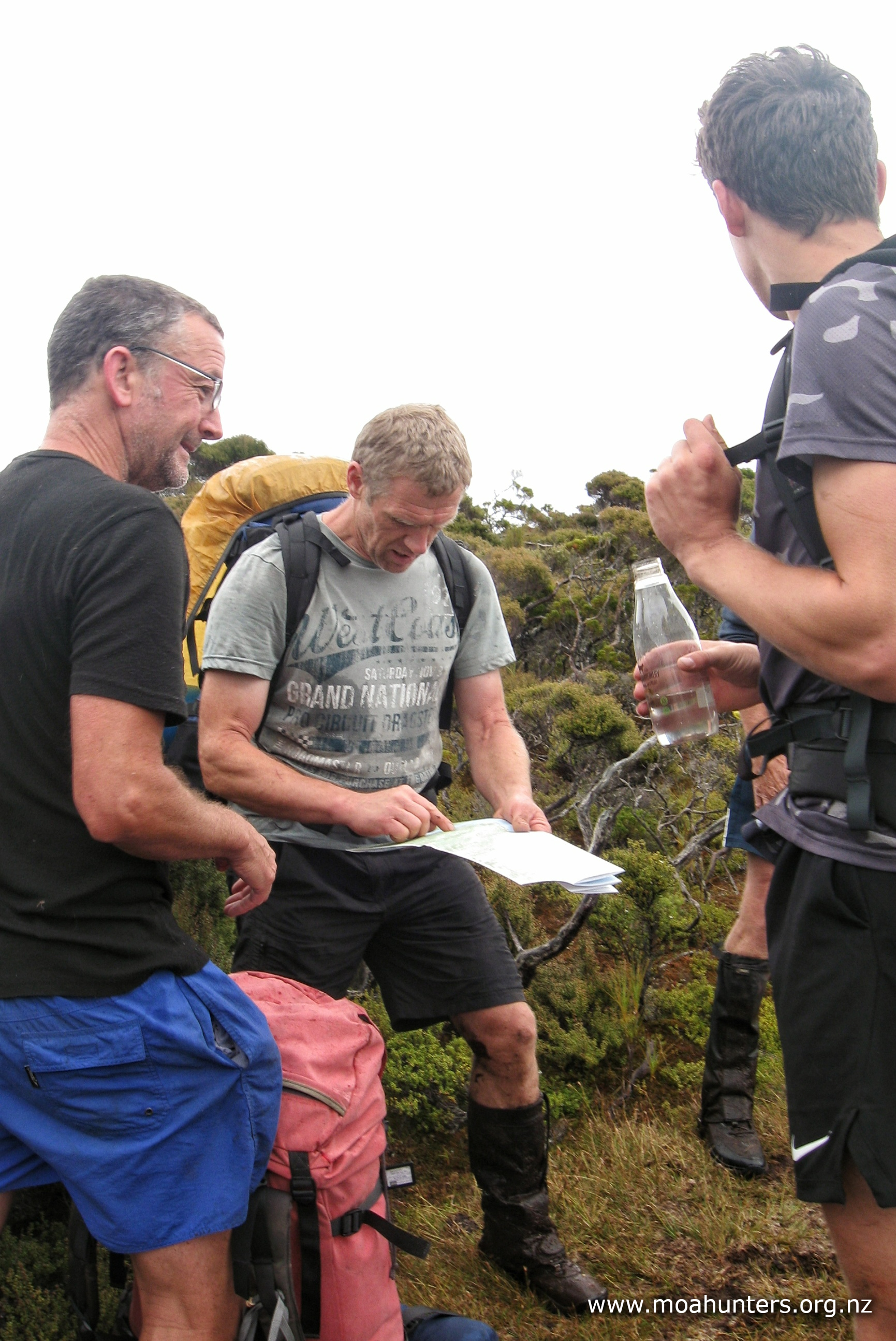
Looking back through the DOC hut intentions book is always an interesting read. Aside from giving some insights into what might lie ahead on the track, they also have some funny stories. Or in the case of the Mason Bay book, some amazing if slightly disturbing art works!


At the edge of the lawn in front of the hut, a twisted old cabbage tree has been decorated with shipping buoys that have washed ashore. It’s a cheerful, almost Christmassy sight that even on a dull day brightens up the view from the hut.

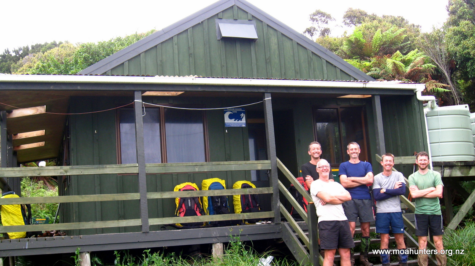
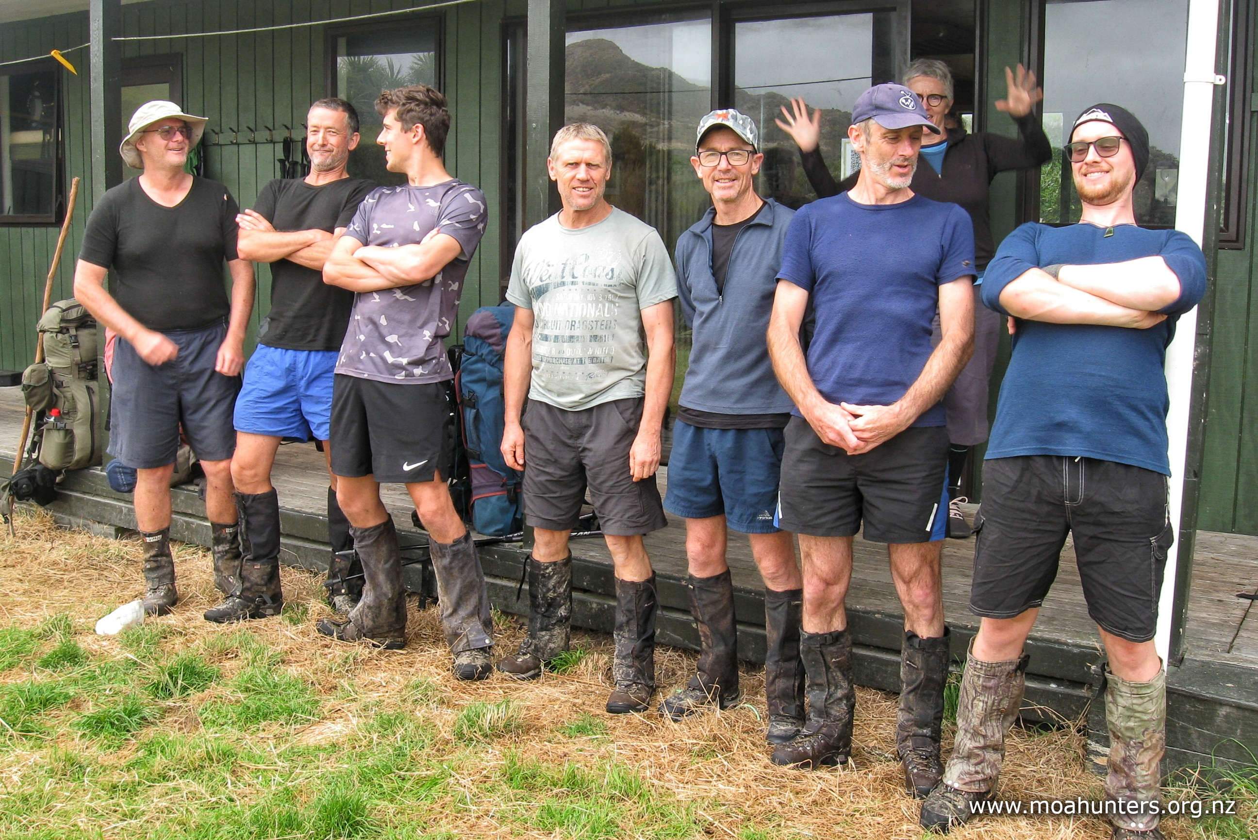
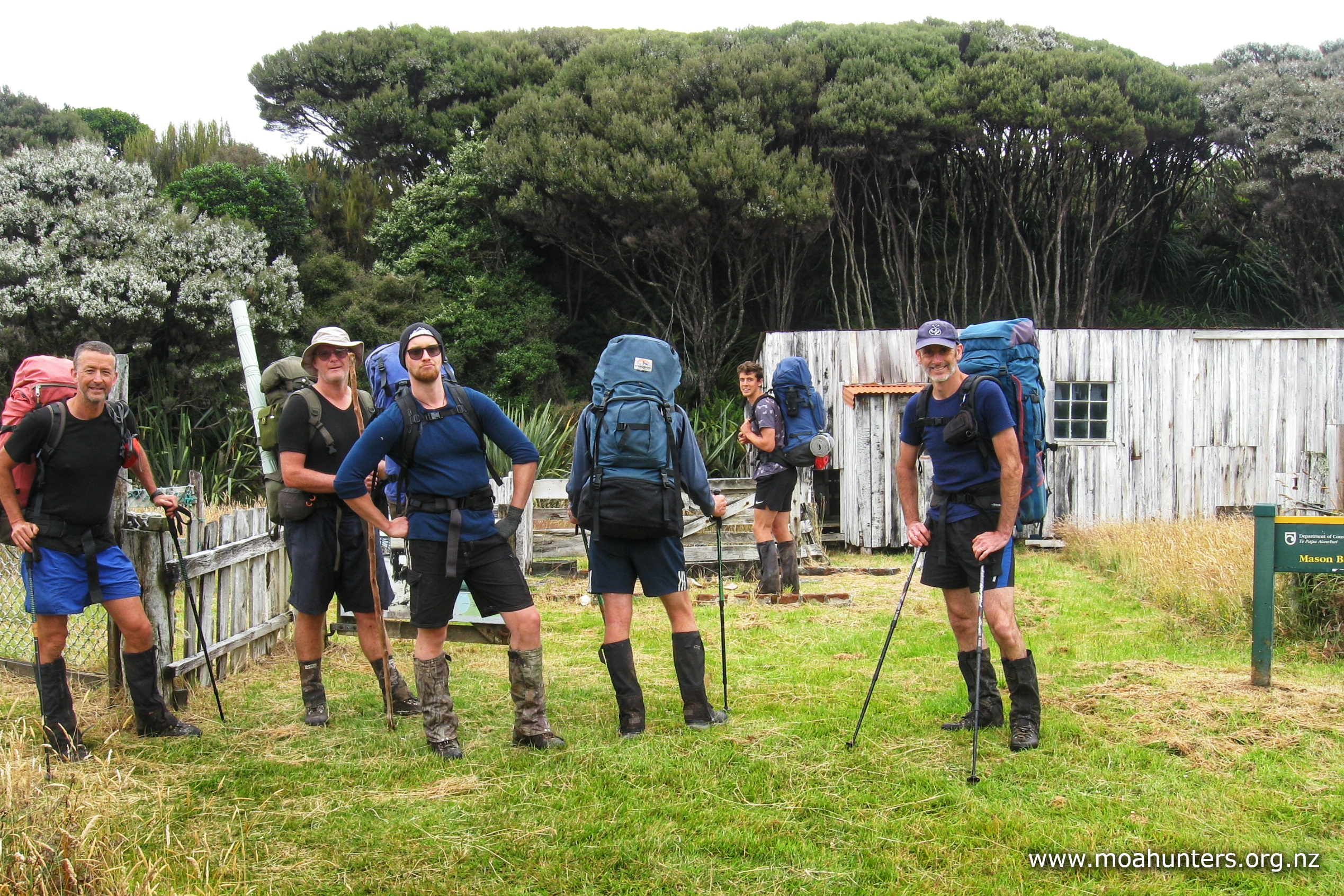
After eating too much porridge, drinking too much coffee, and waiting too long for Paul to realise he was trying to put both gaiters on the same leg, we were finally ready for action. A quick team photo outside the hut was snapped, and we were on our way just after 11:00am.
Some of the Moa Hunters had walked this section of track back in 2015 on Day 2 of our trip round the NorthWest Circuit. It is essentially flat and doesn’t take much more than a few hours.
Wandering down the track that Adam, Richard and John and gone kiwi spotting on the night before, this time we got properly lucky. A rustling in the bush to our right gave away one of the elusive Rakiura Tokoeka looking for its morning tea. We all enjoyed a wonderful two or three minutes watching it busily rooting about in the undergrowth. It was the perfect start to the day and put big grins on all our faces.
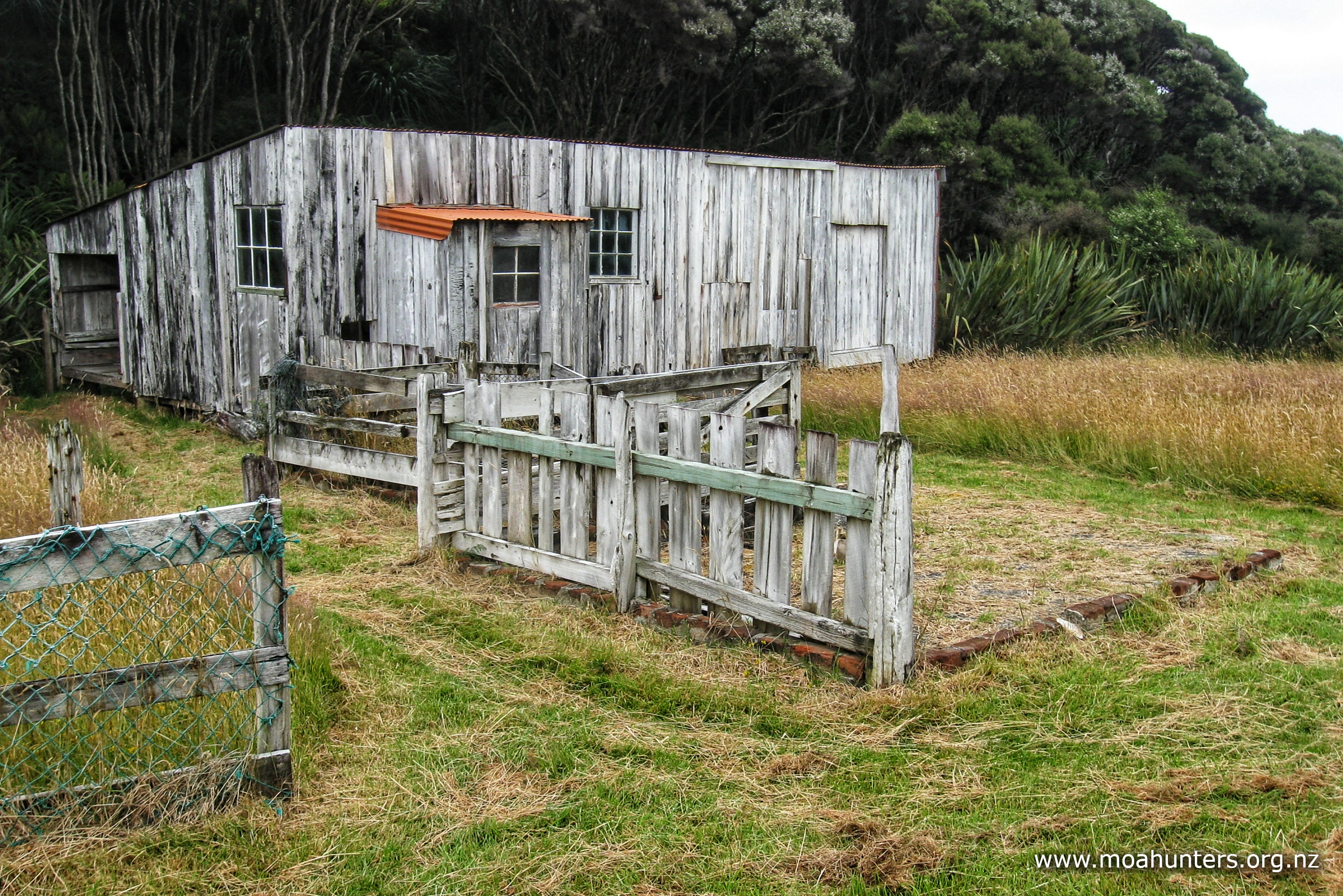
The track runs past historic Island Hill homestead. The old buildings, still in use today, were built in the early 1900’s to manage and develop a sheep run down the low flats to Freshwater river. Attempts to graze sheep in this area started in 1874 when settlers from Scotland first arrived on Rakiura Stewart Island looking to start a new life. Theirs, and all subsequent efforts ended in failure. Some sooner than others. The boggy unproductive soils of Rakiura provide low quality grazing for sheep, supporting little more than subsistence living at best.
From the old homestead the track cuts between dunes through sandy land covered by a dense bed of flax, scrub and tussock. Battling through that mess would have been a challenge for early settlers.
Beyond the dunes is a huge flat basin. This is the area early sheep farmers were targeting for pasture. Long drainage canals were dug through to the Freshwater river. The goal was to drain the swamp, slash and burn the scrub, transforming the area into arable farmland. The track follows the old canals that still flow straight as an arrow across the flats.

A lazy lunch was taken in the long manuka corridor between the drains. As we lay back munching on our rations, we spotted a lone figure coming towards us down the trail.
As he got closer, we recognised Steve the hunter from Doughboy bay. He looked to be carrying a very heavy pack, and slightly bizarrely, was wearing sandals. Puffing a bit, he stopped to talk, telling us that he was on a mission! The family had underestimated how hard the walk out of Doughboy would be, and had camped the night at the top of Mason bay. Steve’s boots had disintegrated on the walk, and he had to resort to wearing sandals and lots of tape on his feet.
Today, they needed to get to Freshwater hut for a 4:30pm water taxi, and were running tight on time! He was racing ahead of his family with a lot of gear, planning to drop it at the hut, then leg it back and help them make better time. We offered to take some weight off him. He hesitated for about a second, before taking us up on it. We each took a kg or more of his gear. His pack was still bloody heavy even after unloading 8kg in our direction! Steve is one fit fella carrying that lot.
With our hunter friend slowly disappearing down the track ahead of us, we hefted packs and made our way down the boardwalks towards Freshwater. Along this section, the track varies a little… but not a lot. The easy walking gave us lots of time to chat, or contemplate the world quietly, as we wandered along in easy conditions.


Between five and ten minutes from the hut, we met Steve who was now racing back up the track on the return leg towards his family. We wished him luck, all wondering how much chance he had of pulling off his rescue mission and getting back for the water taxi.
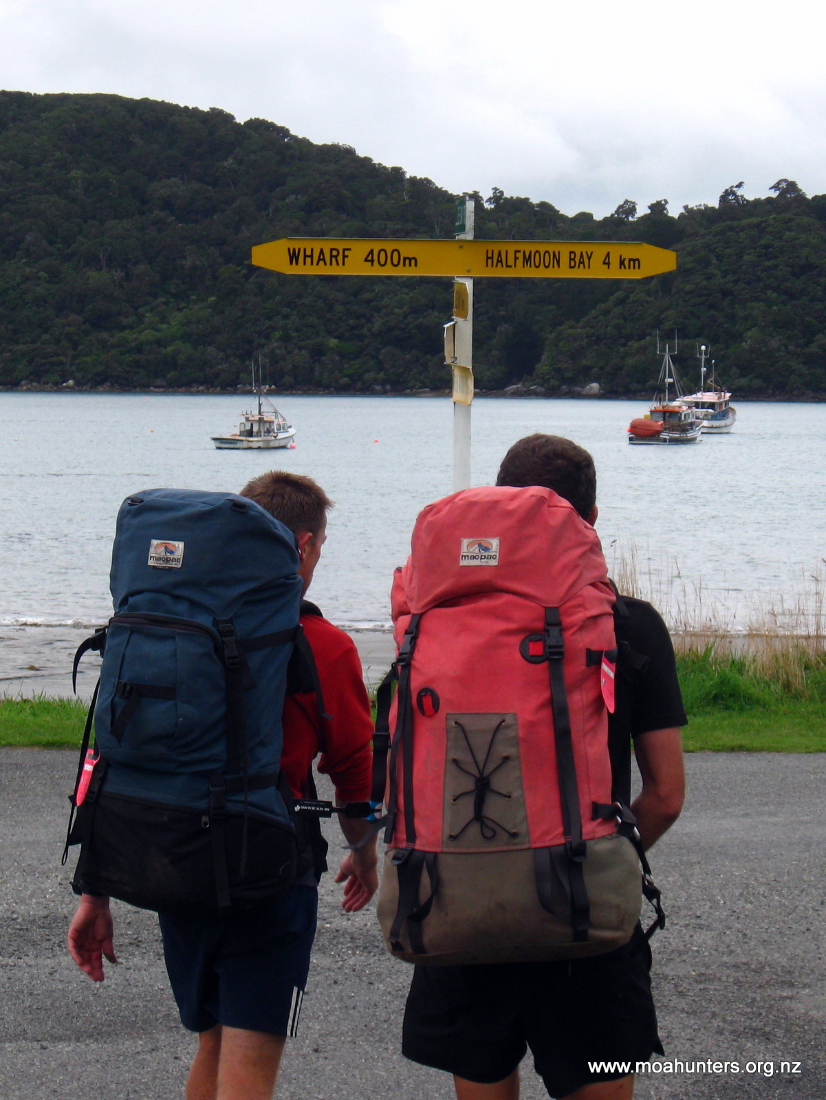
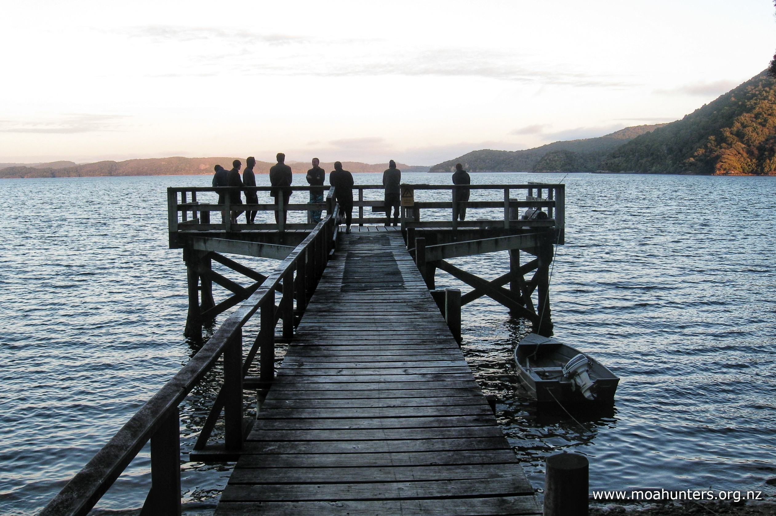
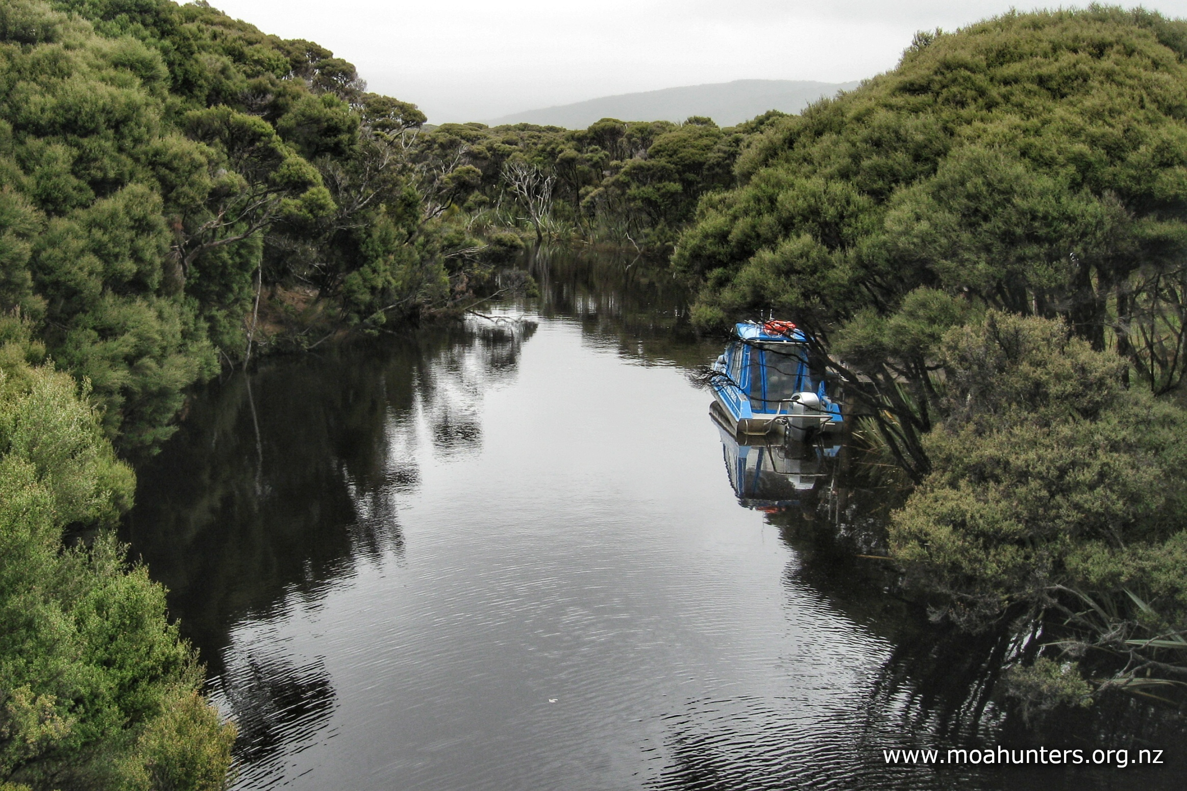
At the jetty, we dropped our packs, loaded Steve’s gear back into his, and said some hellos to the people waiting there for water taxis. Evan from Mason Bay was there, and he agreed to take a box of of gear and rubbish onto the water taxi with him for us. If our plan came together, we would receive our two boxes of supplies delivered by the 5:00pm water taxi. We would quickly empty one and then fill it with a pile of no longer needed gear, and he’d take it out. He told us he could leave it in the shed beside the Stewart Island Air booking office. Awesome. Evan is a legend!
When the 4:30pm water taxi arrived, we told the captain that the hunter family were on their way, but running desperately late. He was happy to wait until after 5:00pm for them. None of his other passengers were in a hurry, and the tide would hold in until then.
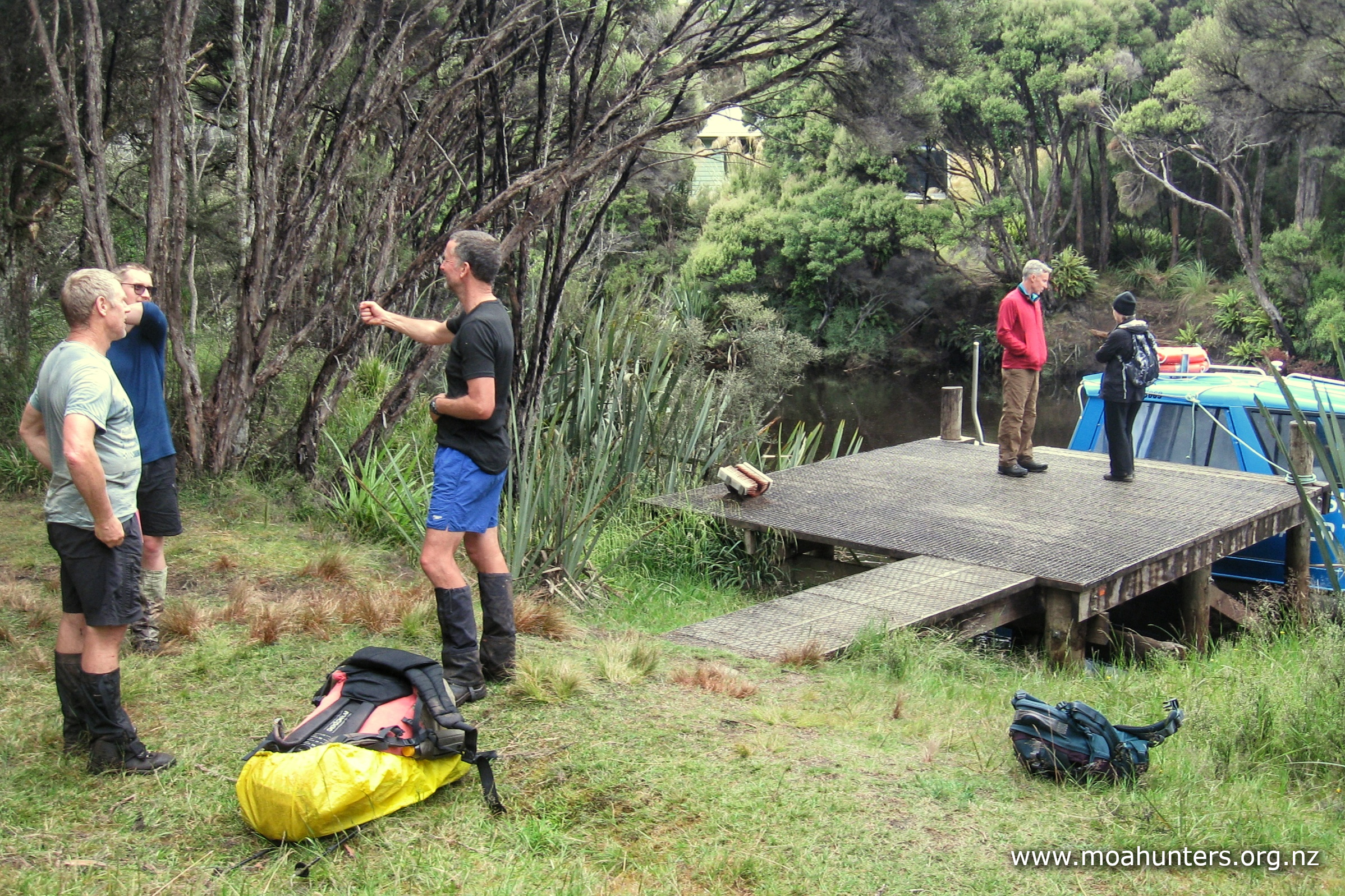
Shortly after 5:00pm we could hear the family approaching. From the other side of the river we cheered and applauded as they broke out of the track and onto the jetty! They had big smiles of thanks and relief on their faces.
They had generously given us delicious paua for our dinner at Doughboy, and a day later we had the opportunity to return the kindness when they really needed it. That’s what the spirit of tramping is all about.
Day 8
SaturDay 22nd January – Freshwater hut to North Arm Camp
Breakfast today was a big treat! Our supplies delivery the previous afternoon included tins of fruit, pancake mix, maple syrup and eggs. We feasted happily on scrambled egg expertly made by Logan, and pancakes, equally expertly flipped by Chris. There was more than enough to go round!
Despite the large breakfast extravaganza, we were all ready to hit the track by 9:00am. Not a bad effort for the Moa Hunters. We snapped a team photo in damp conditions outside the hut, all of us opting for a pack cover, but not a jacket. Temperatures were still mild despite the now persistent splotchy rain.
In flood conditions Freshwater river can rise dramatically. In 2014, the river inundated Freshwater hut, completely covering the bottom bunks, leaving the occupants stranded on the top bunks. They were rescued by an Oban resident who came up the river in a boat, checking all was OK at the hut. Looking at how far below the hut the river usually runs, that would have been a lot of extra water!

We had heard that the walk today would be particularly nasty. When we enquired on our water taxi ride to Fred’s camp exactly how nasty it actually is, the water taxi captain had said he wouldn’t contemplate walking it. Other accounts we had seen told a similar tale. Allegedly Thomson ridge is a messy muddy scramble, and not at all pleasant. We all had this in the backs of our minds as we left the dry comfort of the hut.
From the hut the track began sedately, weaving a gentle meandering path through the forest. There was nothing too muddy or awkward, and the terrain was generally flat until the first stream crossing. From that point the climb up the side of Thomson ridge starts.
The ascent begins gently, allowing time to ease into it before we reached some steeper sections. We did come to the odd tricky scramble, but nothing too nasty. Our main surprise was encountering board-walked sections across boggy areas and logs with wire mesh on them in others. These were luxuries not seen on Doughboy or Adam’s hill.
As the track nears the top of the ridge it does get quite steep, but no worse than anywhere else on the Southern circuit.
Over the crest, the initial descent was similarly steep, with some fairly large drops at times that were more than a comfortable step down. But there was no deep mud and conditions were not especially slippery.
Around every corner we had been anticipating the nightmare nasty track conditions to arrive. And they never did. Thomson ridge, it turns out, is a relatively tame beast. A friendly lap cat in comparison to the nasty growling feral animals we battled over Doughboy and Adams.
It was close to midday when we became aware of the sound of a stream running below us. We had been walking a pleasant ridge down for quite some time, and were relieved that lunchtime would not be far off. Or so we thought… it turns out that sound carried a surprisingly long way, and it was thirty further minutes before we reached a suitable lunch spot near the steam.
It seemed that no sooner had we pulled food out of our packs and settled in for some serious lunch munching than a light rain again began to fall. The weather Gods were obviously having a laugh at our expense. It wasn’t enough to make us pack up lunch immediately, but it did hurry us along again. Moa Men hate having to hurry their lunch.
Our lunch spot was right at the spot where a bridge once spanned the stream. We presumed a tree had destroyed it. This was mainly due to the fact there was a very large recently fallen tree right where the bridge once was. From what we have read, DOC have no plans to reinstate the bridge.
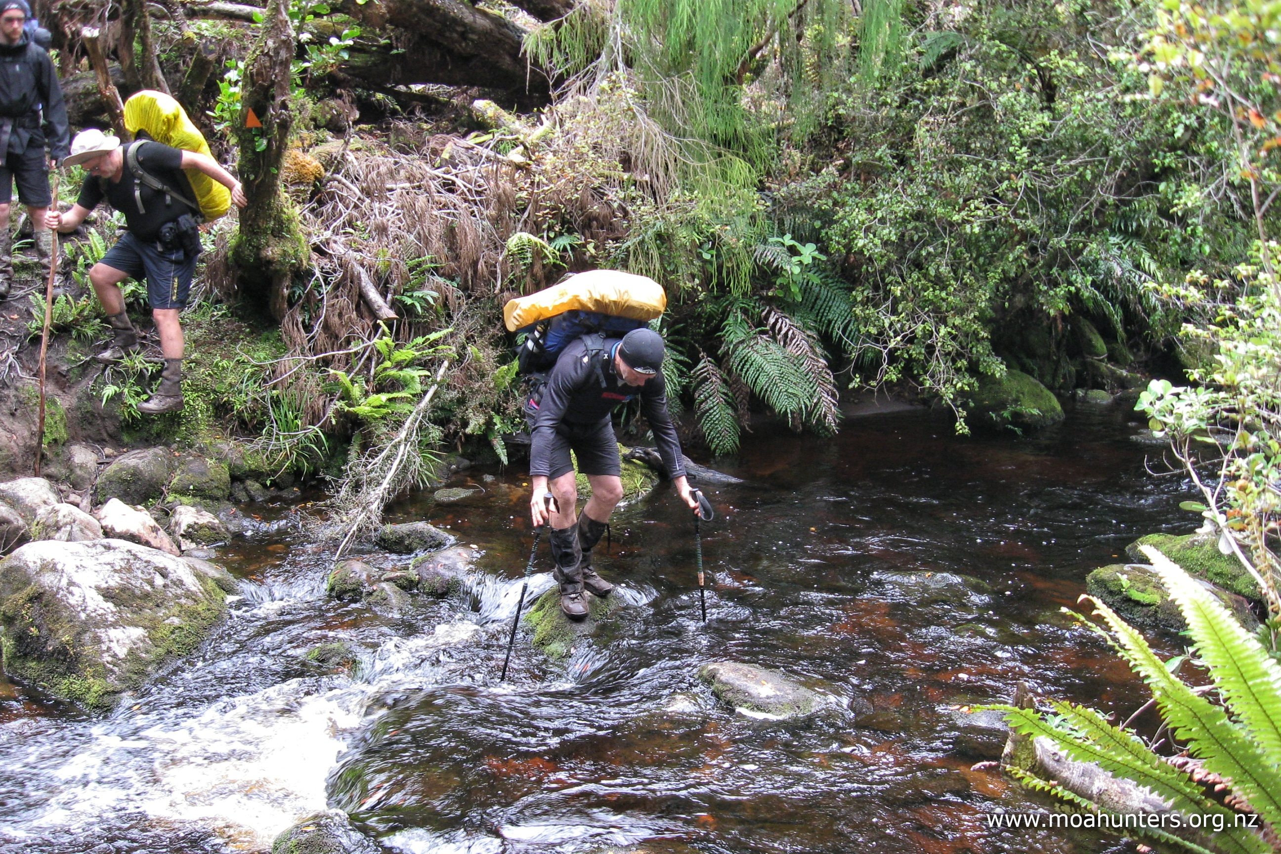
Crossing the stream without getting wet feet was certainly a lot easier for those with walking poles. Slippery rocks made progress precarious. Those with poles threw them back to those without.
From our lunch spot, the track meandered in and out gullies as it tracked up the coast to North Arm hut. It felt like civilisation was just around the corner.

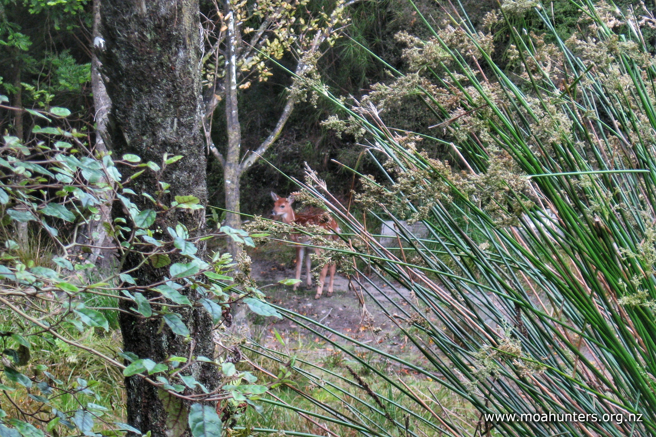
When we reached North Arm hut, that feeling was confirmed! It was chock full of trampers. Packs were stacked all about on the deck, and the place was bustling with activity and noise. Despite the hubbub, a white tail deer was brazenly grazing just metres from the hut… That deer was clearly aware it was standing very safe in a no hunting zone!
Paul ventured inside the hut to prep us all a hot drink on the handy benches, thinking we could make use of the comfy tables on the deck outside for a brew.
Meanwhile, Adam and John dropped packs and headed up to the campsite for a reconnaissance mission. They were back in short order reporting the campsite had an excellent shelter with benches and tables. Hot drink operations were quickly relocated to the impressive and well equipped North Arm campsite.
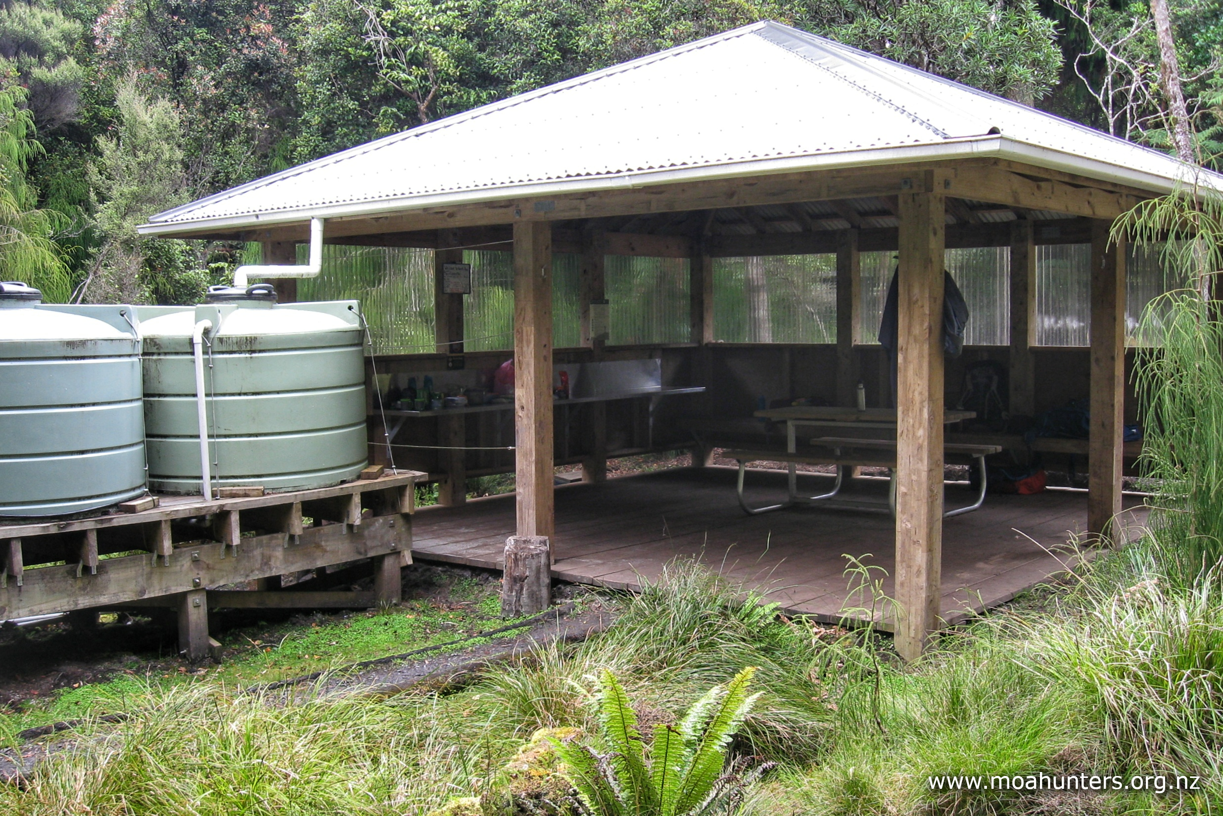
The campsite definitely rates five Moa Hunter stars. The large shelter is a solidly built six metre square structure with a bench area along one side, seating along another, and a picnic table in the centre. Fresh drinking water is easily obtained from the rainwater collection tanks. There is even a sink at the end of the tanks for dish washing. Luxury!
We setup three tents and a shelter in different spots around the campsite. We were not the only group in residence, so had to spread ourselves about to take advantage of the best remaining flat spots.
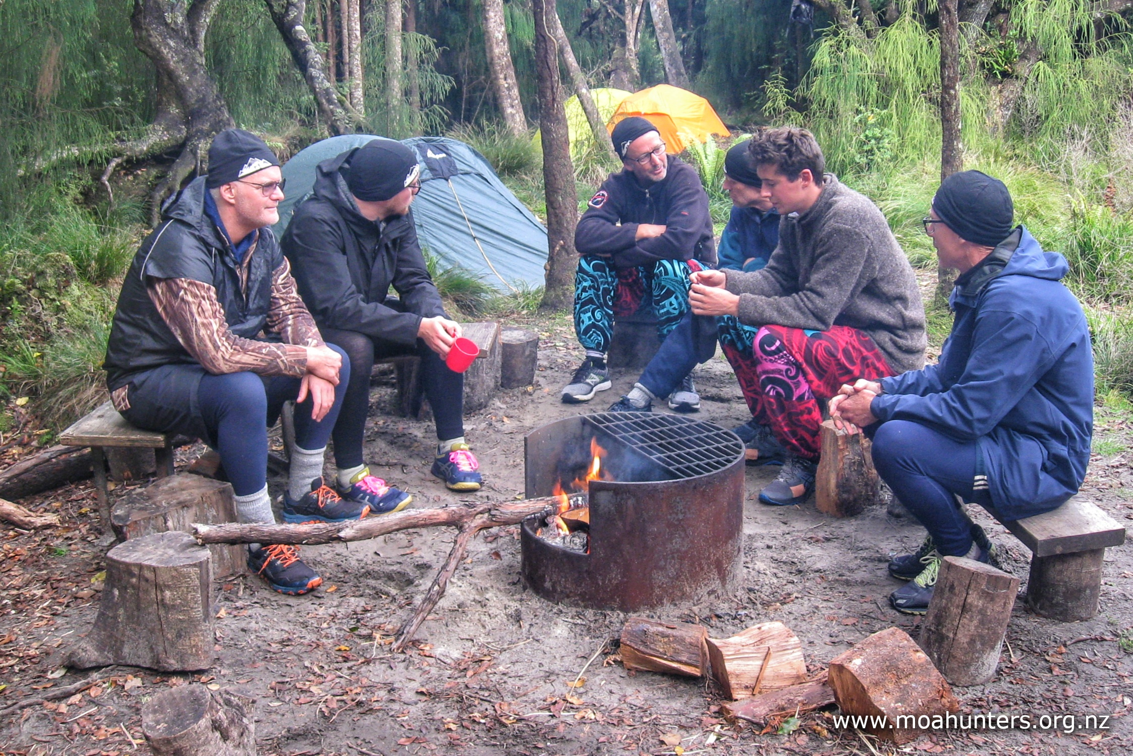
The family group had started a nice bonfire in a designated fireplace which we took advantage of when they were not using it. Sitting round a crackling open fire, adding firewood from time to time, and generally talking nonsense is a very pleasant way to spend an evening with good tramping friends.
With the prospect of an early start the following morning, seven Moa Men were all tucked into in their sleeping bags by 9pm.
Day 9
SunDay 23rd January – North Arm Camp to Oban
The final day of the 2022 Moa Hunt started early for Adam and Paul. During the wee small hours they were both startled awake by the sound of a billy clattering onto the ground.
Crawling out of a tent in the dark and cold to investigate strange sounds is never fun. Adam wearing just his underwear and a headlight found a slightly better dressed Paul at the shelter. He had just shoo’d a cheeky possum off the bench and was assessing the damage. A scroggin bag lying on the ground had been decimated, with just a few errant peanuts and raisins left. Other items lay strewn about where the possum had knocked them.
Paul and Adam tidied the area, securing any food items from further attacks. Once happy that the place was relatively possum-proof, they both headed back to bed.
At 6am the Moa Hunters were all out of bed. Tents were dropped, rolled and packed. Our aim was to be on the track ASAP. Ferry check-in time was 11:45am and we didn’t want to miss it.
Brekkie was a bircher muesli eaten out a single big billy for easy clean-up. Bircher muesli is an excellent alternative to a cooked porridge. Made the night before, vanilla instant pudding is mixed with porridge oats as a substitute for the more traditional yoghurt to create a rich, sweet creamy muesli. A few handfuls of dried fruit and nuts complete the recipe.
With our bellies full and packs on our backs, we set off for Oban.
The last day of a Moa Hunt always holds mixed emotions. There is the slight sadness that the trip we had all been looking forward to for so long is almost over. But that is tempered with the prospect of seeing family, friends and loved ones again. Walking down the final section of track, you feel like you want to somehow commit every detail of the adventure into permanent memory, with no fading over time.
Being part of the Rakiura great walk, this final leg to Oban is well maintained and easy. Boardwalks and wooden steps abound. With very few obstacles ahead and a fair bit of match fitness from the previous week’s exertions, we smashed the kilometres out very quickly.
Strangely, there were a few quite muddy areas along the way. Not many, but they stood out in stark contrast to the rest of the board-walked, nicely graded and shingled highway we had been enjoying. Maybe it is not so much neglect, but a deliberate decision by DOC to ensure those doing the Great Walk get to experience some of the legendary Rakiura mud…
We stopped for a scroggin break at the historic site of one of the many sawmills that once operated in this area. In the late 1800’s there was a dam and a waterwheel here that powered a mill that converted massive logs into timber for building. Milled timber was shipped out of Kaipipi bay and Prices inlet to Oban and from there to mainland New Zealand and Australia. Now, all that remains of the dam that helped power this mill are some large logs lying in the streambed. At the time we arrived it looked like DOC were renovating the area, adding boardwalks and information panels for visitors.
Beyond the old dam site, the track climbs steadily but easily away from the coast into lovely forest once more. After briefly flirting with the coastline again a short while later, the final section leading out to Oban gets steadily wider, to the point that vehicles could easily drive it. Thinking about it, this probably was once the case. It would have been an old road to the mill. Certainly it looked to have been paved at some stage.
We reached the official end of the track 3 hours after leaving North Arm campsite. All of us were a little footsore. Walking fast on the flat in tramping boots is never a happy place for feet. From the track end we followed 2km of shingle road that eventually joined the sealed Main Rd leading into the centre of Oban.
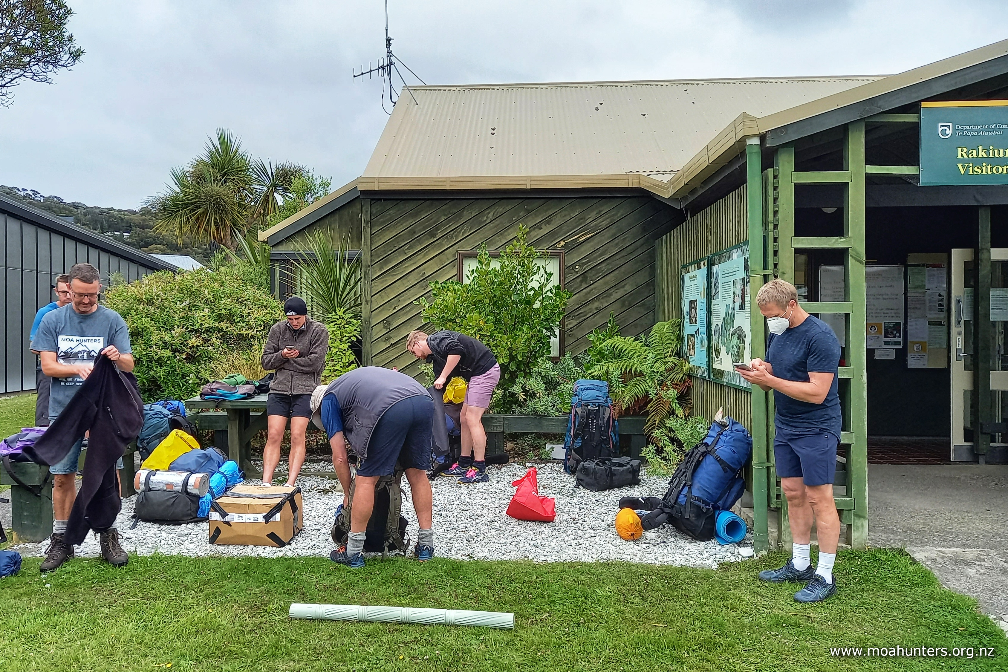
We stopped at the DOC information centre and retrieved clothes bags we had stashed in lockers a week earlier. Making use of their toilets we changed into slightly more respectable, slightly less stinky attire. We figured we owed that much to our fellow ferry and plane passengers later that day.
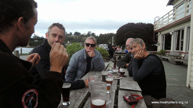
There was just enough time for a coffee at the South Sea Hotel before we boarded the Bluff ferry, homeward bound.

The Southern circuit had been another memorable, challenging, but extremely enjoyable Moa hunt. While we had spotted a distant cousin of the Moa – the kiwi, we had again failed to find a Moa. We will just have to head out again next year. Until we find a Moa, we keep walking…